We proudly present our 100 most recent articles. Since 2012 we wrote more than 700. please use our search field above in our header to find more content.
December 27, 2023
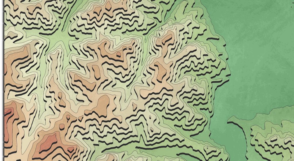
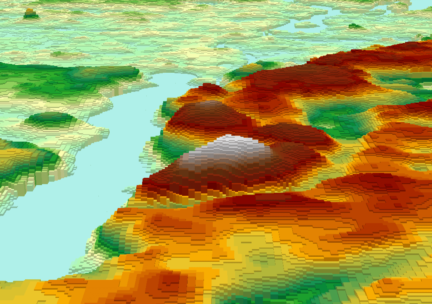
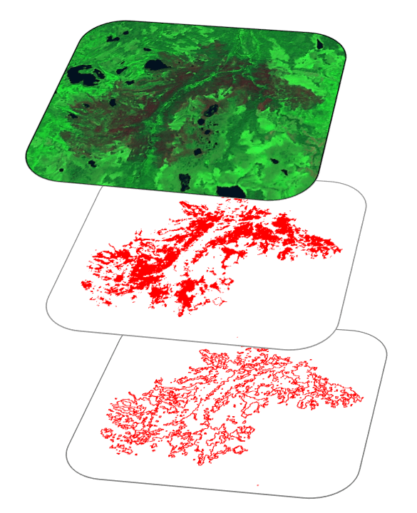
John Nelson did it again and amazed us by recreating AI topographic images with ArcGIS…
December 27, 2023
July 20, 2021
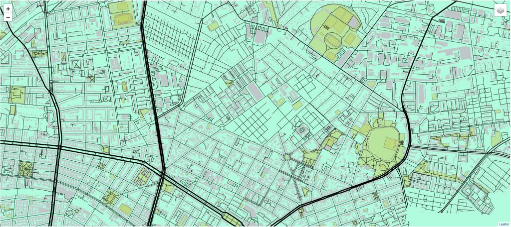
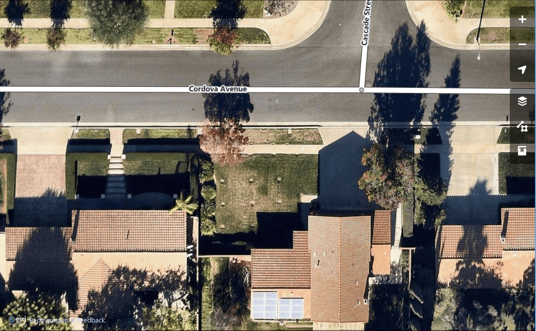
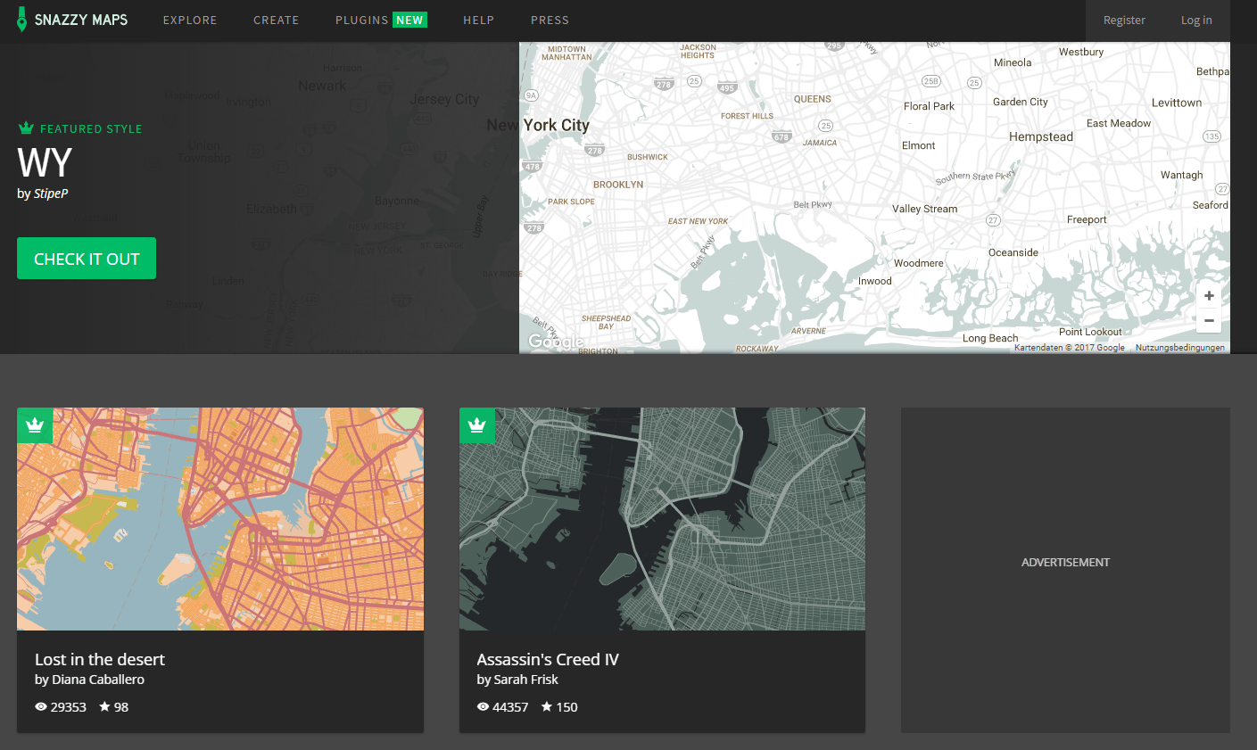
Basemaps are a web cartographers best friend, aren’t they. There are plenty of them online,…
July 20, 2021
February 4, 2021
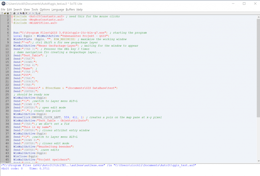
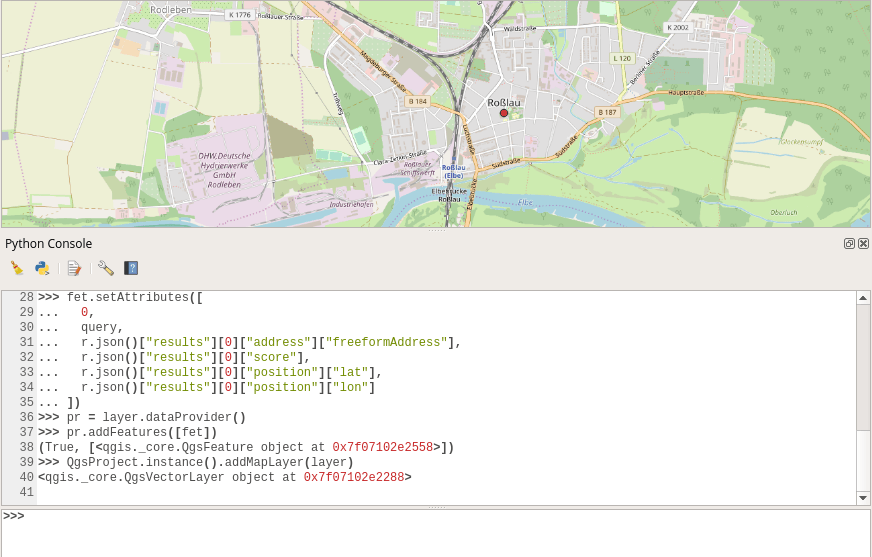
Today I wanted to hack together a standalone script using PyQGIS, the QGIS Python bindings,…
February 4, 2021
December 17, 2020
Placekey is a free address and point-of-interest (POI) matching tool that is now integrated with…
December 17, 2020
January 12, 2020
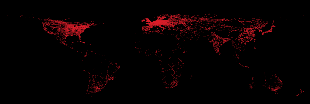
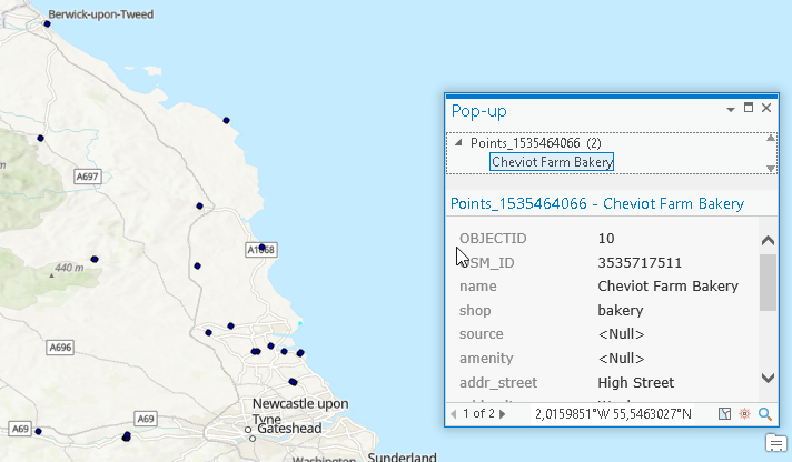
In the summer of 2019 Michael Marz started to extract most important items from OpenStreetMap…
January 12, 2020
December 23, 2019
I hate testing! Yet I do understand that it is crucial for a good software…
December 23, 2019
December 22, 2019
There are plenty of webmapping services out there. The best known might be mapbox, carto,…
December 22, 2019
December 21, 2019
GeoPandas, once installed, supports you with a handfull of GIS functions in your Python notebooks…
December 21, 2019
December 16, 2019
In the recent years I often worked with ArcGIS Portal / Enterprise and fell in…
December 16, 2019
August 11, 2019
Some time has past since I last wrote a DEM comparison, comparing ALOS World with…
August 11, 2019
July 31, 2019
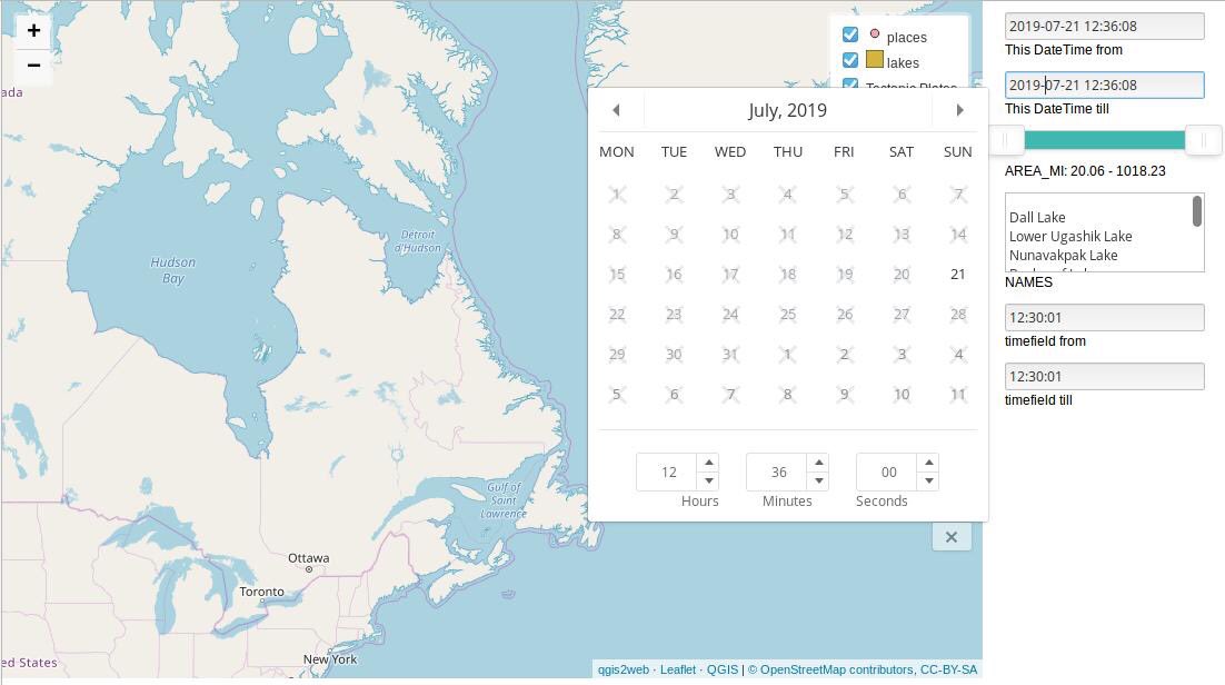
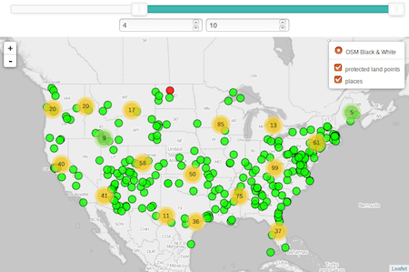
It’s been a while, since I last developed things for qgis2web. To be honest: I…
July 31, 2019
June 6, 2019
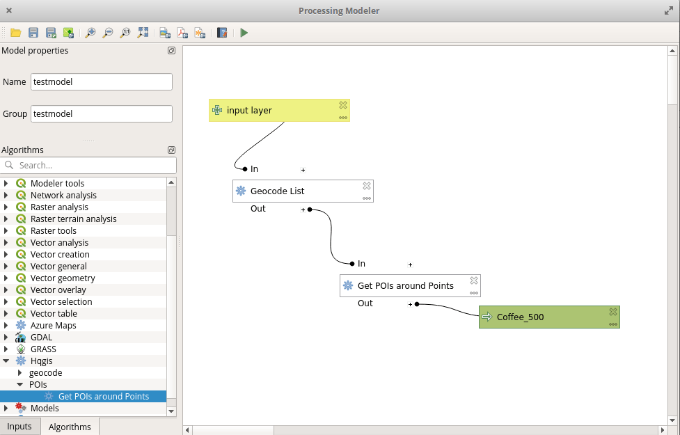
In the past I was working on different plugins to connect with multiple APIs and…
June 6, 2019
June 1, 2019
The ArcGIS REST API provides some interesting endpoints which can be used for free with…
June 1, 2019
May 24, 2019
The OSM based QuickOSM plugin offers a great way to download some data from OSM.…
May 24, 2019
May 15, 2019
API’s are getting more and more important as some (maybe the majority?) of GIS users…
May 15, 2019
May 13, 2019
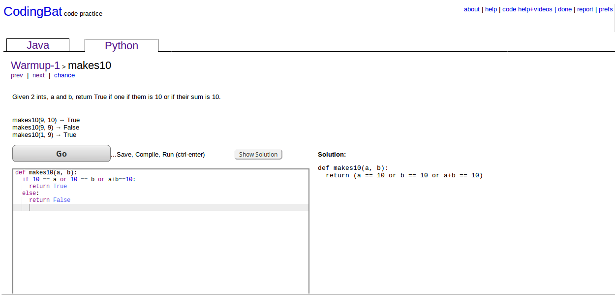
Currently I am trying to improve my coding skills in Python. Of course you can…
May 13, 2019
May 12, 2019
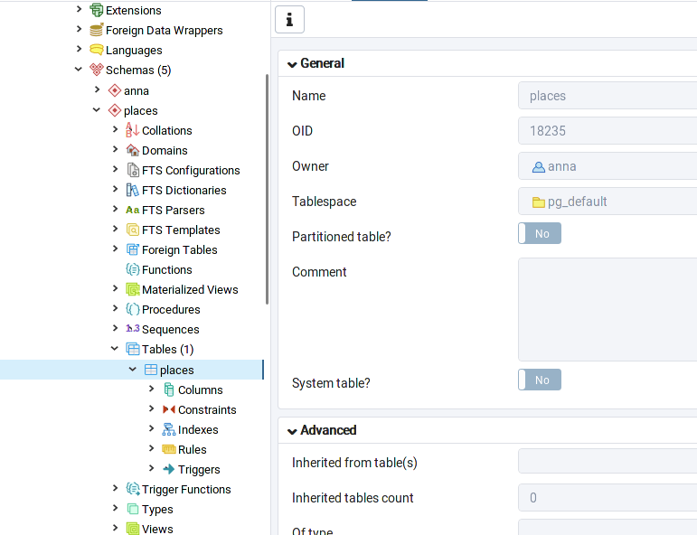
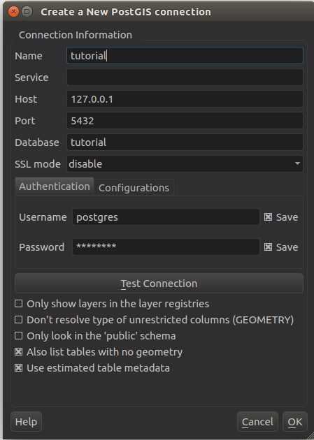
The last days I needed to work with other geoenthusiasts on a PostGIS database. Unfortunately,…
May 12, 2019
May 6, 2019
When using QGIS along with PostGIS you might want to publish data directly from inside…
May 6, 2019
October 2, 2018
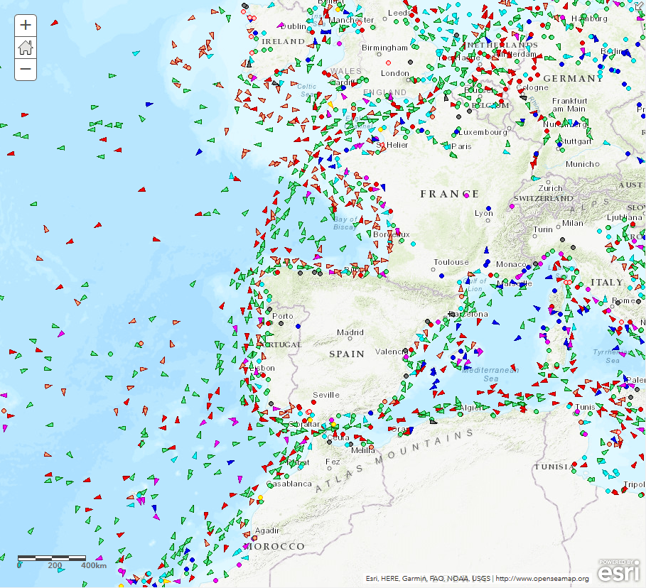
Let’s assume you like cruise ships, tanker, ferries or you’re so fortunate and own a…
October 2, 2018
August 28, 2018
QUickOSM is my weapon of choice when it comes to downloading data from OSM in…
August 28, 2018
June 4, 2018
The Copernicus Program provides an interesting alternative data source for your work with Landsat data……
June 4, 2018
May 30, 2018
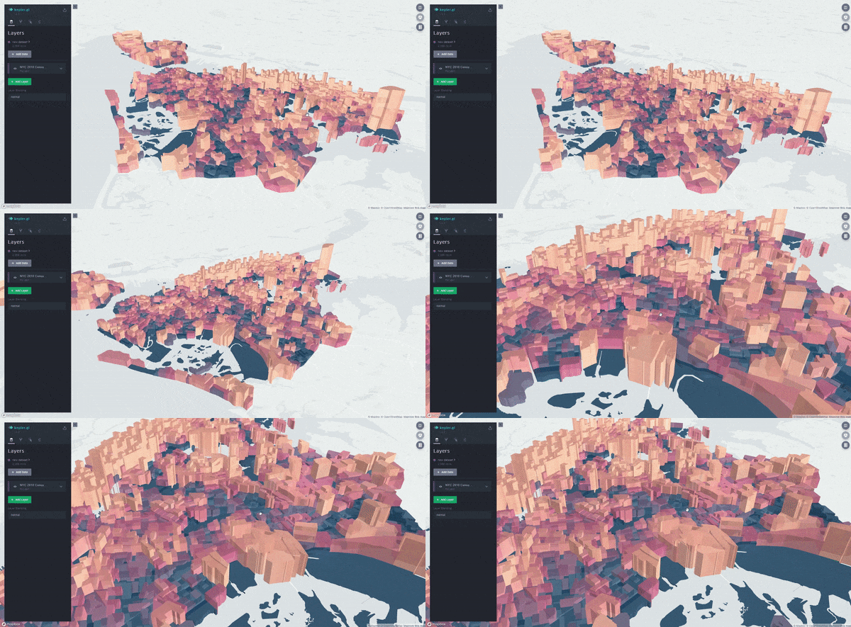
Back in 2016 Uber surpised the geo market with its solution “deck.gl“, a “predecessor” of…
May 30, 2018
March 6, 2018
We’re happy to announce the release of v4.5 of openrouteservice, which exposes unique services for…
March 6, 2018
February 26, 2018
On 24th of February, the QGIS developers have officially released QGIS 3 (codename “Girona”). It…
February 26, 2018
February 6, 2018
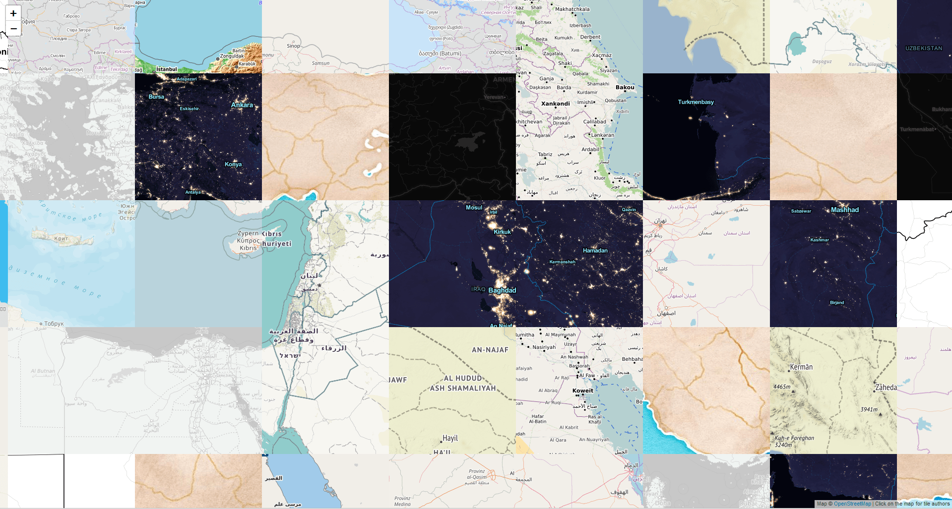
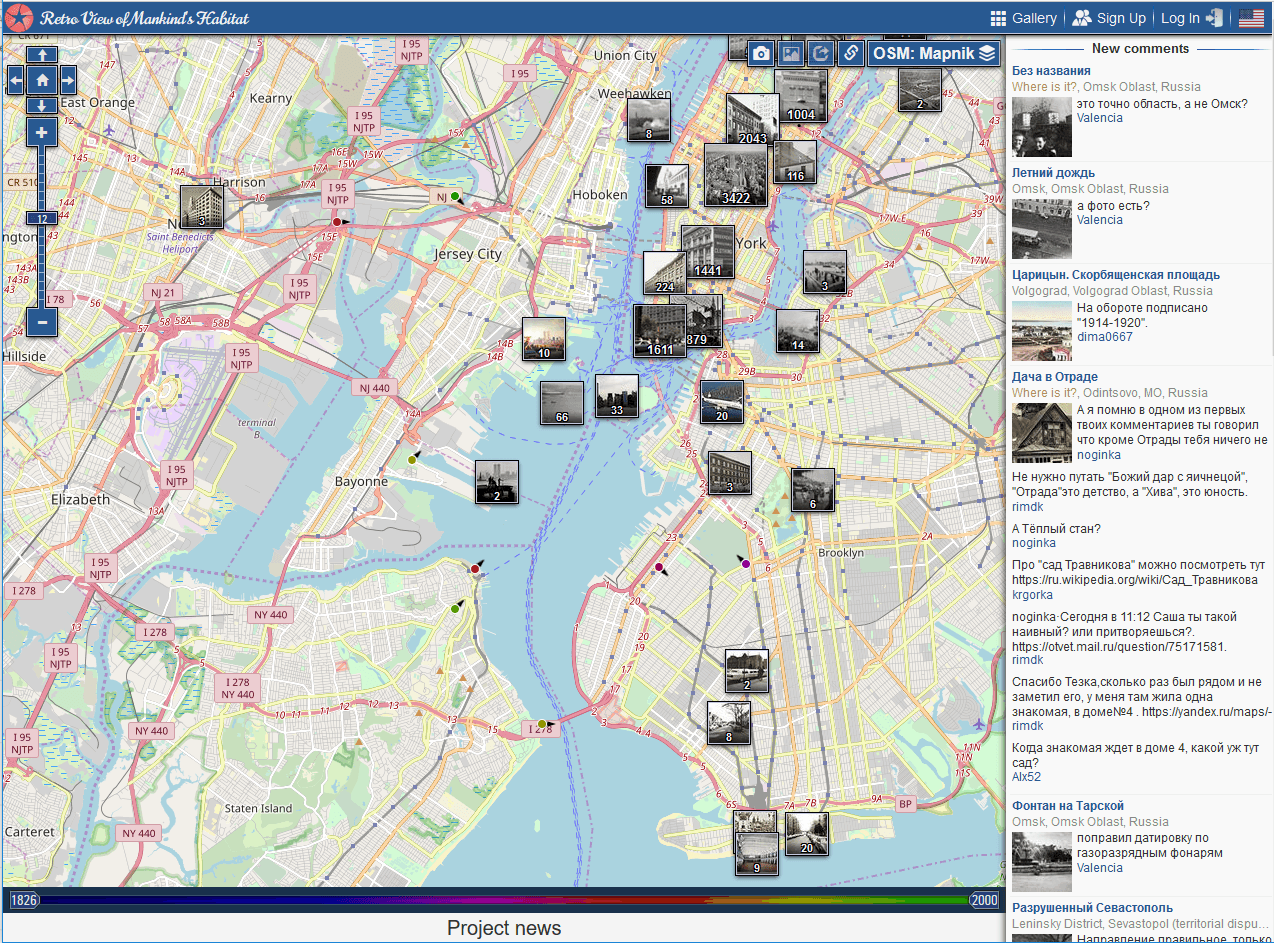
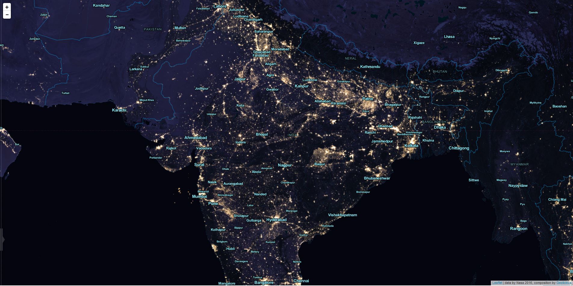
Choosing a basemap for your cool web map is always crucial for the style and…
February 6, 2018
January 26, 2018
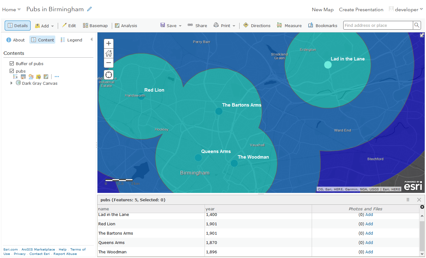
You might have heard of ArcGIS Online (AGOL) already: ArcGIS Online is a complete, cloud-based…
January 26, 2018
January 17, 2018
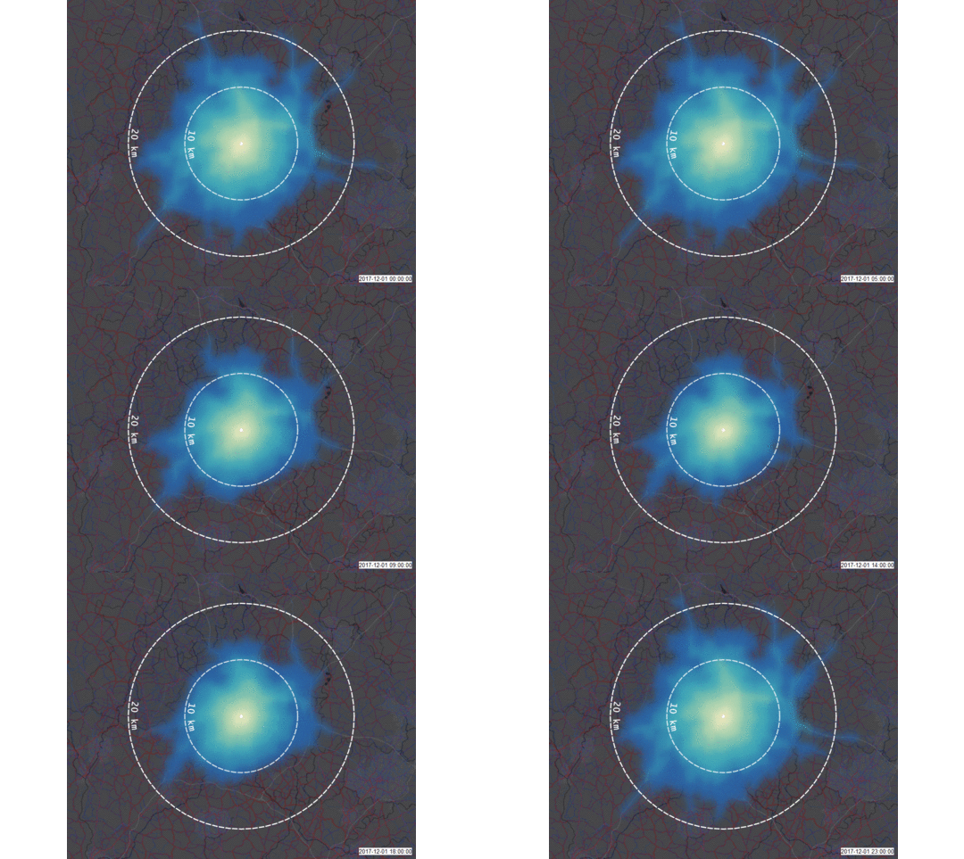
Our author Riccardo recently published an article on GeoNet where he described the traffic aware…
January 17, 2018
December 31, 2017
We are always looking for new ideas, tutorials, work flows, solutions. Unfortunately we were not…
December 31, 2017
October 16, 2017
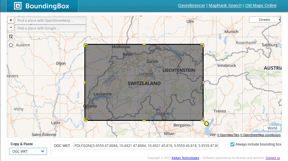
Bounding boxes are crucial for a lot of geospatial projects: wether you need to limit…
October 16, 2017
October 16, 2017
Once in past there was a project called Panoramio were you uploaded your photos of…
October 16, 2017
September 26, 2017
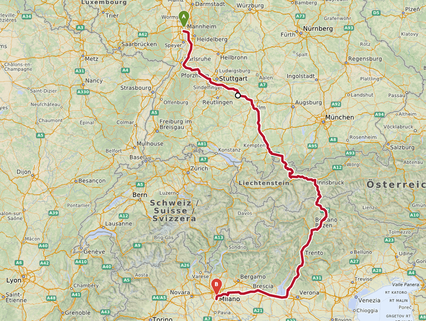
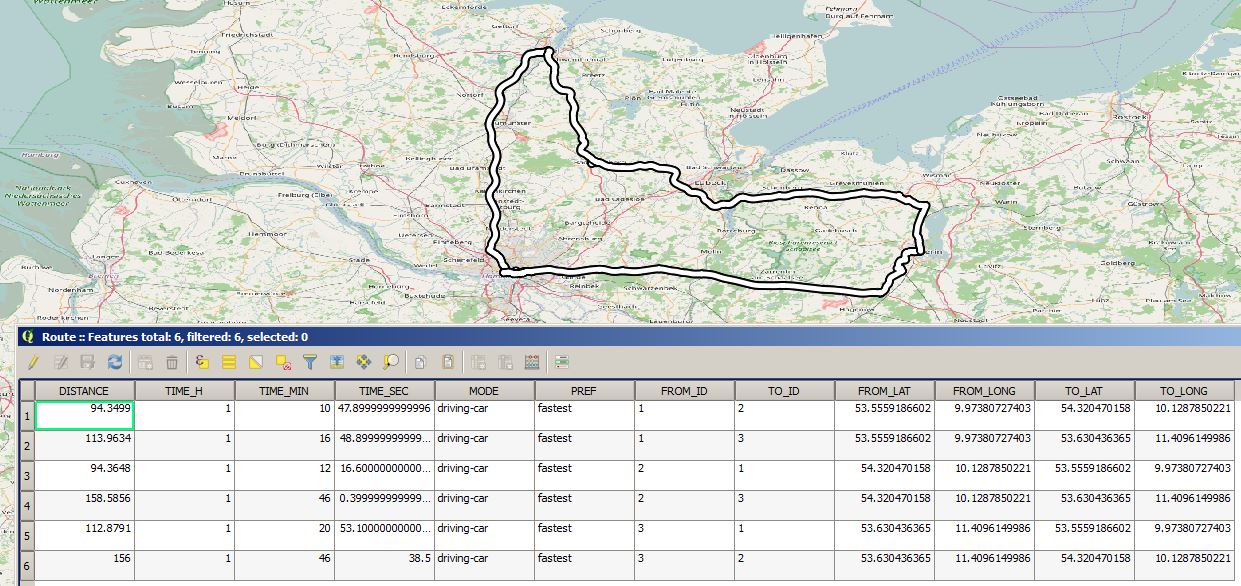
The page OpenRouteService.org is a very easy to use website which provides routing from A…
September 26, 2017
September 18, 2017
Donut Polygons were the nightmare in first GIS courses. At the very moment I can’t…
September 18, 2017
September 12, 2017
We all played around with this little thing: wood labyrinths with one or many little…
September 12, 2017
August 29, 2017
If you digitize features for OpenStreetMap you might have used Landsat data or the Bing…
August 29, 2017
August 25, 2017
Introduction In my previous two posts I introduced the Cloud based data broker technology ERDDAP…
August 25, 2017
August 25, 2017
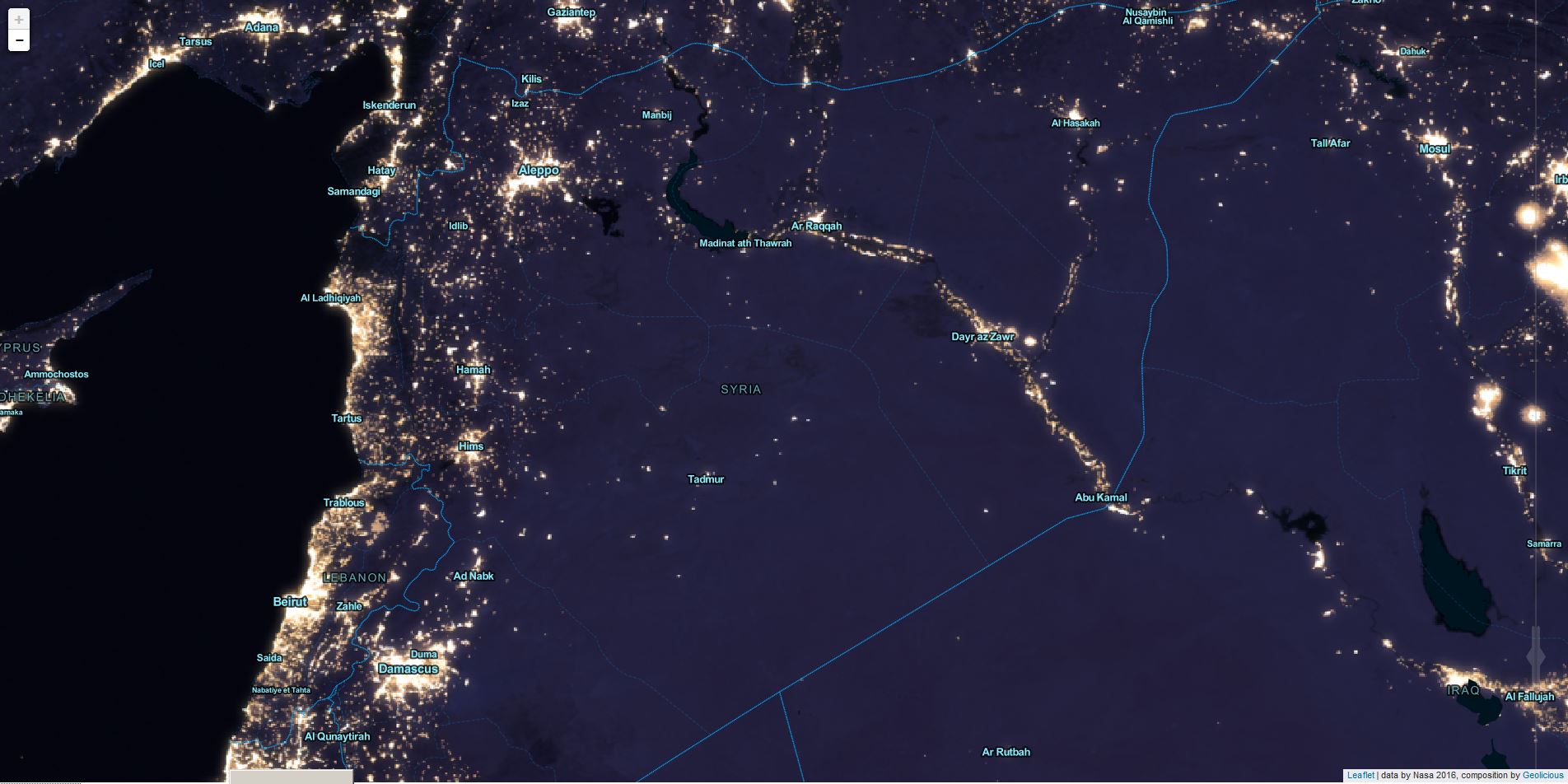
Mapbox created a cloudless Landsat map in 2013. That was a huge step for all…
August 25, 2017
July 15, 2017
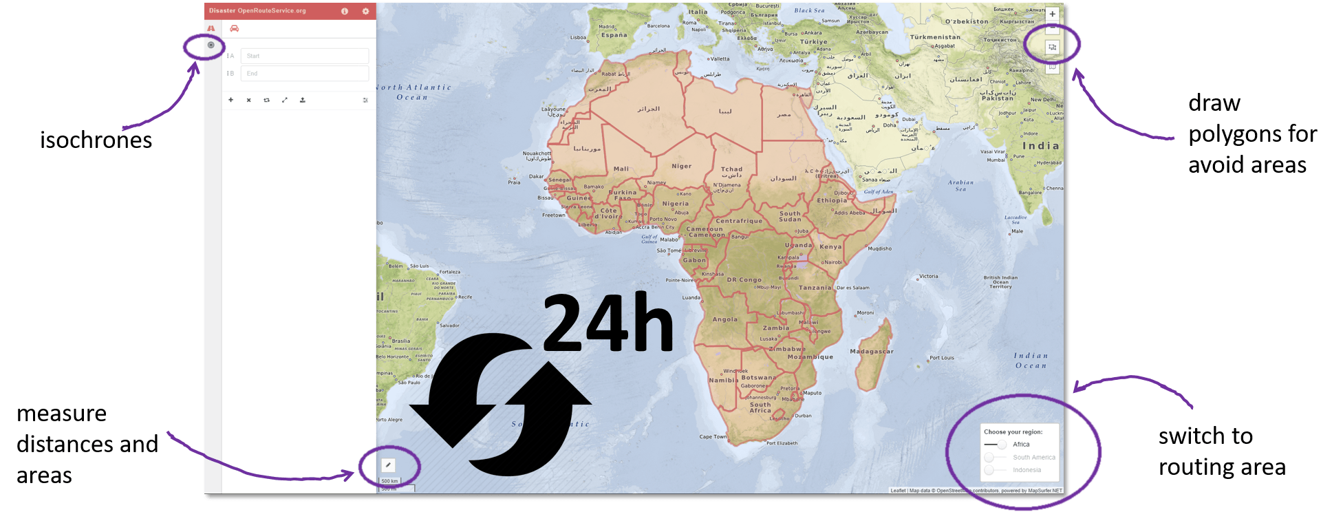
Recently HeiGIT @ GIScience Heidelberg released a dedicated stable disaster versionof OpenRouteService (ORS) to support humanitarian logistics…
July 15, 2017
June 25, 2017
What if you want to build your own webmap on your WordPress blog without any…
June 25, 2017
May 22, 2017
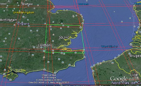
If you are reading this post – you might know something about satellite imagery. This…
May 22, 2017
May 17, 2017
Tiled map layers are an important part of the digital mapping stack, since Google and…
May 17, 2017
May 12, 2017
Two years ago I wrote the OSMroute plugin which enable the QGIS user to use…
May 12, 2017
May 7, 2017
In one of my last posts I described the installation of a git server to…
May 7, 2017
April 19, 2017
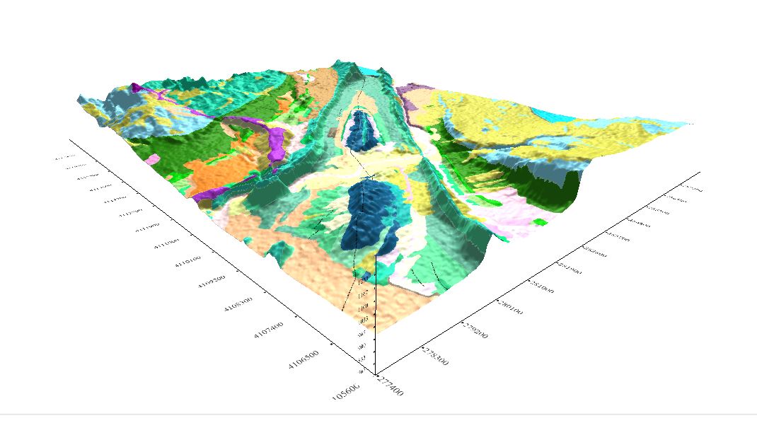
Geomodelr is the first web geological modeling platform. It helps you to model complex geological settings…
April 19, 2017
April 18, 2017
About four years ago, Daniel wrote a short article on how to publish a GeoTiff…
April 18, 2017
April 18, 2017
I want to continue my article “Using the Google Earth Engine (GEE) for Detection of…
April 18, 2017
April 12, 2017
This might be a bit off-topic for some of you but it was on my…
April 12, 2017
April 7, 2017
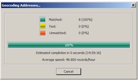
In one of our latest projects we faced a sad truth: geocoding results often sucks…
April 7, 2017
April 5, 2017
Google Maps is one of the most popular web-based map services. If you want to…
April 5, 2017
March 26, 2017
Google Earth Engine ( GEE ) is a cloud platform for processing satellite imageries. This…
March 26, 2017
March 17, 2017
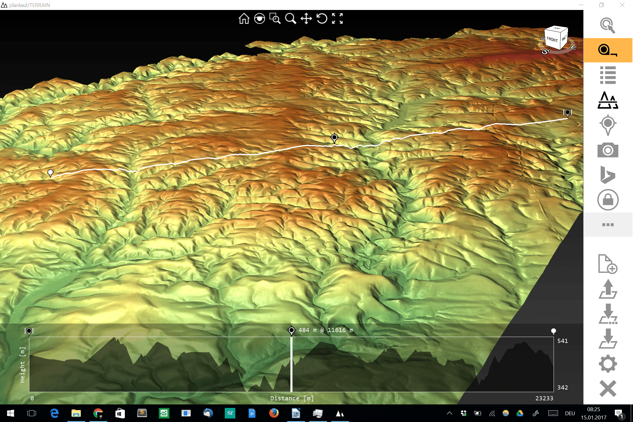
The visualization and interpolation of 3D terrain (point) data (DEM or DOM) could be a…
March 17, 2017
March 10, 2017
Some days ago a new version of the ALOS 30m DEM was released: Void pixels…
March 10, 2017
March 8, 2017
QGIS 3.0 is the next big release in terms of features and tools. As it…
March 8, 2017
January 3, 2017
As I realized that I have a really huge family I was keen to digitize…
January 3, 2017
January 2, 2017
This post is just a quick update on a unique event unfolding in my home…
January 2, 2017
December 29, 2016
There is this time of the year when the presents are unboxed and the new…
December 29, 2016
December 22, 2016
Over the last couple of years, we have seen an increase in demand and offerings…
December 22, 2016
December 12, 2016
Spatial data has some formats most of you know (shapefile, geoJSON, TiFF,…). But there is…
December 12, 2016
December 3, 2016
As we are thinking more or less specially I always ask myself: where can I…
December 3, 2016
November 30, 2016
For a geomorphological study that I am working on I want to produce topographic swath…
November 30, 2016
November 22, 2016
While preparing for an upcoming presentation at the annual meeting of the American Geophysical Union…
November 22, 2016
November 9, 2016
The well-known Q/A-forum StackExchange has started a new “Open Data” section. Users can ask for…
November 9, 2016
October 20, 2016
To work in QGIS is very often much more convenient if you can use a…
October 20, 2016
October 19, 2016
Probably everyone at least once in your life was searching for a job and had…
October 19, 2016
October 11, 2016
The first day of the Intergeo 2016 and it was just mind blowing. The last…
October 11, 2016
September 16, 2016
For all those who are interested in the GIS, there is approaching a very big…
September 16, 2016
September 9, 2016
Since our last tutorial regarding georeferencing images in QGIS is 4 years old, let us…
September 9, 2016
August 4, 2016
The coup/attempt in Turkey kept me up from going to sleep after the two nice…
August 4, 2016
August 2, 2016
Studying geosciences, geography or geology and all related disciplines commonly ends in the question of…
August 2, 2016
July 29, 2016
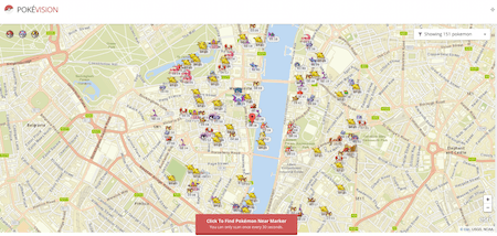
Until now I tried to ignore the worldwide Pokémon Go hype. But as the mobile…
July 29, 2016
July 17, 2016
The recent move from the Mongolian Post to use W3W as their new address system…
July 17, 2016
June 30, 2016
You probably seen this already (maybe on your very own PC as well): A folder…
June 30, 2016
June 28, 2016
The cloud has made it easier to process large amount of data, and satellite imagery…
June 28, 2016
June 23, 2016
If you create maps you always need to ask yourself: how can I make it…
June 23, 2016
June 2, 2016
Sentinel-2 is the optical satellite of the Copernicus programme. It can be compared to Landsat,…
June 2, 2016
May 31, 2016
What’s GDAL? GDAL is the Geospatial Data Abstraction Library, it’s a library to transform raster…
May 31, 2016
May 25, 2016
Last time we had the task to create mountain ranges polygons for the whole world.…
May 25, 2016
May 20, 2016
I often find myself in a situation where I want to work with large areas…
May 20, 2016
May 13, 2016
I am somehow a messy guy. After 3 years now my OS was a bit…
May 13, 2016
May 12, 2016
Mapalomalia lets geologists create and visualize 3D geological models from their browsers. It’s a free to use…
May 12, 2016
May 11, 2016
Today I received the newsletter from Mapbox with interesting screenshots of their new mapstyles. The…
May 11, 2016
May 9, 2016
We all love Wikipedia, right? And as most of you know, Wikipedia also offers the…
May 9, 2016
April 25, 2016
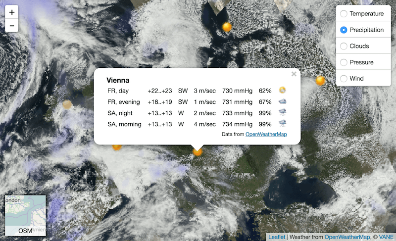
Introduction In this post we are going to look at how to get weather forecast…
April 25, 2016
April 12, 2016
I am more the offline data user but when it comes to the question “Where…
April 12, 2016
April 1, 2016
SAR images can see through clouds and in darkness, and are therefore very useful for…
April 1, 2016
March 10, 2016
Sometimes I have something to tell, but also need to realize that it is not…
March 10, 2016
March 3, 2016
Data Lakes has become a popular term in the Big Data community. It’s used to…
March 3, 2016
March 3, 2016
We have seen some easy ways to create webmaps without learning JavaScript or loosing sort…
March 3, 2016
February 28, 2016
Sentinel is the buzzword for a series of Earth observation missions like Sentinel-1 (Land and…
February 28, 2016
February 27, 2016
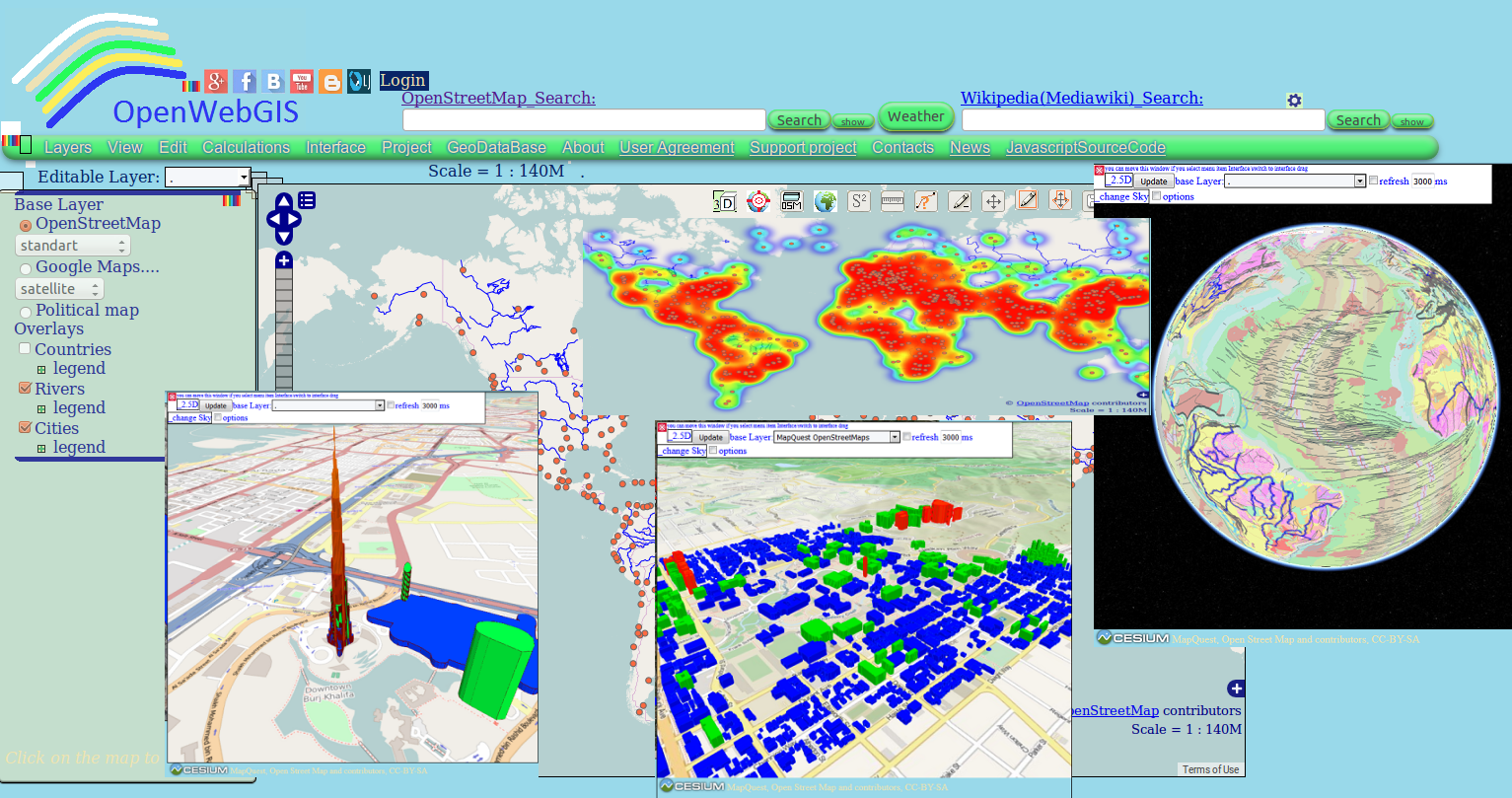
Perhaps you have already used in your work OpenWebGIS or just have seen it or…
February 27, 2016
February 24, 2016
February 24, 2016
February 21, 2016
In the last week I saw a post on the German ESRI page called GIS-IQ…
February 21, 2016
February 16, 2016
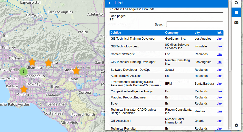
Since 3 years digital-geography.com provides a nice page for your job search in the fields…
February 16, 2016
February 10, 2016
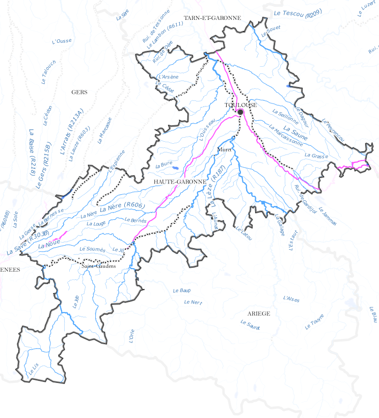
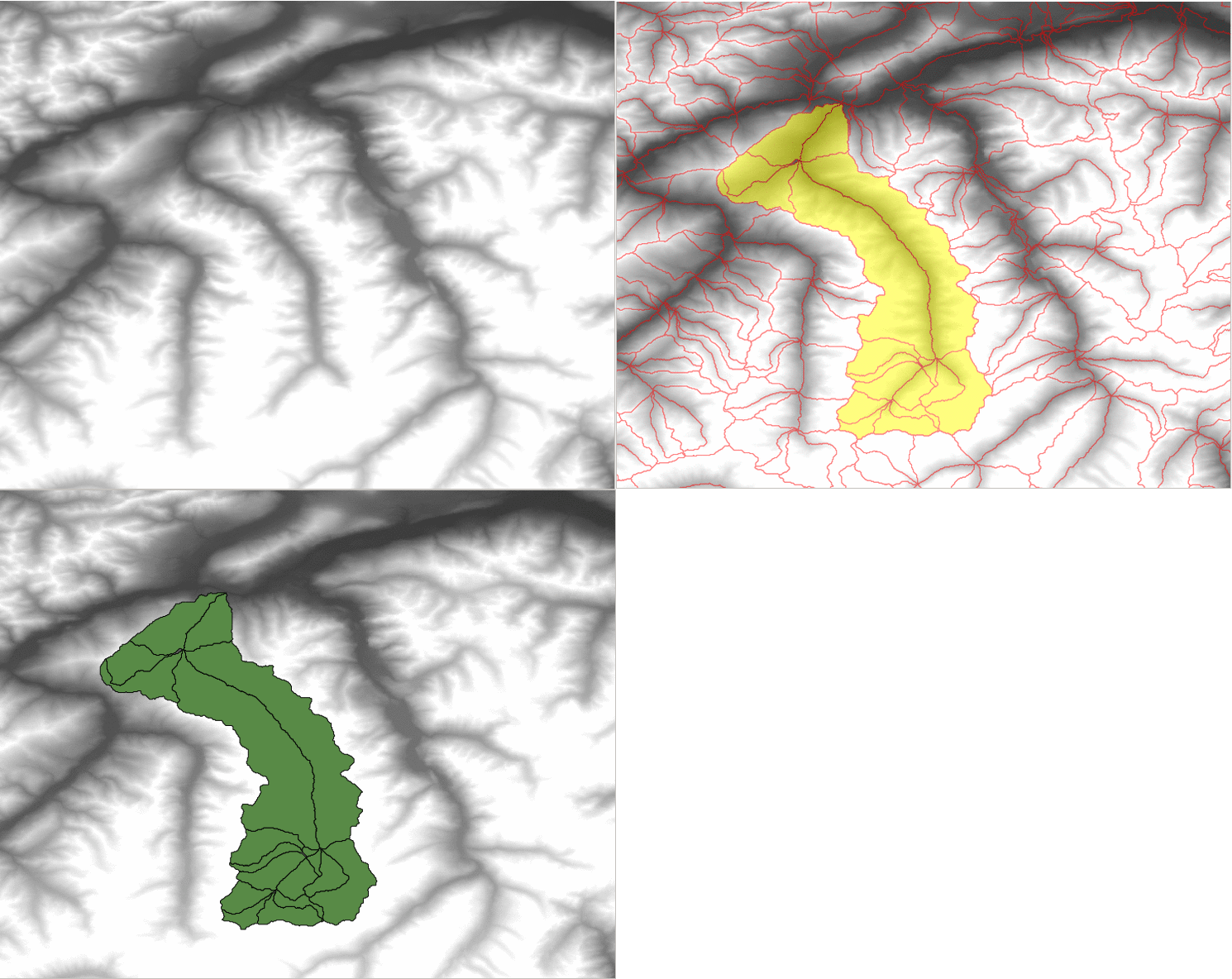
As the title sugests I am showing you, how to create beautiful watershed polygons. We…
February 10, 2016
January 6, 2016
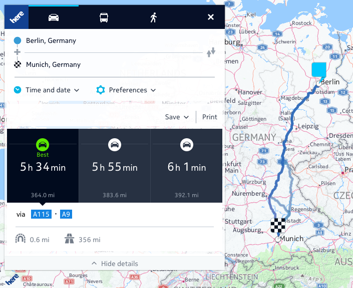
Navigating from a to b is really easy today. Once you have a power connector…
January 6, 2016
December 21, 2015
One of my favourite horror exercises for students was the digitization of geological maps. Everyone…
December 21, 2015
November 26, 2015
The goal of this post is to explain, based on practical examples from my professional…
November 26, 2015
November 22, 2015
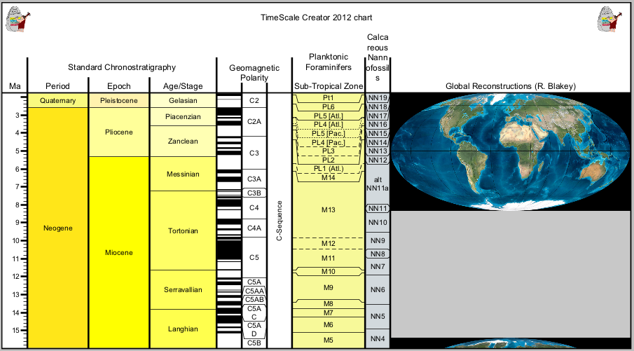
Recently I found a nice tool that generates stratigraphic tables (geology) for free. TimeScale Creator…
November 22, 2015
November 1, 2015
We are EGEAns and part of the European Geography Association for students and young Geographers…
November 1, 2015
October 31, 2015
5 reasons why I blog, and why shall you. About 4 years ago I started…
October 31, 2015
October 27, 2015
The geospatial media industry is really negligible. Some blogs here, some magazines there. Luckily their…
October 27, 2015
