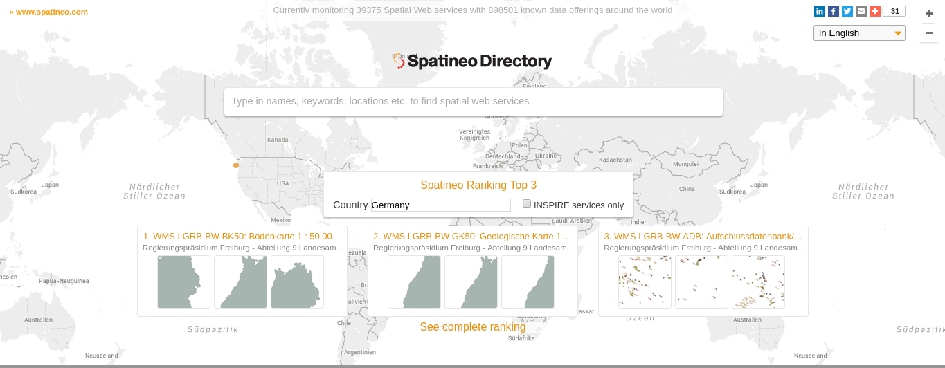
Spatineo
Spatineo is a Finnish company and theyoffer easy-to-use SaaS products for improving the use and usability of spatial web service technologies for both public and commercial uses.But probably one of the coolest things is their directory:
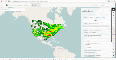
GeoNetwork
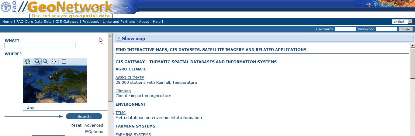
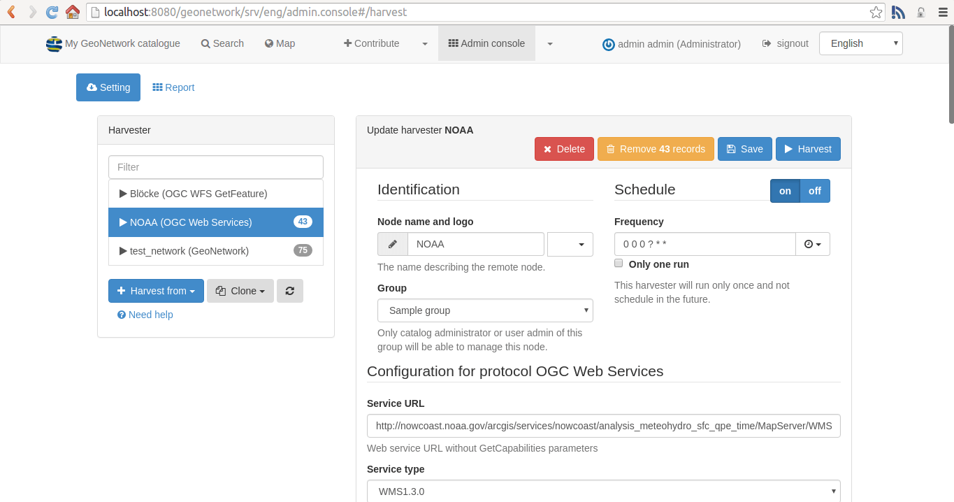
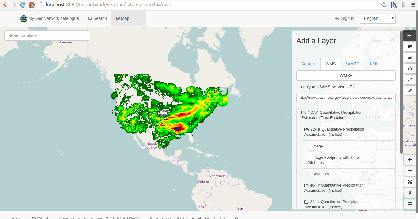
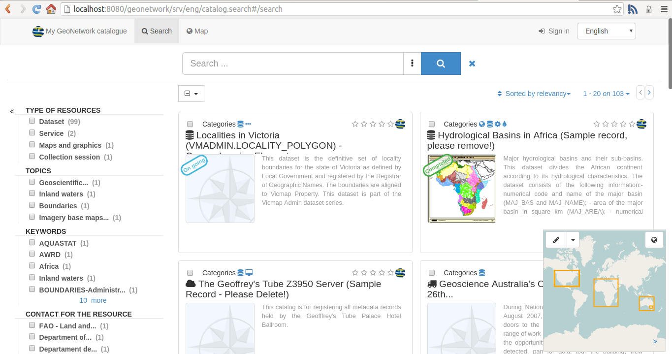
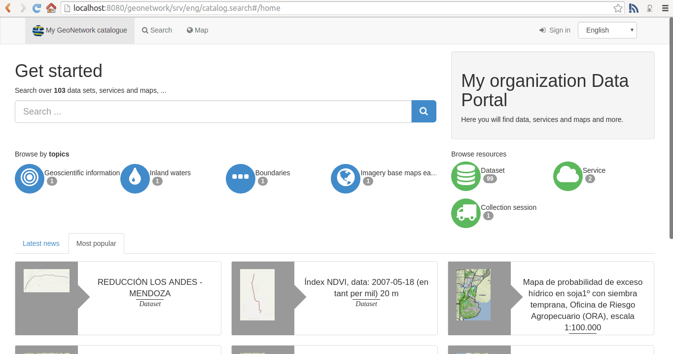
GeoNetwork is a catalog application to manage spatially referenced resources. It provides powerful metadata editing and search functions as well as an interactive web map viewer.Actually GeoNetwork is not a catalog but more a tool with a catalog inside. You need to download and install it (via GitHub, yeah!). As it is programmed in JAVA (make sure to use Maven for the line mvn clean install it will probably work on all major OS. Yet it is not a one-click installer and I had several issues installing it (make sure to have JDK installed and a lot of coffee available as about a trillion files will be downloaded and the whole process took me two days!…).
Once it was installed you can use the application not only to search and discover WFS/WMS but also to manage those services by adding your own services, use keywords and harvest meta data.
Harvesting is the process of ingesting metadata from remote sources and storing it locally in the catalog for fast searching. It is a scheduled process, so local copy and remote metadata are kept aligned.The whole application is for advanced users only but there are some tutorials on it. Still, this looks like the one fits all solutions as you can create an own catalog very easily. The search is only effective if you have imported own lists/xml files of WFS/WMS servers or you harvested from other systems.
GeoClub
Geoclub or as it is named “WFS Geodata Catalog” is a project of Thomas Mönkemeier (HU Berlin). He created an exhaustive catalog of WFS. Unfortunately it not showed any results for my keyword but it is probably concentrated on German WF Services as the local government need to publish their data also in a readable format (WFS seem legit, right?).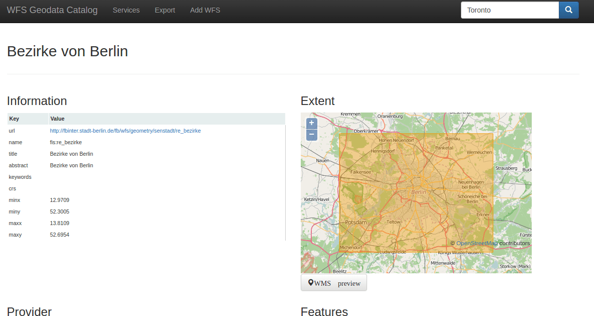
SkyLab list
The Skylab list is quite impressive yet the entries I’ve tested where not valid anymore and there is no search included. So a simple old list which needs an update. Feels bad man!data.gov
Okay, my search for Nigerian data on a US governmental page is quite useless but I would like to mention data.gov nevertheless. The catalog is searchable for WMS/WFS format and you will find more then 14.000 entries!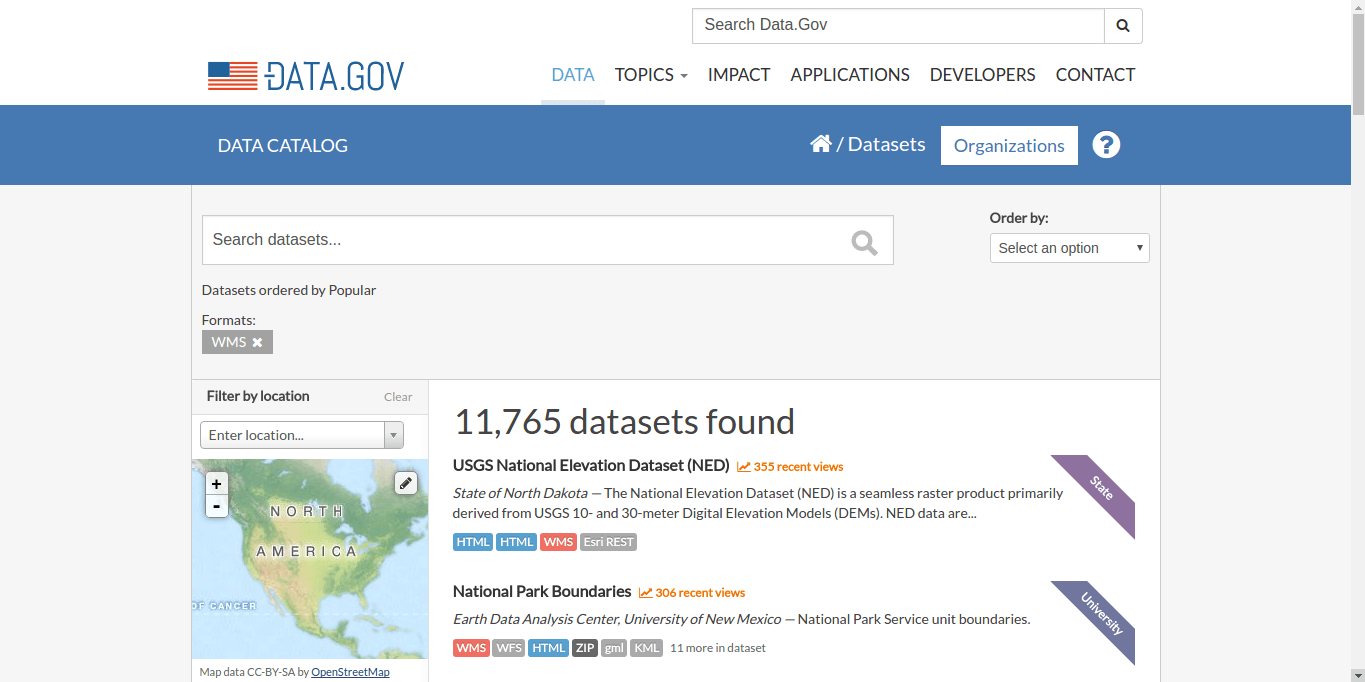
Inspire
Inspire is a big buzz word in the European spatial context. So it is just fair to mention this webpage as well. Make a stop and search for your stuff (Nigeria isn’t covered of course). Yet it seems strange that the tag cloud is quite Polish:
Geoportal
Also quite US based is this ESRI GeoPortal. No entries for “Nigeria” but there are simple search possibilities.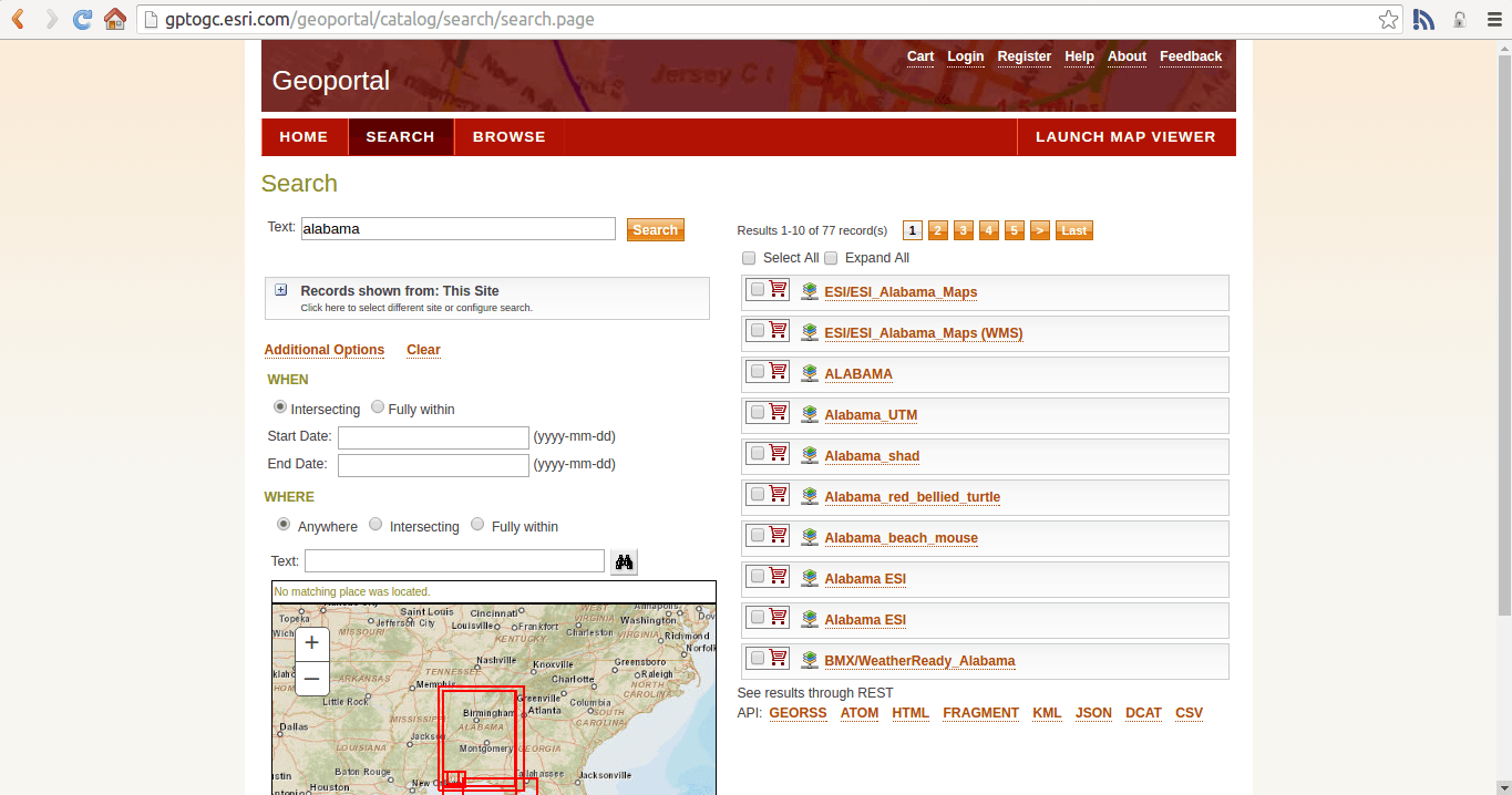
Pyxis Cralwer
I know, it should be spelled “Crawler” but hey, it’s not my GeoNetwork installation. The pyxis catalog contains more then 25000 datasets and responds with two results for “Nigeria”. You can copy the WMS and WFS directly to you GIS and import the layer. But the data richness is mind blowing.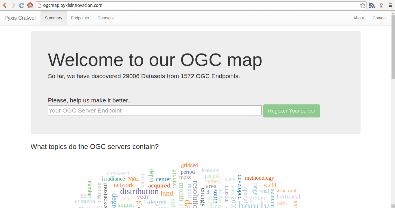
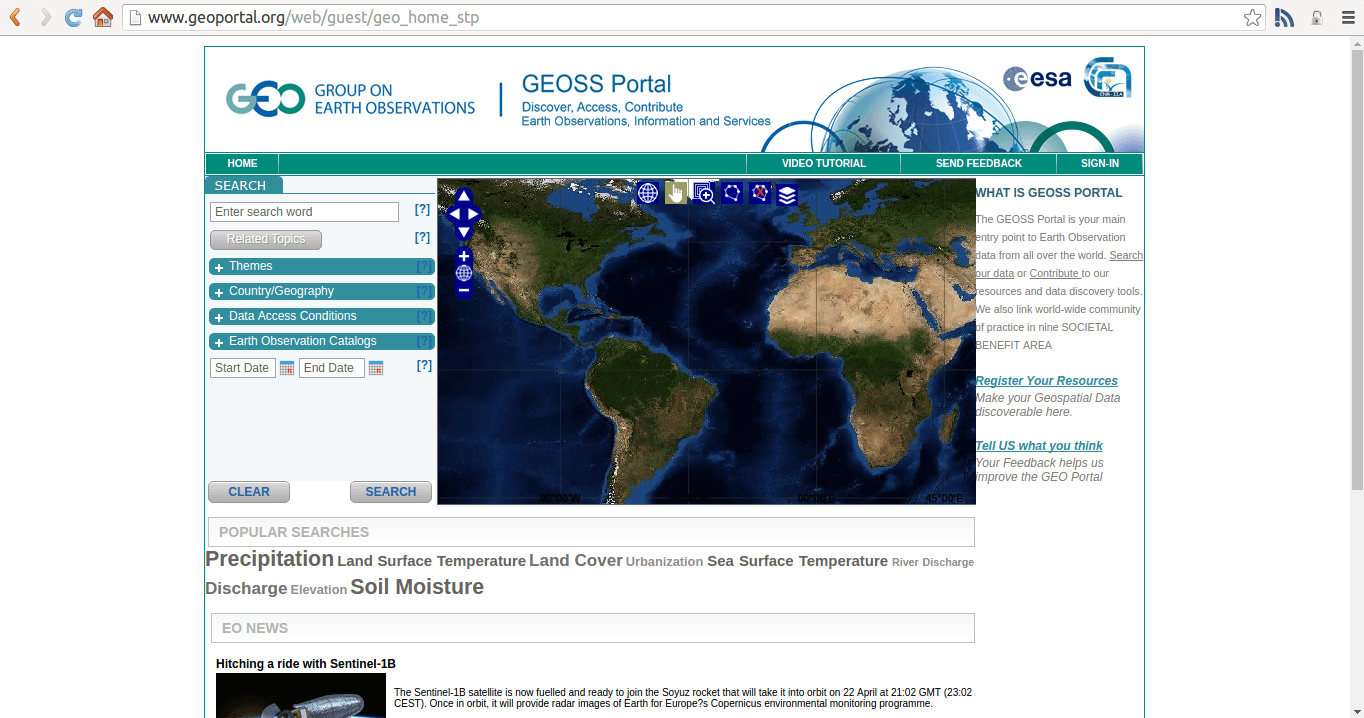
Geoportal.org
Geoportal.org is a service by the ESA. It has 1.300 entries tagged with WFS and 13.000 WMS entries. Yet no service for “Nigeria”. Yet you can find data for Nigeria by selecting it as country and run the search. The search function is easy to use but not as “cool” as seen on “data.gov”.