There are plenty of webmapping services out there. The best known might be mapbox, carto, arcgis online, google maps. But what they all share: they do not come for free… (at least if it is about heavy usage/hits/visitors/large data). But since many years static maps based on openlayers or leaflet created with qgis2web are out there.
With the ongoing development of qgis2web you can use a simple exporter for static maps based on your QGIS projects. This makes map creation so damn easy. So let’s check some web examples of leaflet and openlayers based webmaps created with qgis2web out in the wild.
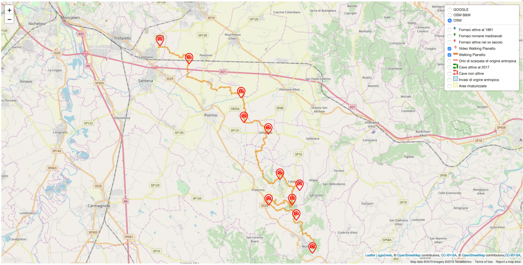
Munlab
Munlab highlights the heritage of Pianalto and the hills of Turin:
places, people and knowledge, past and contemporary.
Generate and strengthen relationships between inhabitants.
Focus attention on new lifestyles and consumption.
Therefore they are also using leaflet webmaps created with qgis2web:
Symbo
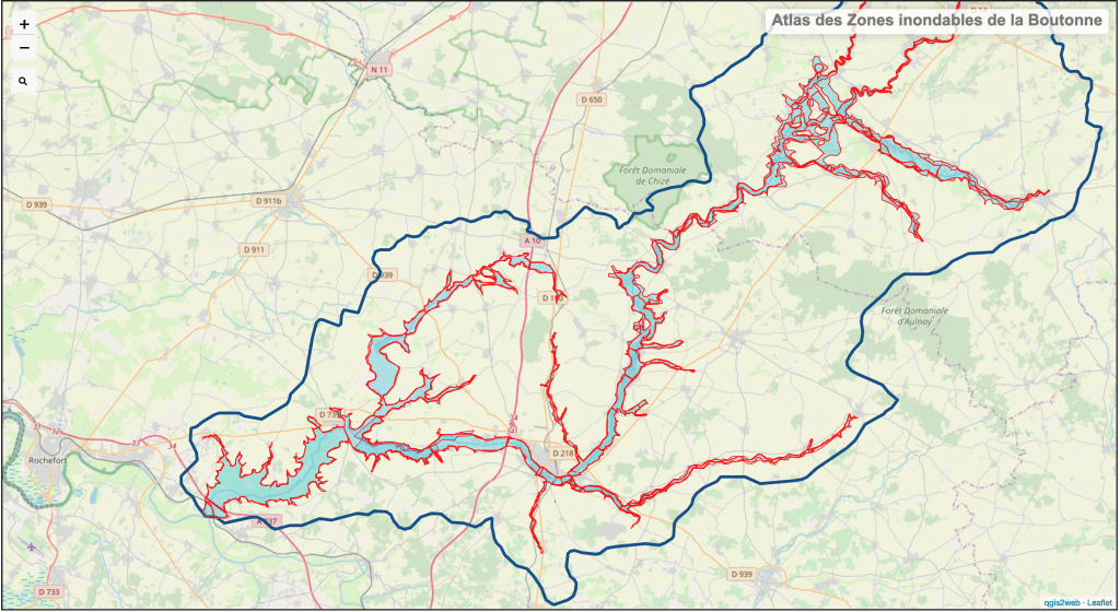
The Boutonne is a river in France. As part of the territorial reform laws a reorganization of local powers in the great water cycle was to take place on January 1, 2018. SYMBO became a joint union open to water management and development studies and works for the Boutonne region. The communication of geographical data is done by webmaps, also based on leaflet:
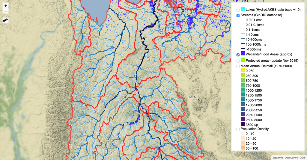
The Rivers Network
Confronted to the reality, each river basin, each watershed is specific in terms of geographical context and in terms of political, strategical, legal and institutional frameworks. But listening to what is happening elsewhere is essential. Riversnetwork.org aims therefore at sharing knowledge, raising awareness and bridging the river’s advocates. Sharing maps is one part of this. So Eric, the founder of riversnetwork, decided to use openlayers based webmaps (example) created with … qgis2web:
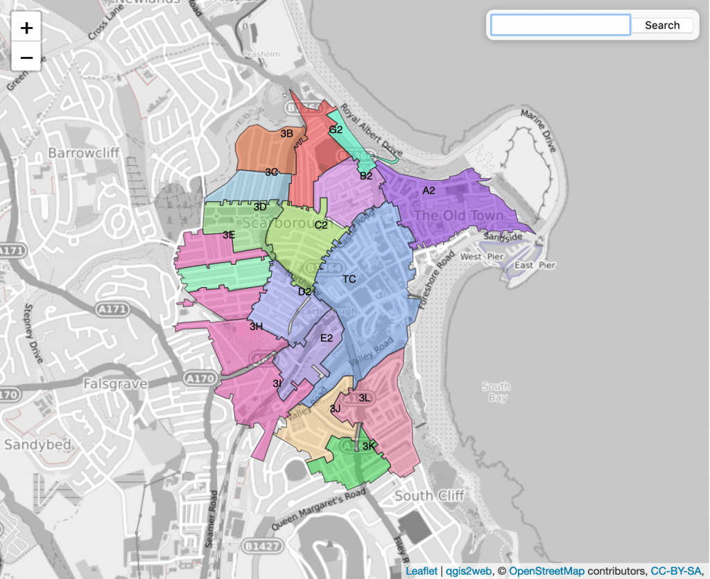
Scarborough
Scarborough, a scenic city at the coast of the North Sea in Yorkshire, England is using qgisweb to highlight some basic facts about their city:
- toilets
- parking spaces
- dog walking zones
- conservation areas
Simple maps do not need to be hosted on a big infrastructure so they use both, leaflet and openlayers based webmaps, to inform webpage visitors:
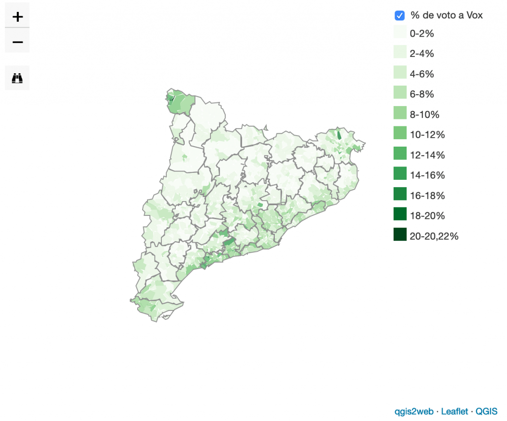
El Periodico
El Periodico is the second highest-circulated newspaper in Spain’s Catalan-speaking regions. And, like every good newspaper, they are using maps to communicate spatial data. Like this map about the November 2019 Spanish general election. Once again basic leaflet to fit the main purpose. Interestingly, this map is not using a basemap:
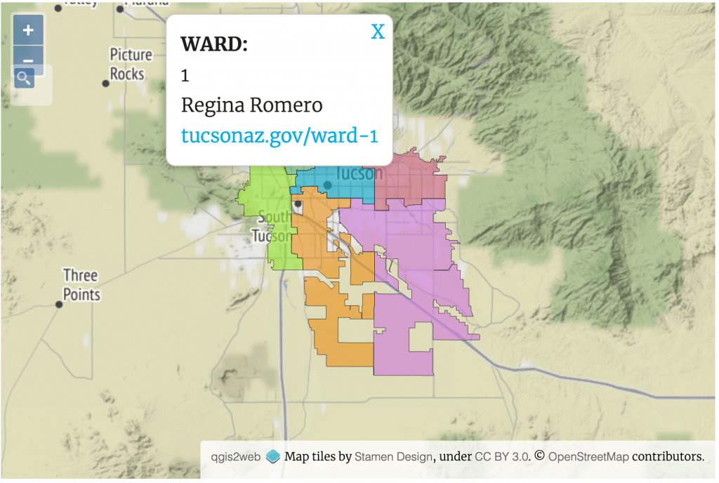
Arizona Public Media
This media organization was using qgis2web for a recent podcast/interview with local applicants as “Tucson’s Ward 1 City Council seat is up for grabs“. Most intersting to me: The city of Tucson is using an ArcGIS Web App to present their geographical data and therefore you could also use this dataset. Yet they decided to try out qgisweb and created a simple, openlayers based, webmap presenting all wards of Tucson:
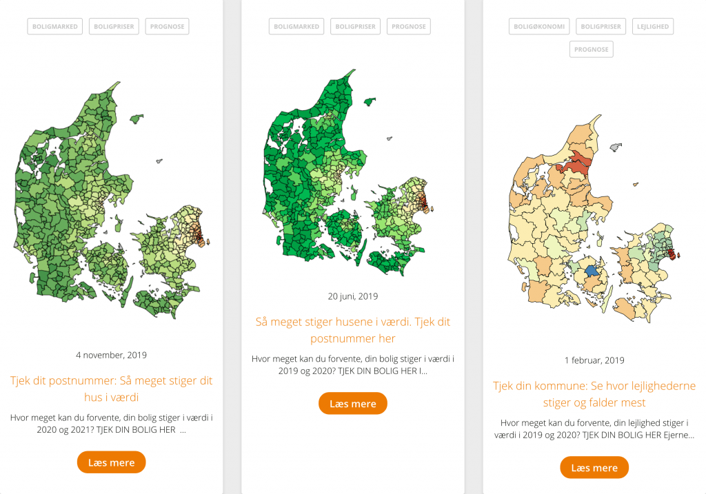
Bolighed
Bolighed is a danish website which offers buyers and sellers of homes a platform. They are using leaflet webmaps for their blog and articles.
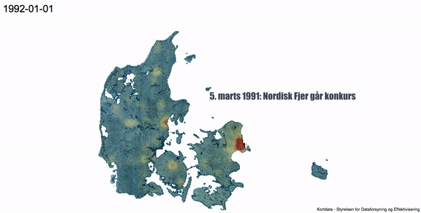
They even create some fancy time animations about the housing marekt of the past 25 years in Denmark. I would be surprised if this was created with something different then QGIS, Anita 😉:
Your turn
What is the best qgis2web based webmap, which you have seen out there in the wild? drop us a comment, please!
Oh, I just forgot to mention The Mercury News with this great webmap: https://extras.mercurynews.com/whoowns/stanfordmap/index.html#14/37.4134/-122.1600
Nice examples for a great plugin!
[…] https://digital-geography.com/qgis2web-in-the-wild/ […]
Hi Ricardo – I have used GIS for 20 years but am new to QGIS2web – I want to create a web archive of all my mapping projects – for some reason none of my shp files are displaying (on my pc or the web) although all the data files are uploading to the web. In one case the legend appeared but not the map – any suggestions