
Some ways to produce topographic swath profiles
For a geomorphological study that I am working on I want to produce topographic swath profiles across a mountain range, that is, I want the average elevation along…
I studied Geophysics in Leipzig and did my PhD in Aachen. I worked as a post-doc at the Institute for Neotectonics and Natural Hazards at RWTH Aachen University, Germany. Currently I am a research associate at the University of Cambridge, working in the EwF Project on active tectonics of Central Asia. My research interests are active faults, paleoseismology, ancient earthquakes, and tectonic geomorphology.

For a geomorphological study that I am working on I want to produce topographic swath profiles across a mountain range, that is, I want the average elevation along…
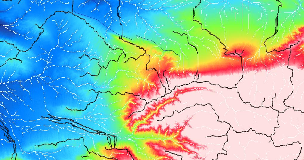
Many of us use digital elevation models (DEMs) for a whole bunch of different applications. There are some standard products which everyone should know, like SRTM1, SRTM3, ASTER,…
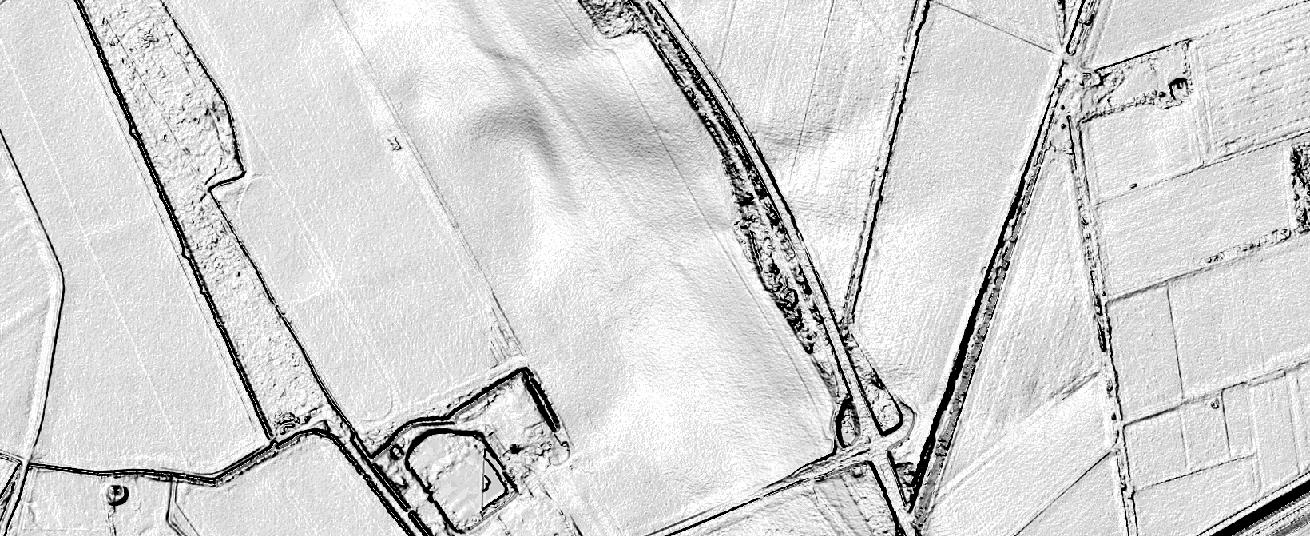
The Ordnance Survey is UK’s mapping agency and frequently releases free datasets. Their OpenData policy is quite progressive compared to Germany’s and they’ve recently published some fresh datasets…
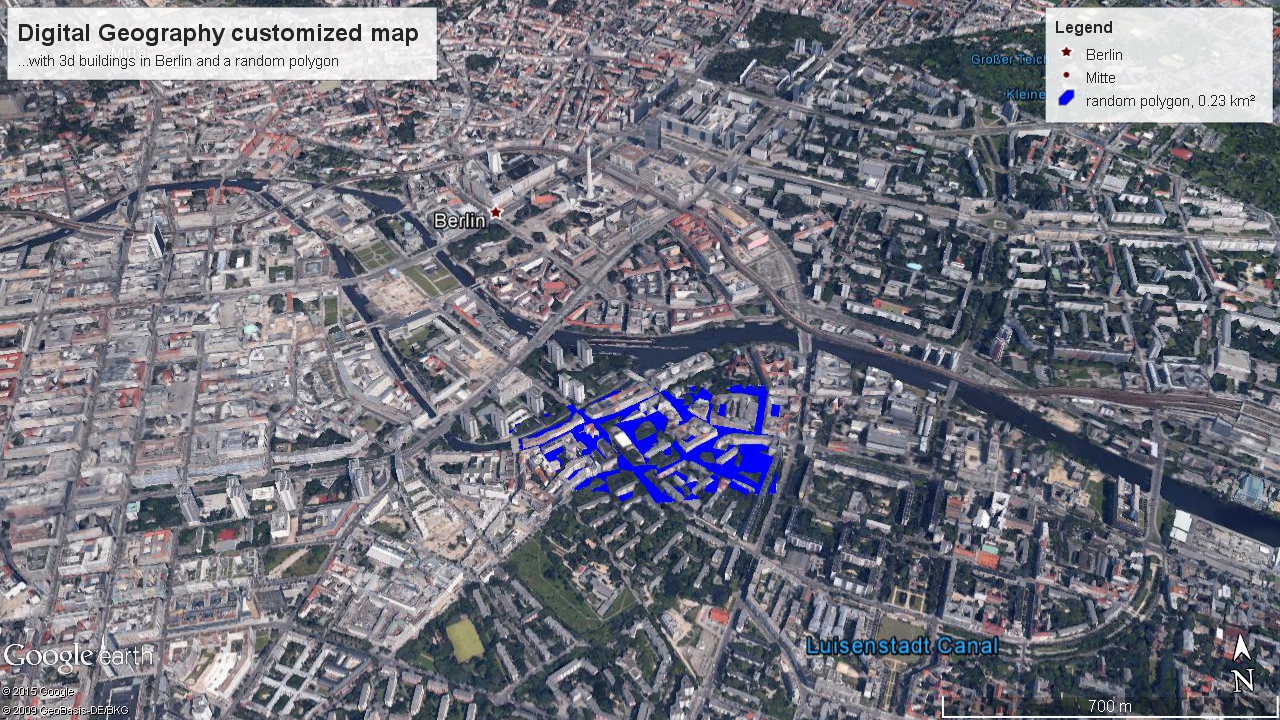
Google recently made an announcement that left me very happy: Google Earth Pro, the enhanced version of the world’s most popular digital globe, is now available for free.…

In contrast to magnitude, which describes the energy release of an earthquake, the intensity of a seismic event describes its effects. Obviously, the intensity value depends on the…

Peakfinder.org is a fascinating website. It’s not new, but I just came across it few days ago by a recommendation of @callanbentley. It appears very simple, very clever and…

At the EGU2014 in Vienna (27 April – 2 Mai, 2014) a session on Digital Landscapes (GM2.1) will be convened by J.K. Hillier, P. Tarolli and S. Conway.…

Sometimes you need to replace bits and bytes with dirt and soils, and today’s news are really pushing me to leave the desk and to go for a…
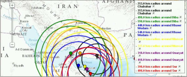
I looked for a program to draw circles of a pre-defined radius around some points on earth I had the coordinates from. A quick search returned the website…

A lot of articles here at Digital Geography deal with maps and projections. You may have wondered how wrong the different map projections are or let’s say, what…
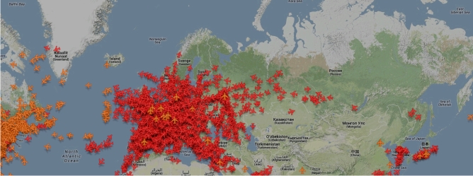
I have to admit that I don’t know since when the Zugradar (train radar) of the Deutsche Bahn (DB) is online, but I found it per accident and…
InSAR (Interferometric Synthetic Aperture Radar) is one of the greatest remote sensing tools for everyone interested in crustal movements. The principle is simple: A satellite equipped with a…