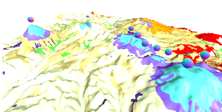
Geomodelr is the first web geological modeling platform. It helps you to model complex geological settings with simple operations. Additionally, It helps people to share and reuse geological models. Geomodelr was called mapalomalia. However, it has changed its name and it has many more things to offer.
What makes Geomodelr different, besides web geological modeling?
It’s methodology is called Always Solid Modeling. It’s a different way to model. For example, if you draw one cross section, you have a 3D model. If you want to improve it, you can draw other cross section. Don’t worry about connecting horizons.
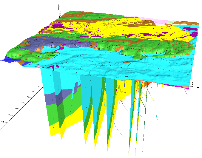
But it’s not only web geological modeling. Additionally, You can download the model to your PC. You can also query your model using Python. To do it, use Geomodelr Query Tool which is an open source library.
Geomodelr Query Tool also has an option to use it from the command line. It will help you if you don’t know how to program in Python.
How do I input information to the model?
Draw cross sections. However, you don’t need to draw them as an expert 3D CAD modeler. You need to draw them as a geologist. The editor doesn’t let you create incorrect cross sections. That is to say, all operations to edit always produce a solid geology. Consequently, the editor goes well with Always Solid.
You can use boreholes or dips. You can use the guide of the map. Similarly, you can use an interpreted cross section or geophysical images.
How do I Start?
Start with four video tutorials. These tutorials cover modeling Flin Flon Copper and Zinc mines. The geological setting has many formations, intrusions and an ore body. In brief, It’s considered a very hard to model geology.
First tutorial: Browse your Study and Setup your 3D Model

Second tutorial: Edit your Map and Cross Sections

Third tutorial: Visualize and Interpolate your Model

Fourth tutorial: Share and Use your Model

What’s new from last time in Geomodelr?
Several things have changed since last time we published in Digital Geography. For example, Geomodelr supports faults and graphs them. Similarly, Geomodelr can also plot boreholes from collar/survey/interval files. Additionally, it can set up a topography for you simply by selecting a region you want modeled. Finally, it now supports private and secure studies.
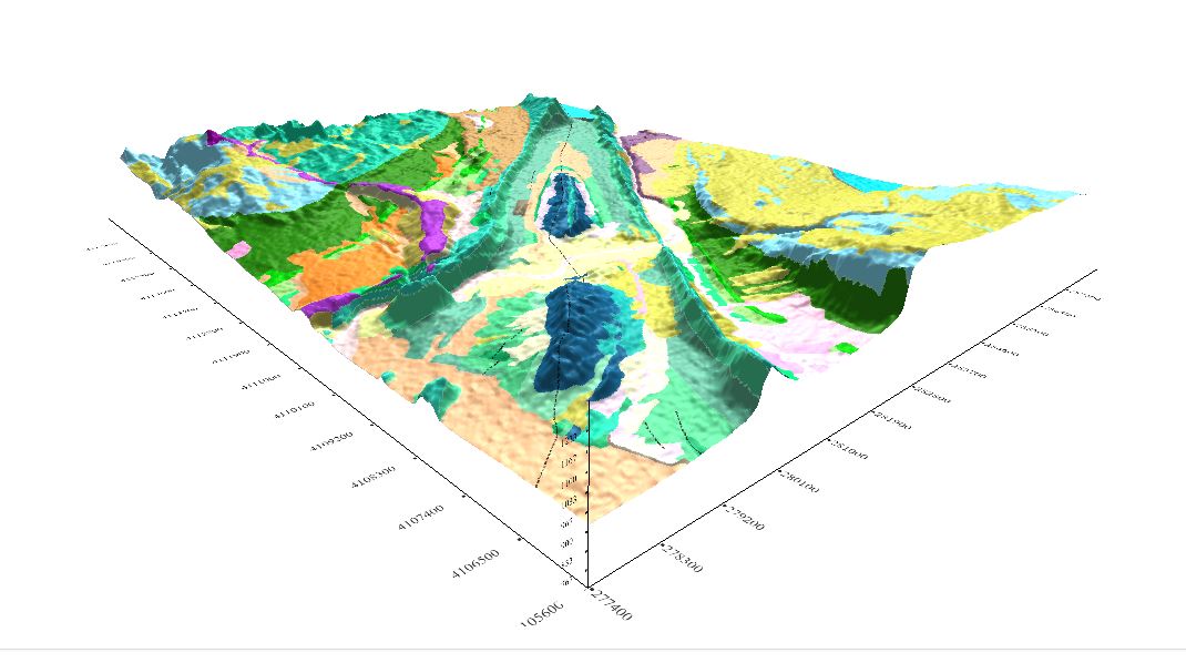
We will start a series of webinars to help people to take advantage of Geomodelr. First, we will model Virgin Anticline in Utah, USA.

nice post Ricardo, regards
Thank you 3dbu, at your service.