Bounding boxes are crucial for a lot of geospatial projects: wether you need to limit the extent of your web mapping application or need to cut your research data to the area of interest, bounding boxes are used everywhere. Here is a nice little tool from Klokantech that helps you generating bounding boxes in a variety of formats in your browser, without even opening your desktop GIS.
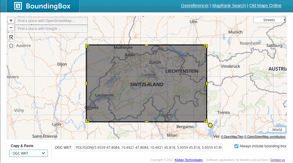
I am pretty sure you know the pain: You just want to use a bounding box for your project, but you are struggling to read the coordinates from the map, maybe because of coordinate conversion, or maybe because you need it in an exotic format where you dont know the syntax or how to order coordinates. I found myself in this situation a dozen times and although I know my way around GIS and creating bounding boxes by hand, I am happy to have found this little helper.
http://boundingbox.klokantech.com/
Features:
- create rectangular and polygon bounding boxes
- rotate rectangular bounding boxes
- choose from different basemap providers
- Google and Openstreetmap Place Search
- 16 different bounding box formats (MARC, Archives, Dublin Core, KML, GeoJSON, OGC WKT, CSV, CSV Raw, TSV, ISO 19139, FGDC)