The first day of the Intergeo 2016 and it was just mind blowing. The last years we saw a small increase in drone technology companies but especially here in Hamburg they seem to be everywhere. So there is the business rolling. About 500 exhibitors are here showing their latest products and services. At least 130 of them are into drone technology. The hottest shit is most likely the drone based laser scanning systems. So drones are getting more powerful, we see more and more fixed wing systems and the 3D laser scanners are getting smaller and smaller every year.
I was also surprised not to see Mapbox and neither Carto (fka CartoDB) here on the trade fair but I think the fair itself is a bit to concentrated on Geodesy and engineering solutions so it would not be a good investment for those companies to show up here.
We are streaming live tomorrow from the Intergeo via Facebook so you will have the possibility to get an insight.
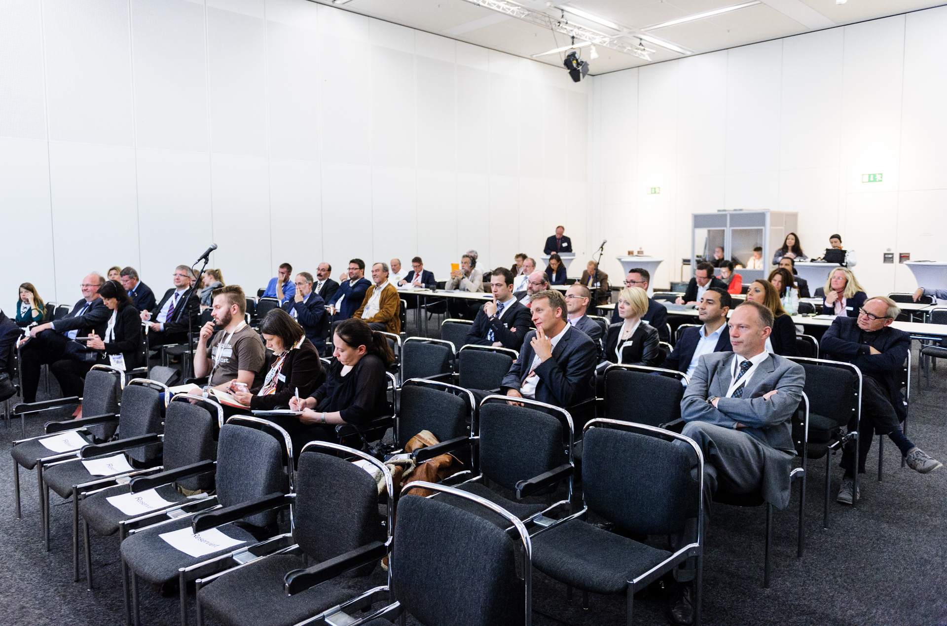
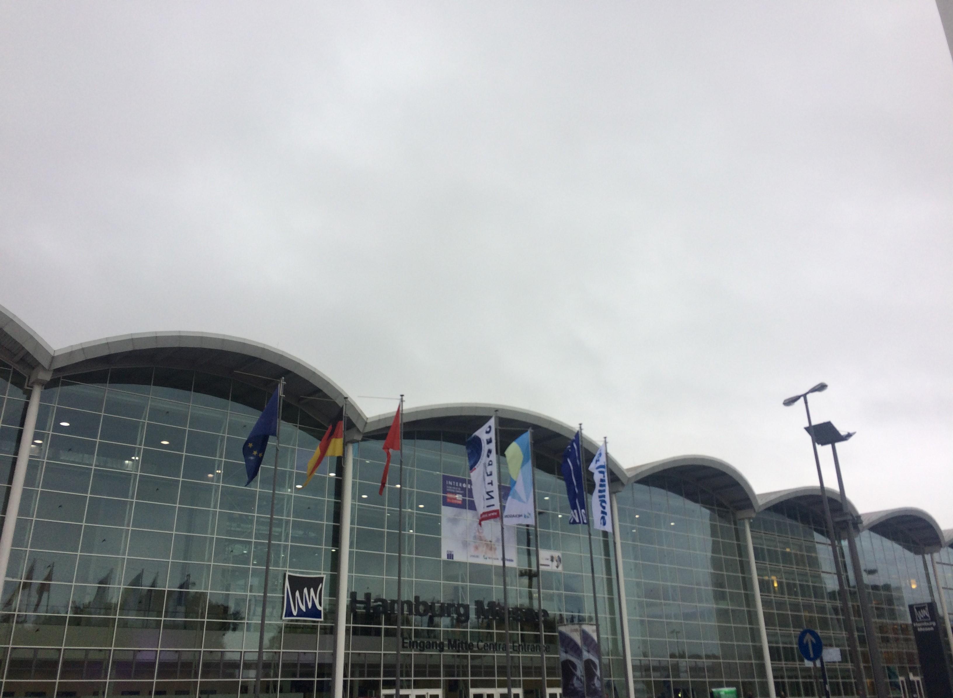
Also check some photos on our little gallery.
Tomorrow there will be the press conference and we will get some thoughts about the most important aspects of geodesy and geodata in the next years which will most likely be BIM, smart cities (thank you ESRI 😉 and also the Internet of things.
Be prepared: “big data” is so 2014! We are dealing now with smart data or to put it into a quote: “Big data is shit data!” Maybe we will get some insight on what does smart data means here at the Intergeo 2016.
So stay tuned.