ArcGIS Online is a complete, cloud-based mapping platform. Make and share beautiful maps, and do everything in between. It’s possible only with ArcGIS Online, a scalable and secure software-as-a-service hosted by Esri.
But as there is nothing for free in this world the usage of ArcGIS online with all capabilities (batch geocoding, hosted feature services, app creation, etc…) will cost some money, aka credits, as well. If you use the developer program of Esri you can use almost everything from AGOL as you will receive 50 credits for free every month! So what are the most basic steps you can do with those credits?
AGOL? Let’s get things started
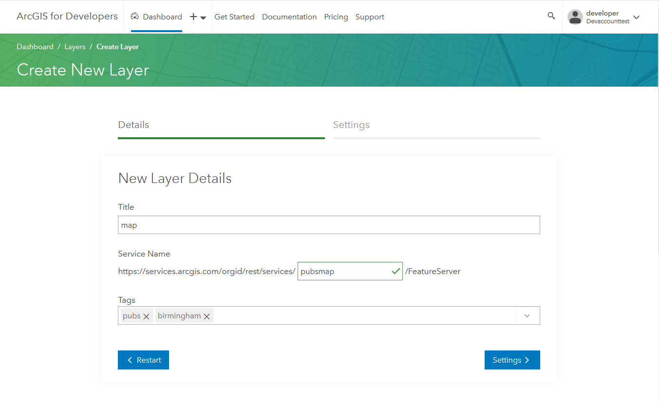
Once you are logged in/registered, you can create layers as well as apps:
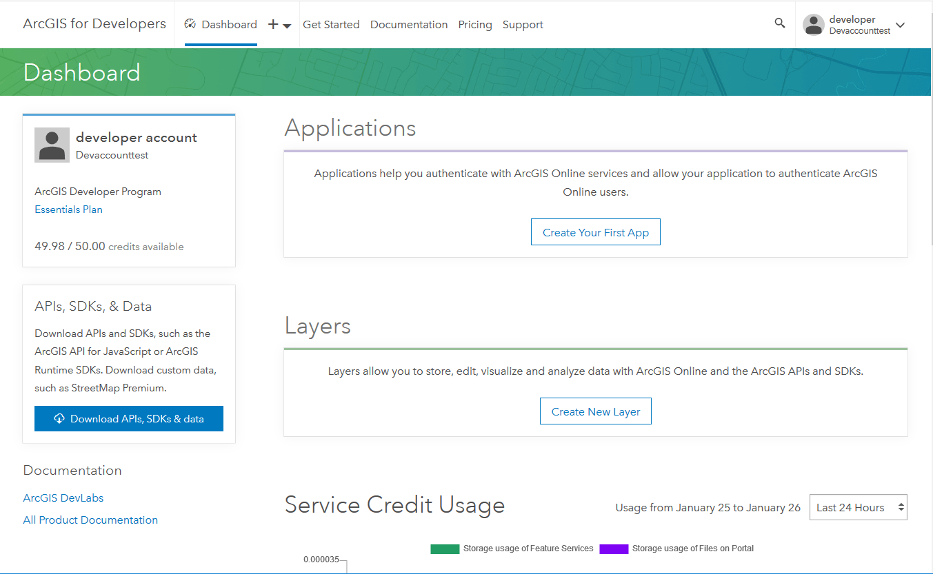
AGOL splash screen for the developer account
So we will start wih a layer as this is the heart of an app in the end. The storage of a feature service aka “New Layer” allows you to perform certain tasks in AGOL:
add/edit/remove features (like new points, polygons, lines)
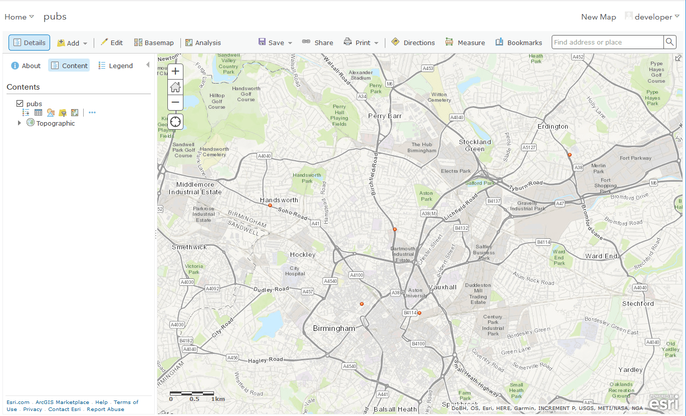
But as I am a lazy guy I will start with a sample geojson I had on my pc already: list of pubs in Birmingham.
Once uploaded, I chose the layer to be editable and visible to the public:
The pub-layer in AGOL (uploaded)
Once I uploaded it, I was able to edit the data directly in the browser with no additional offline program:
Once you’ve done your edits:
Create your map in AGOL
AGOL enables you to create maps with your layers. In the next step I will create a “age map” which shows the building construction dates. Therefore I am opening the layer in a map viewer:
Once this is done I will change the symbology:
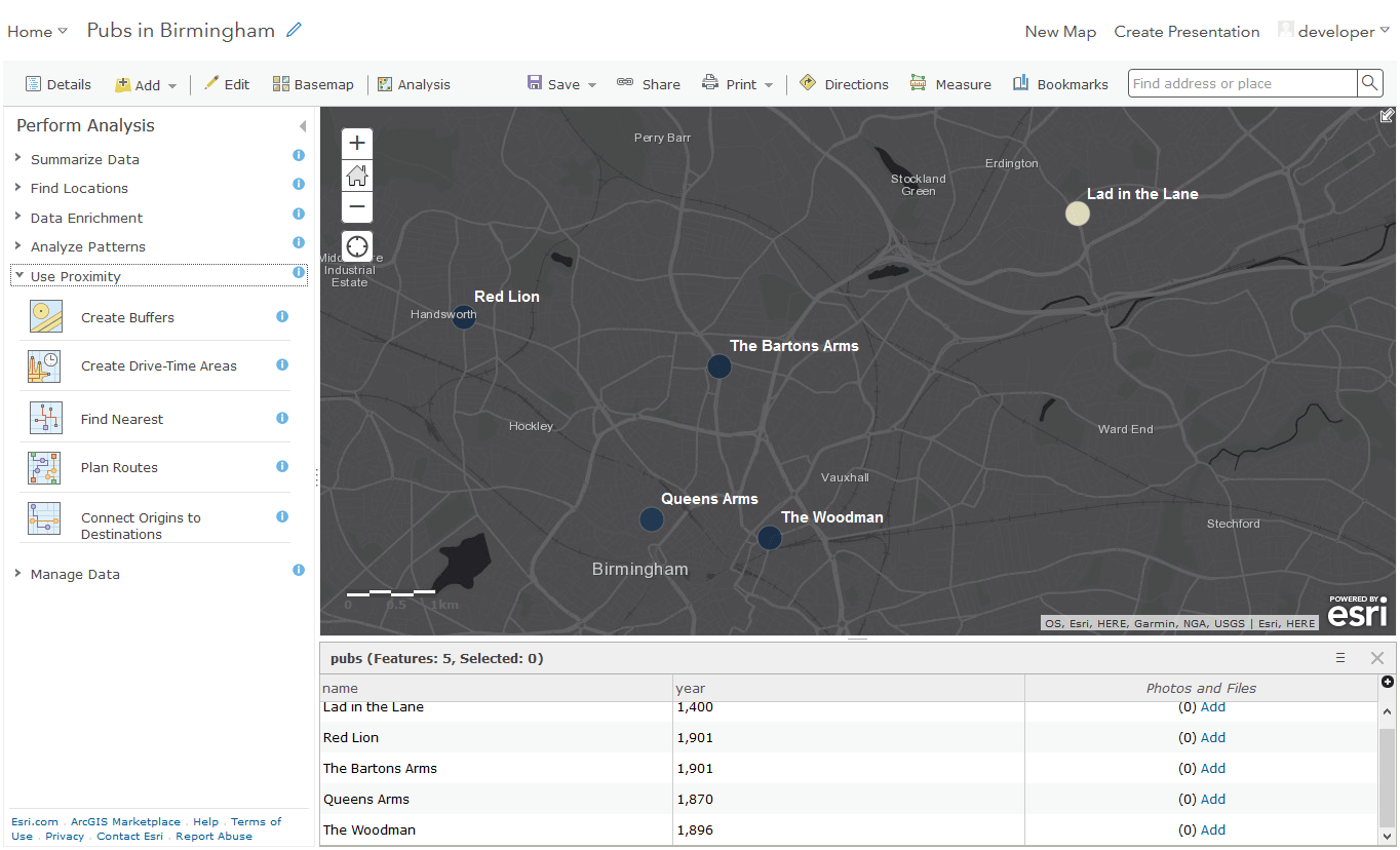
You’re also able to perform certain analysis on AGOL with the analysis tab:
analysis tab with proximity tasks in AGOL
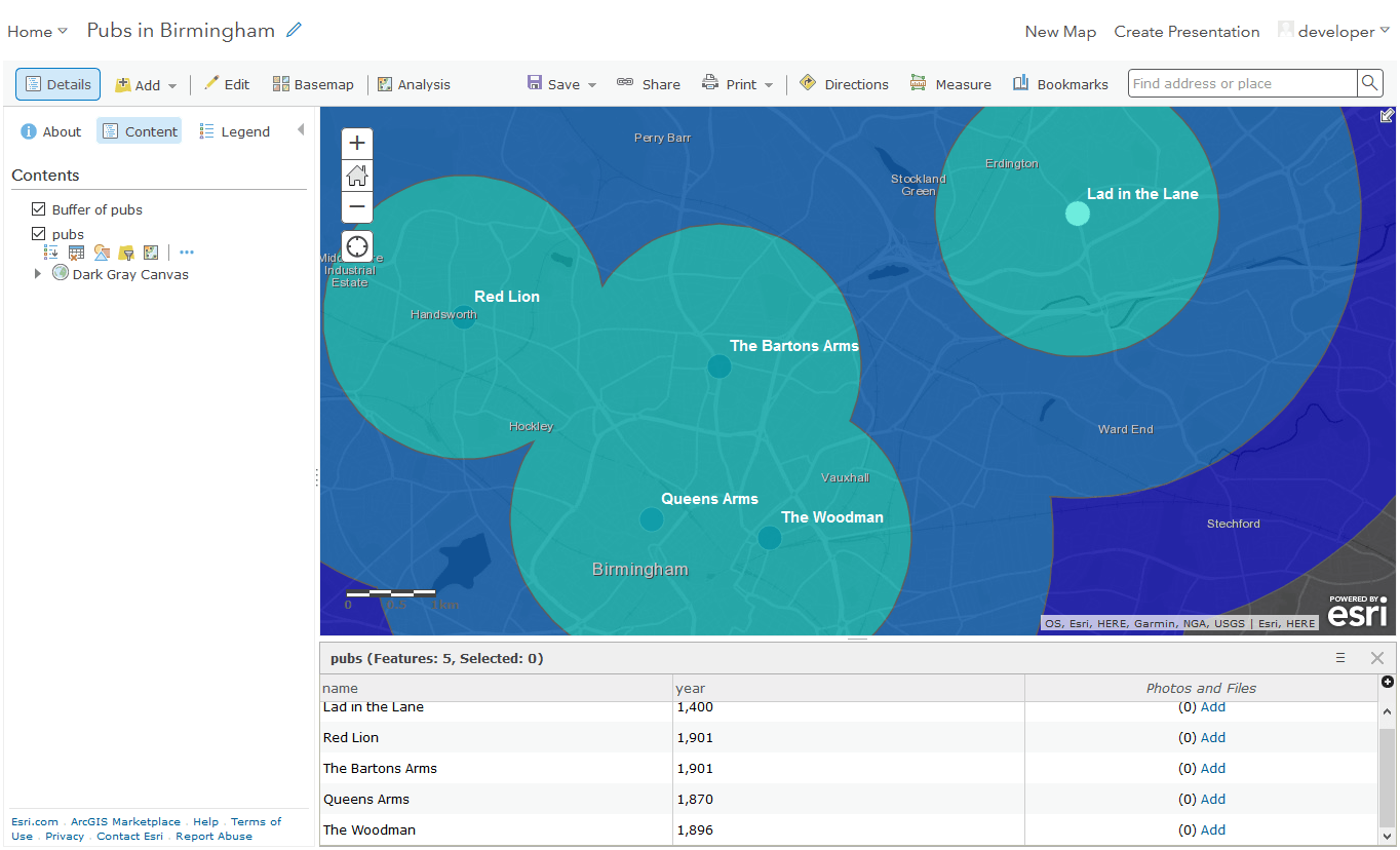
The short analysis using the buffer tool with 5 points and 3 buffer zones cost about 0.005 credits. You can save the results in a new layer without a problem.
buffers around the pubs with one to three miles.
We need an App for that
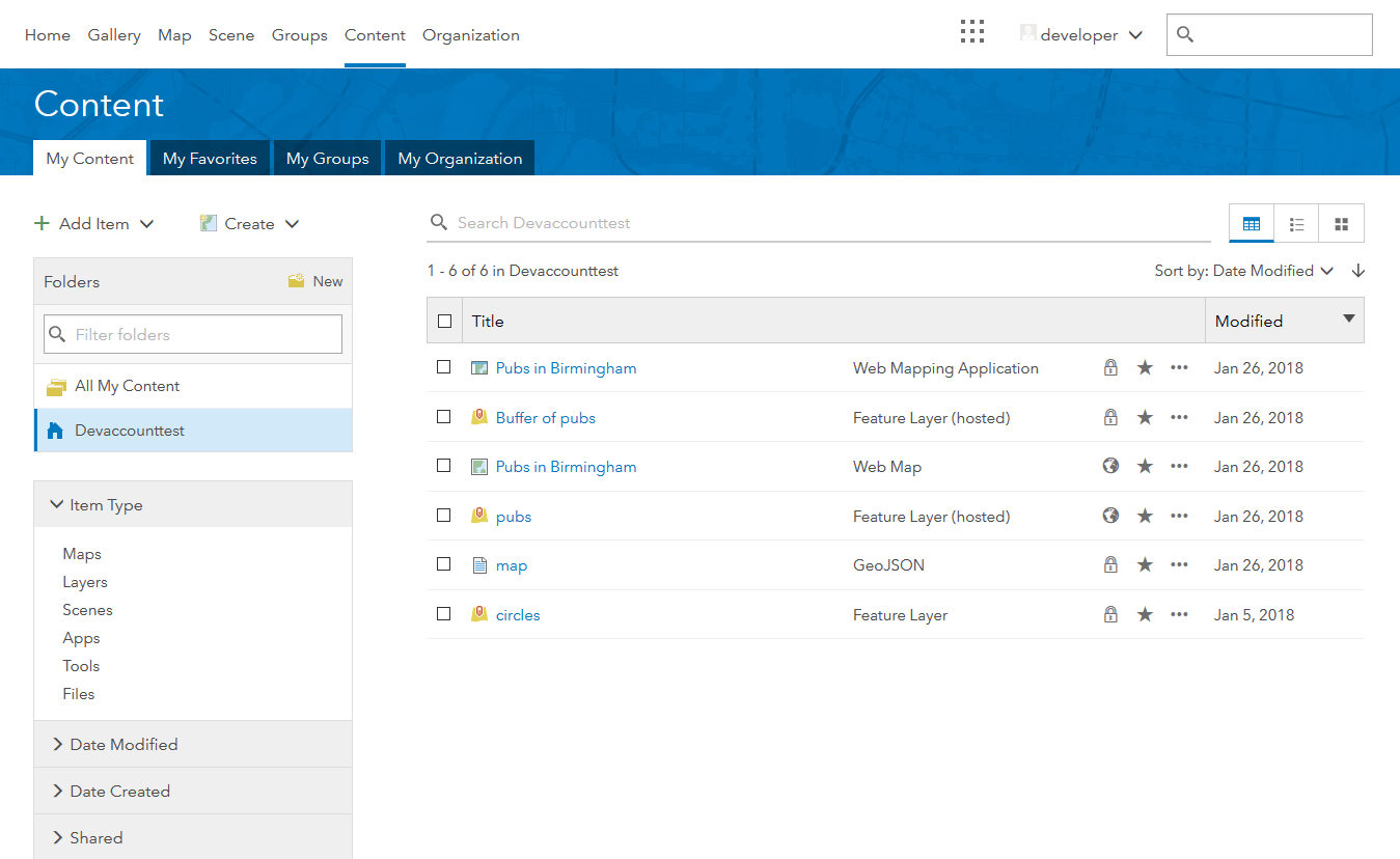
I do have this nice map now but I would like to let others also create some features aka pubs in Birmingham. Therefore I need to make the map as well as the layer of pubs public. This can be done in the “content section” of AGOL: The content section of AGOL
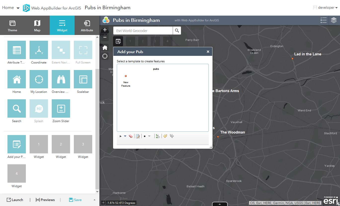
I simply choose the Web Map and select “Create Web App”. In the next editor I add a widget called “Edit” which allows users of the app to create and edit the feature table of pubs: edit features in an app in a browser
The locate widget is already added by default in my app so the user of the app can locate himself on the map easily. But to find the nearest pub I added also the “Near Me” widget to find the closest facility and provide me a proper route to the pub. The Web Mapping Application needs to be shared with the public but this is no struggle at all. You can even download the application and host it on your own https-server or let it be accessed with the real link on AGOL.
This week it is all about topology, proximity and combining logical and spatial queries at ESRI’s MOOC. Furthermore you will get to know path analysis and what are…
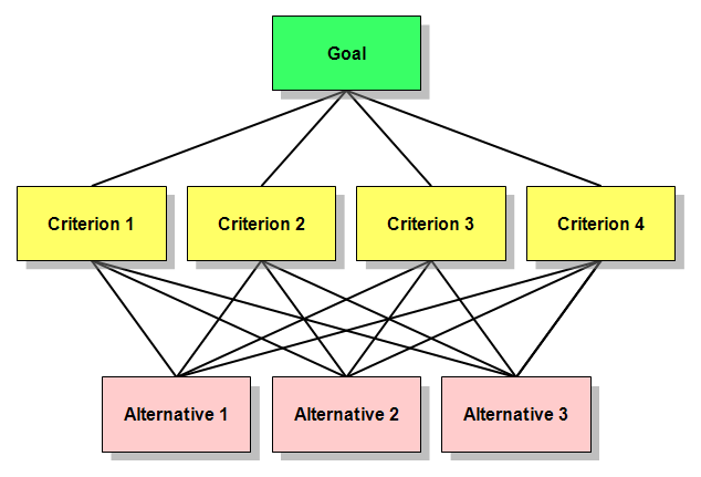
When it comes to site selection problems or suitability models, the spatial Multi-Criteria Analysis (Weighted Overlay) is the most commonly used method. It’s easy, simple and popular. However,…
 Once this is done I will change the symbology:
You’re also able to perform certain analysis on AGOL with the analysis tab:
Once this is done I will change the symbology:
You’re also able to perform certain analysis on AGOL with the analysis tab: