OSM Tools Plugin
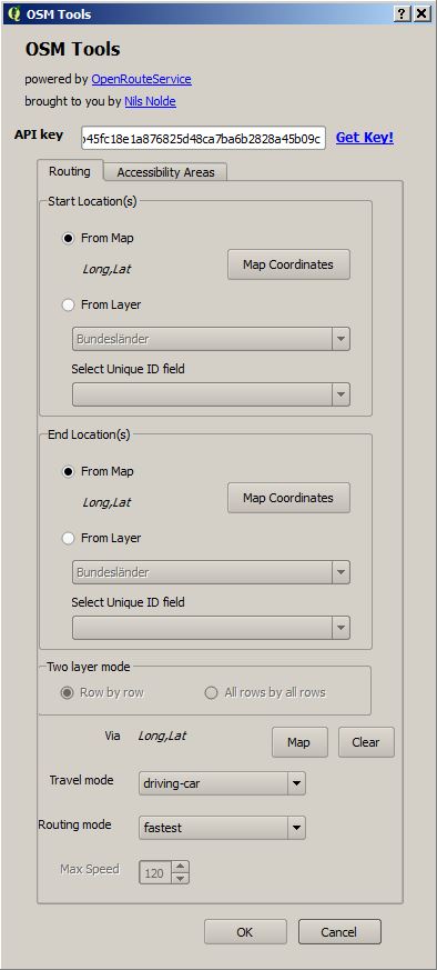
The plugin can be installed as a normal plugin via the plugin manager: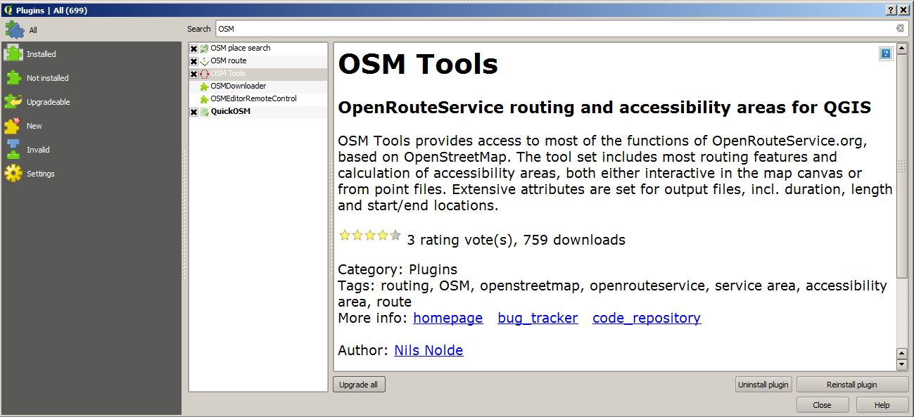
- 500 free requests per day in total
- 40 requests per minute
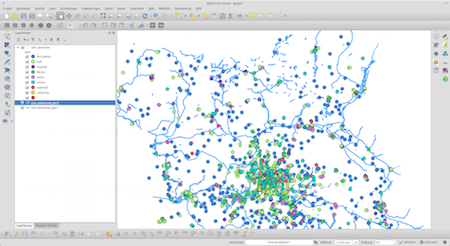
I often find myself in a situation where I want to work with large areas and datasets of OpenStreetMap data. No matter if you want to use them…
Vintage Design in QGIS 2.2 Hello again! Thanks for taking a look at this post on how to create a Vintage Themed Maps in QGIS 2.2. Now for…

3D is soooo cool… Okay let’s be honest: the exciting times of Second Life are gone and the Oculus Rift is still not in sight in the end-user…
Are there any plans to enable this to work in the UK. I saw this and added it to my copy of QGIS as it would be a fantastic addition, but when I tried it, it wouldn’t work
Works great in the UK:
Ill give it another try, I downloaded it a few weeks ago
Use osm tools! Not osmroute!
Thank you for intrucing this very useful tool. When trying the tab accessibility areas, I always get an error with the conduction in the python script. Does anyone has an idea how to solve it? Thanks in advance. 2017-05-22T10:07:28 1 Traceback (most recent call last): File “C:/Users/User/.qgis2/python/pluginsOSMtoolsosm_tools.py”, line 234, in run self.route_anal.route() File “C:/Users/User/.qgis2/python/pluginsOSMtoolsosm_tools_routing.py”, line 250, in route point_list = [float(x) for x in end_features[0].split(“,”)] ValueError: could not convert string to float: Long 2017-05-22T10:08:06 1 Traceback (most recent call last): File “C:/Users/User/.qgis2/python/pluginsOSMtoolsosm_tools.py”, line 231, in run self.access_anal.iterAnalysis() File “C:/Users/User/.qgis2/python/pluginsOSMtoolsosm_tools_access.py”, line 286, in iterAnalysis feat_list, isochrone_list = self.accRequest(feat_in.geometry()) TypeError: ‘NoneType’ object… Read more »
Hi Gisacka,
as Riccardo wrote, please post issues here:
https://github.com/nilsnolde/ORStools/issues
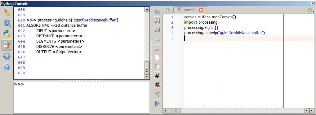
Please include the URL used (w/o key). You can get it via the Python console in QGIS, it´ll print the URL when making a request.
I have a problem for accessibility areas distances when I use the use layers function. There is a python error each time.
File “C:PROGRA~1QGIS2~1.16appsPython27libjsondecoder.py”, line 383, in raw_decode raise ValueError(“No JSON object could be decoded”) ValueError: No JSON object could be decoded
The time function works very well. What does this come from?