In the last week I saw a post on the German ESRI page called GIS-IQ which featured a new widget for ArcGIS which needs you to have the “ArcGIS Web AppBuilder Developer Edition 1.2”. This widget lets you fetch images from flickr and probably show it on the map. I haven’t tried it yet but I thought: lets build something similar for QGIS… so here is my flickr API plugin for QGIS
The Beta of flickr2QGIS
So let’s get it straight: It’s far from perfect. But see for yourself:
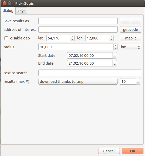
There are plenty of issues at the moment and it most likely won’t work on 80% of your machines… But: it downloads images for keywords and regions/places, has a geocoder embedded and let’s you download found images right away.
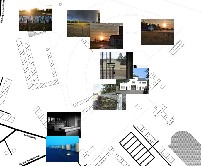
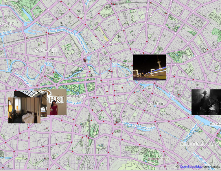
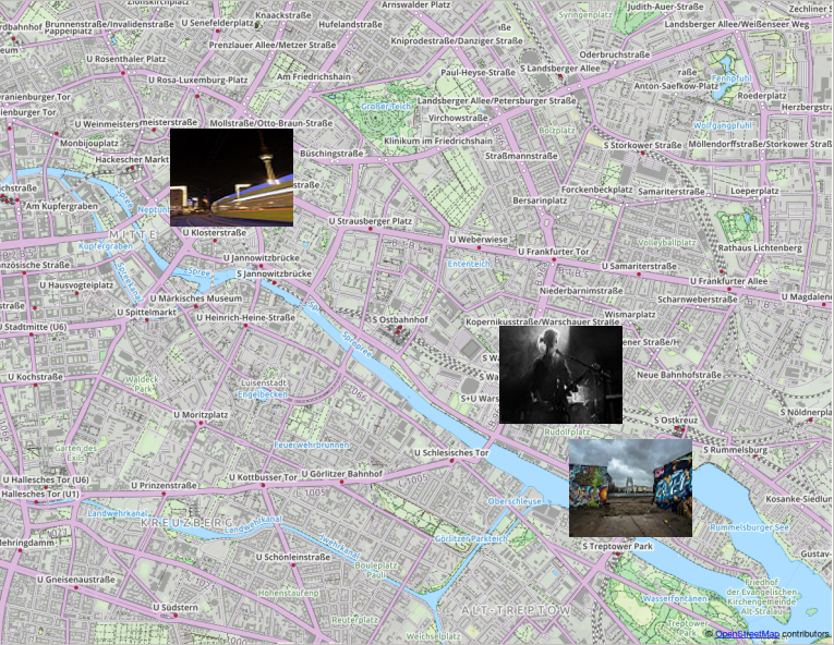
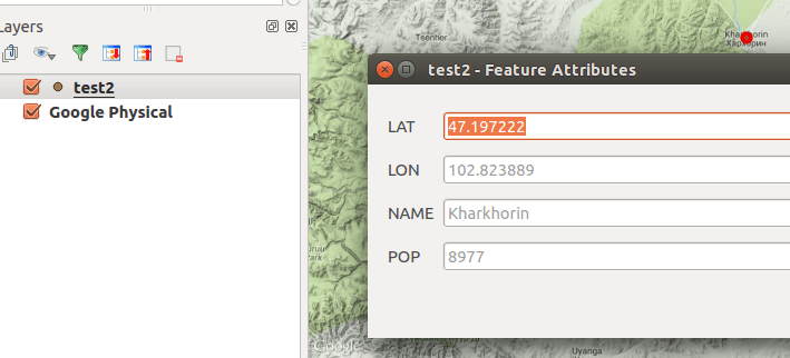
Images taken in Berlin as fetched with flickr2qgisImages tagged with the keyword Berlin
Prerequisites
At the moment the plugin requires you to install the Python Flickr API called flickrapi and to get a flickr API key. The latter one is probably the simplest as you just need to register at the Flickr page and copy the keys into the plugin (tab “keys”).
flickr2qgis plugin for QGIS
The plugin was build on the latest QGIS version 2.13.1 so there might be issues with older QGIS versions that I am not aware of. Furthermore there was no testing at this stage with Windows versions…
Known Issues
At the moment the implementation shows images after processing which might lead to an unresponsive qgis for quite a moment. Additionally all images are now shown as a categorized layer which is cartographic nonsense but I wasn’t able to implement the function proposed here by Nathan. And I just fought with symbols in QGIS the python way…! I won the fight but the war is not over yet. I also would like to mention two ressources which helped me a lot:
Today I wanted to hack together a standalone script using PyQGIS, the QGIS Python bindings, to write a small prototype. I hadn’t written such a standalone script yet,…
You probably already referenced maps with written coordinates but using photos or images is a little different as you need some characteristic points so you can control the…
Python is a well established script language in the GIS/geodata world. And as a Facebook friend asked how to read csvs with Python I thought about “How to…