Tag: webmapping

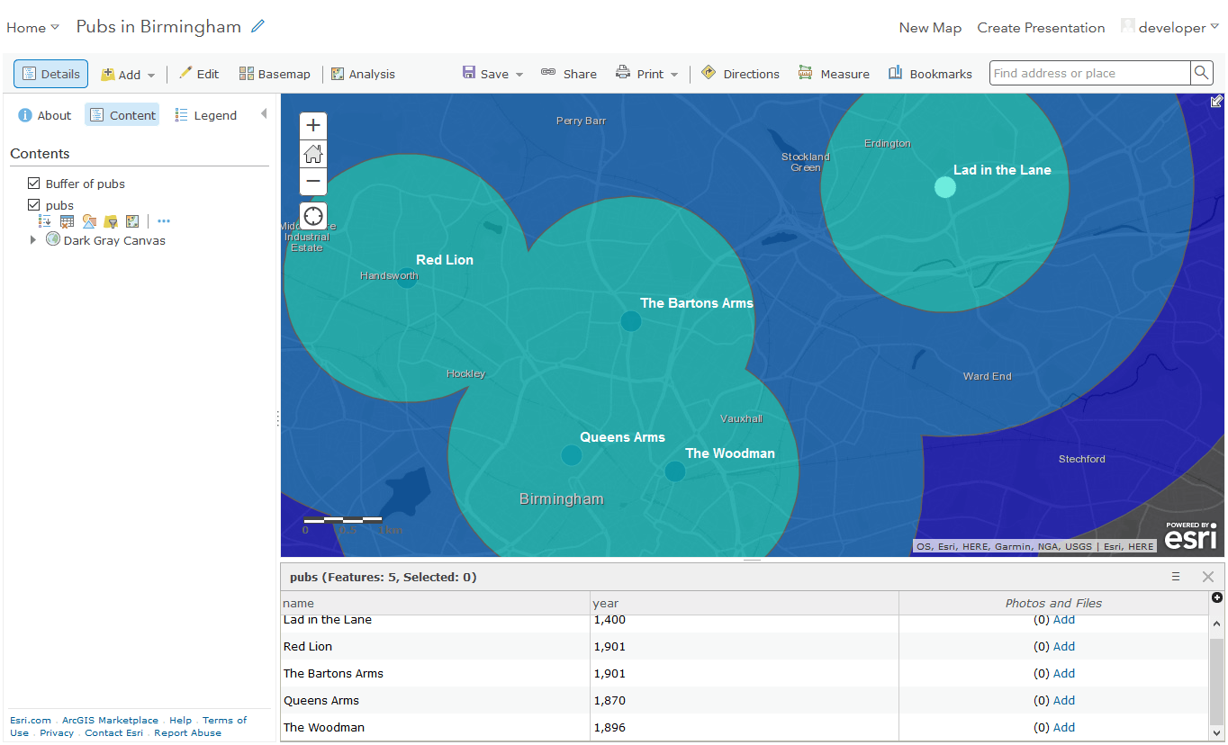
ArcGIS Online (AGOL) for free: The Developer Way
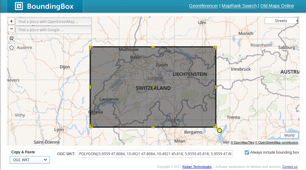
Create Bounding Boxes without Desktop GIS
Bounding boxes are crucial for a lot of geospatial projects: wether you need to limit the extent of your web mapping application or need to cut your research…
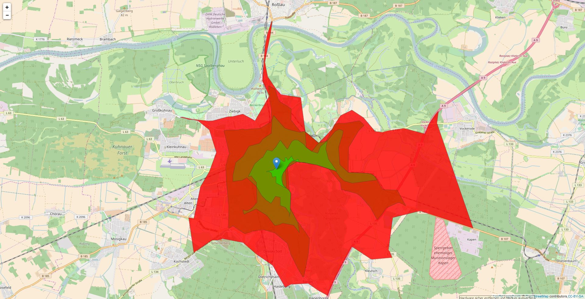
Isochrones in Webmaps: Three Approaches for Leaflet
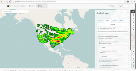
A not complete list of WFS/WMS Catalogs
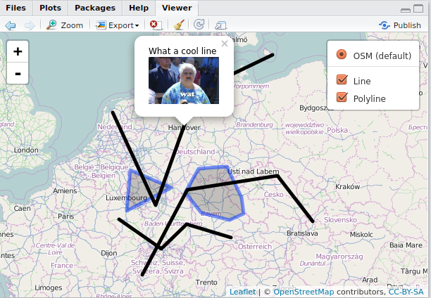
Webmaps with R: the leaflet package for R
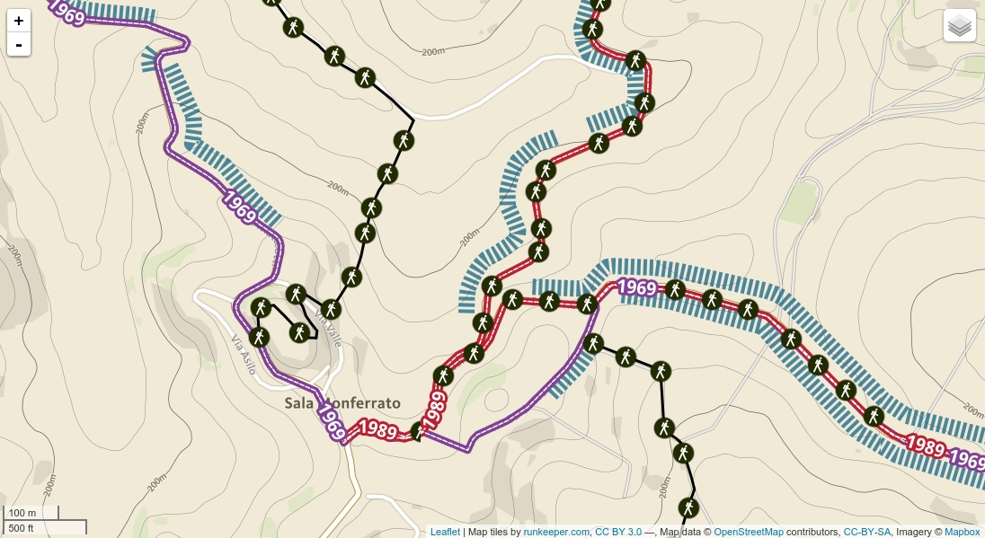
Awesome map style
Are you back from holiday? Maybe you switched from Casale Monferrato, Piedmont and have used the map of Monferrato Landscapes. If you were lucky, you see a new…
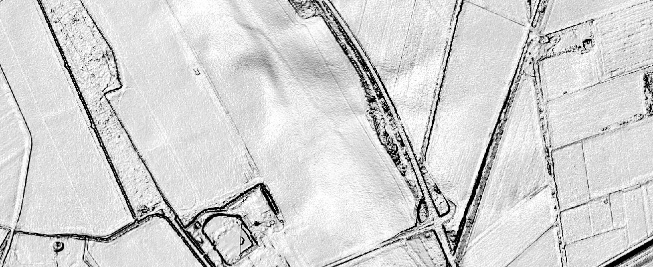
Open Data in the UK
The Ordnance Survey is UK’s mapping agency and frequently releases free datasets. Their OpenData policy is quite progressive compared to Germany’s and they’ve recently published some fresh datasets…
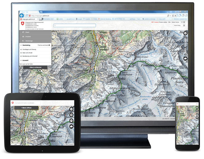
geo.admin.ch: bringing Swiss geodata potential to life
A priorized project of eGovernment Switzerland Usage and exchange of geodata is fostered by geo.admin.ch in a significant way. The Federal geoportal is operated by the Federal Office…

Short announcement: CartoDB has some suprises
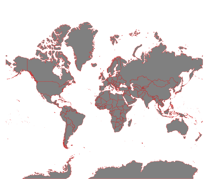
D3.js mapping tutorial 1: set up an initial webmap
This is the first digital-geography.com tutorial for setting up an initial webmap with D3.js-JavaScript library by Mike Bostock.

Analog Geography – German soil of the year 2014 is the vineyard soil
Sometimes you need to replace bits and bytes with dirt and soils, and today’s news are really pushing me to leave the desk and to go for a…