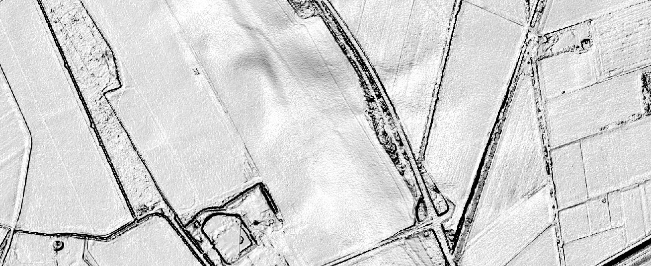
The Ordnance Survey is UK’s mapping agency and frequently releases free datasets. Their OpenData policy is quite progressive compared to Germany’s and they’ve recently published some fresh datasets that anyone can use.
All you need to do is to register and to acknowledge them. The new datasets are: OS Open Map – Local; OS Open Names; OS Open Rivers; and OS Open Roads. They include data on urban and rural features, an index for all the location names in the UK, a generalised open water network, UK’s connected road network and much more. All this adds up to their existing database of topography, location, economy, and infrastructure data and aerial imagery. Many of them are free, too. Vector data can be downloaded as ESRI shapefiles or GML 3, raster data is available as TIFFs, point data come in ASCII files. Landform data come as ASCII raster, NTF or DXF. Certainly worth trying out and excellent datasets for practise. Also check the blog which has some interesting posts every now and then.
They even have a Minecraft map for the UK – I have no idea what this is good for, but it’s there…


