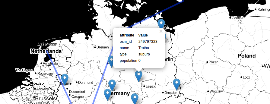
As Daniel already wrote: There is an awesome tool available online. With geojson.io you will be able to add, edit and remove spatial data used maybe in webmapping application online without using a GIS system anymore. Now I made a little video about the usage.
Geojson.io is very fresh and its interoperablity with github makes it even cooler. Especially when it comes to the situation that you need to handover a webmap to someone who has not the intention to get some deeper knowledge in GIS but has the need to alter the webmap data for some puprose. Geojson.io makes it possible to view the data in another environment and to alter it the way you needs it without using an ugly text editor with some basic syntax highligtning functions nor a fully pledged GIS system which costs time to install and to learn.
In GeoJSON.io you simple drag and drop your data so you can edit them online. Copy the code in the end to your own files and off you go:


