Tag: Online


Short Announcement: New Catalog for Geodata
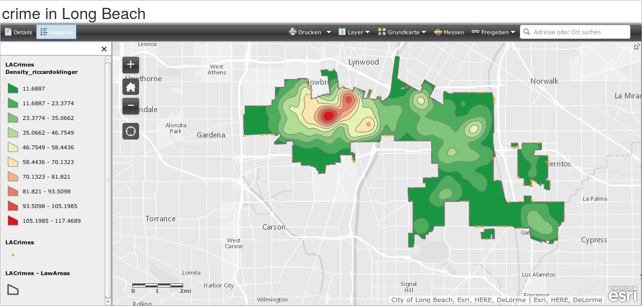
ESRI’s MOOC Going Spatial: Week 5
digital’s digest – 37/2014: compare google with OSM, balloon and kite Mapping, rectify maps online, load OSM tiles in QGIS, High Road OSM filter
Digital’s digest – This new post series gives you a weekly overview about new exciting geo-, project- and gis-links. We should write about a special link? Please submit…
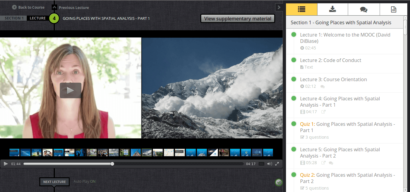
ESRI’s MOOC Going Spatial: Week 1

short announcement: ESRI MOOC – the outline

short announcement: ESRI MOOC scheduled
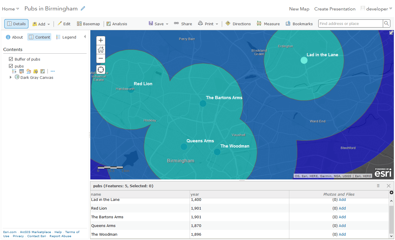
short announcement: new MOOC from our ESRI friends at Redlands
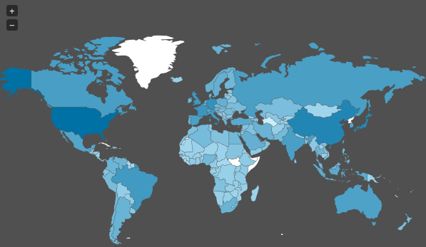
The Spiegel Magazine and their “maps”
Today I stumbled upon a “map” on Spiegel Online ( an import news page in Germany ) which shows the spied countries of the NSA. As we already…
geojson.io: edit geospatial data online- an example
As Daniel already wrote: There is an awesome tool available online. With geojson.io you will be able to add, edit and remove spatial data used maybe in webmapping…
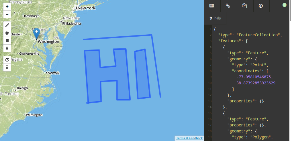
Online GeoJSON Editor
The web is built upon a small set of languages that are present everywhere. Besides HTML, Javascript is the most common technology around here. So it is not…
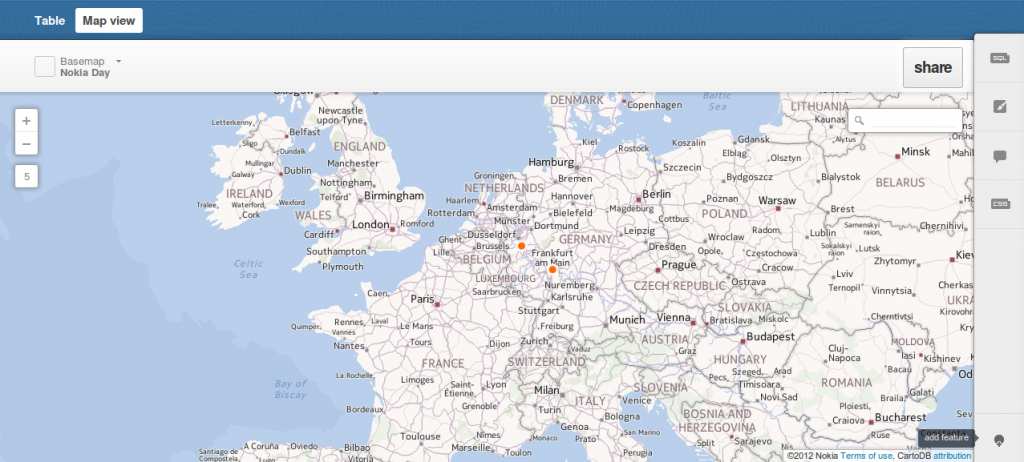
cartoDB and Leaflet: creating the table or part one
We have already introduced cartoDB which is a platform for storing, administering and visualizing spatial data. One straight feature of cartoDB is the usage of GeoJSON for exporting…