Category: Webtools

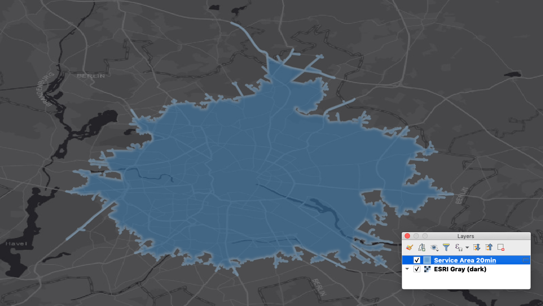
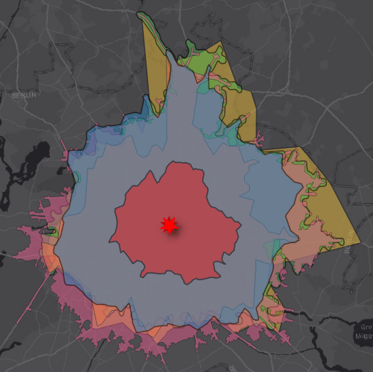
ArcGIS REST API and QGIS: a practical example
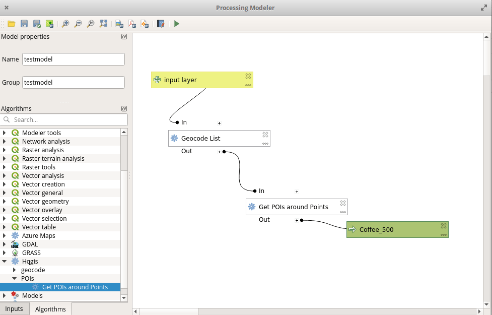
Places of Interest in QGIS: HQGIS
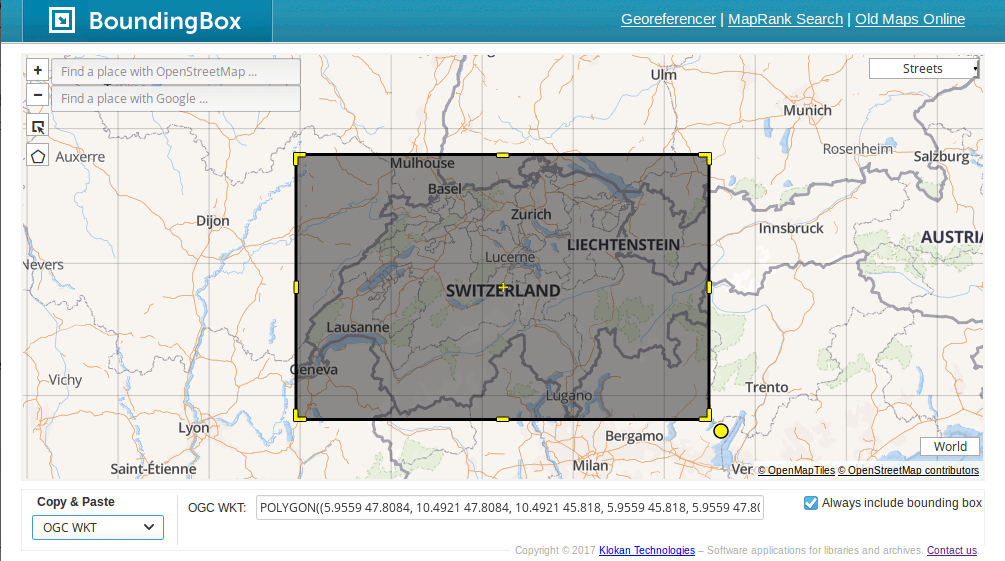
Create Bounding Boxes without Desktop GIS
Bounding boxes are crucial for a lot of geospatial projects: wether you need to limit the extent of your web mapping application or need to cut your research…
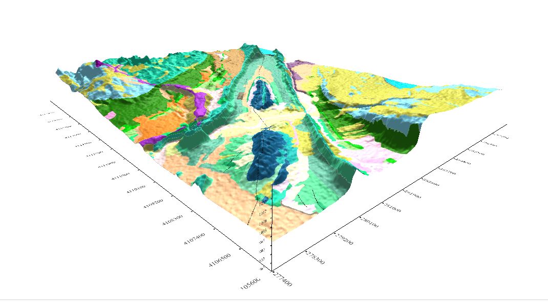
Web Geological Modeling in 3D with Geomodelr. View what’s changed with a new tutorial.
Geomodelr is the first web geological modeling platform. It helps you to model complex geological settings with simple operations. Additionally, It helps people to share and reuse geological models. Geomodelr…
JuxtaposeJS and the Death (and Re-Birth) of Bogoslof Island
This post is just a quick update on a unique event unfolding in my home state of Alaska and a cool new tool to help you post image…
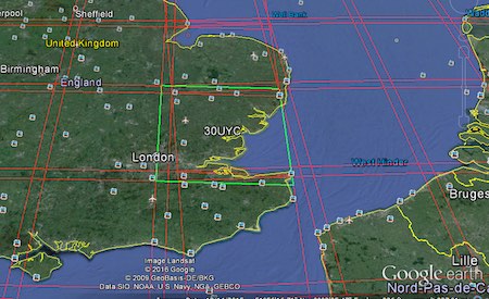
Accessing Landsat and Sentinel-2 on Amazon Web services
The cloud has made it easier to process large amount of data, and satellite imagery processing benefits from cloud processing too. One of the cloud services that offers…
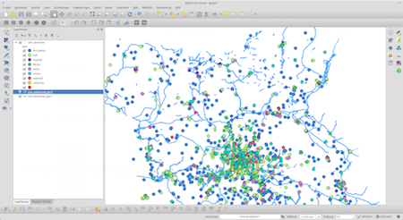
Import OSM Data Into A PostGIS Database (The Easy Way)
I often find myself in a situation where I want to work with large areas and datasets of OpenStreetMap data. No matter if you want to use them…
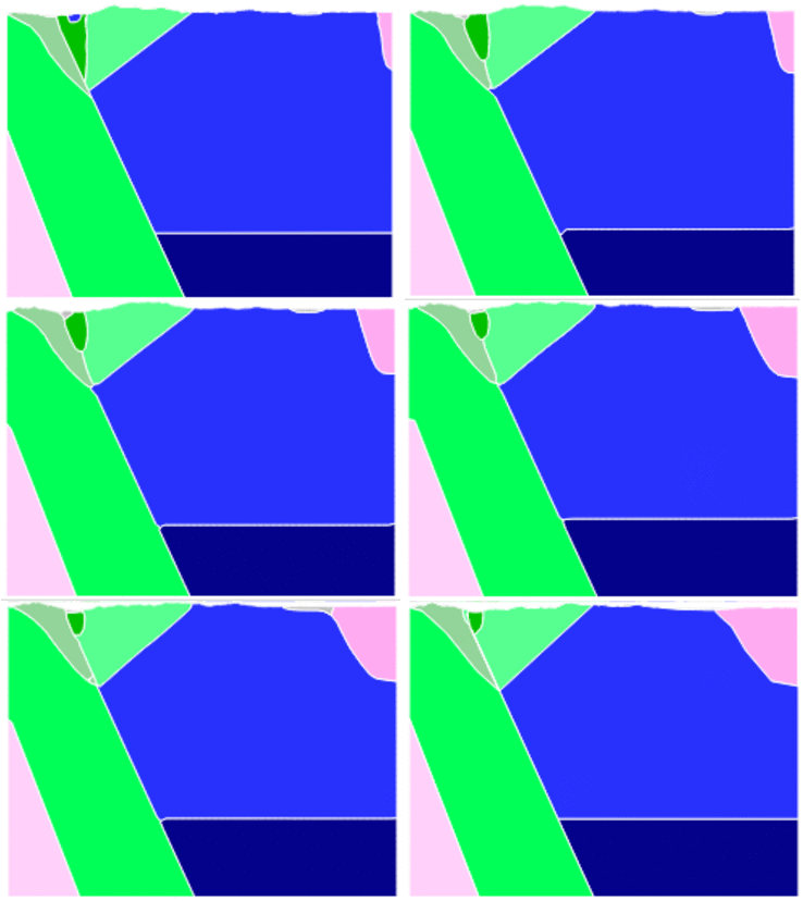
Mapalomalia: First web geological modeling platform
Mapalomalia lets geologists create and visualize 3D geological models from their browsers. It’s a free to use geological modeling platform. I hope people will use it to convey information about…
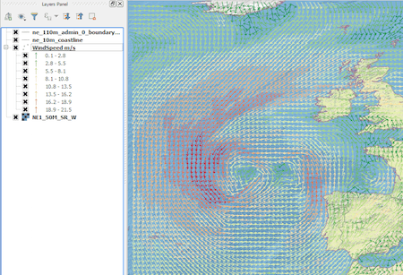
From Cloud to GIS: Getting Weather Data.
Introduction In this post we are going to look at how to get weather forecast data and display it as a layer in a desktop geographical information system…
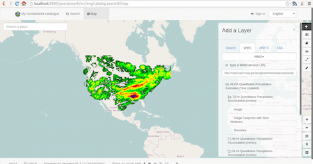
A not complete list of WFS/WMS Catalogs
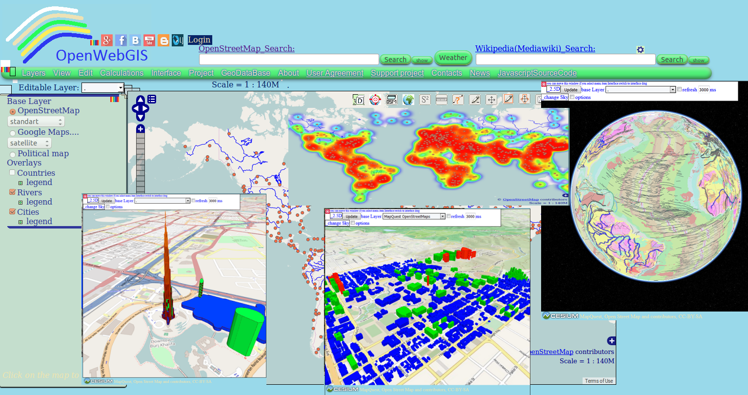
Evolving Geographic Information System: OpenWebGIS plans & its crowdfunding campaign
Perhaps you have already used in your work OpenWebGIS or just have seen it or read about it. Due to this system exists since 2014. But we will…