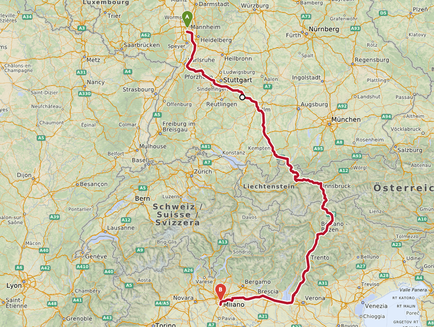
openrouteservice v4.5 is released
We’re happy to announce the release of v4.5 of openrouteservice, which exposes unique services for two of our core API’s, routing and isochrones. Now you can restrict routes…

We’re happy to announce the release of v4.5 of openrouteservice, which exposes unique services for two of our core API’s, routing and isochrones. Now you can restrict routes…
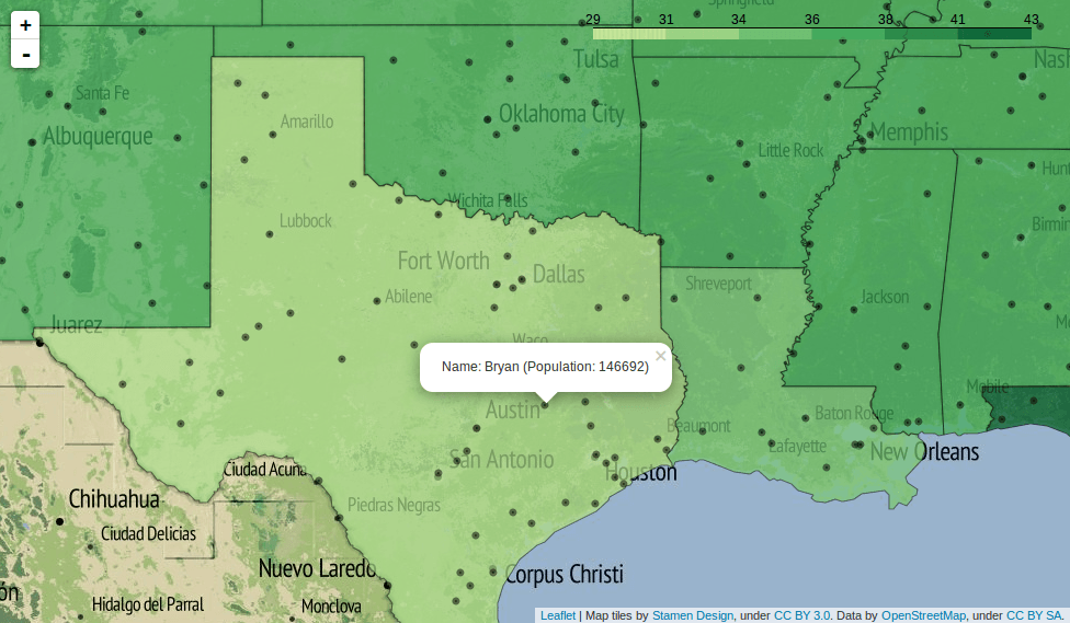
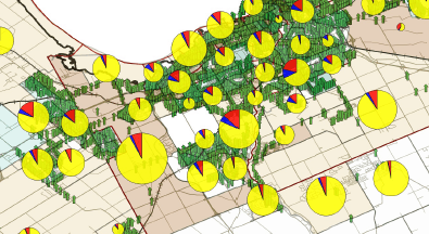
An article from Anders. Geodata in javascript GeoJSON is the standard way of storing geodata in JSON, javascripts native data format. The wikipedia article has very clear and…
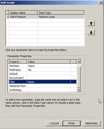
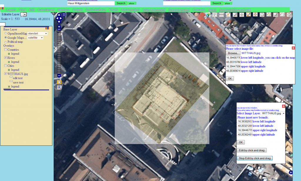
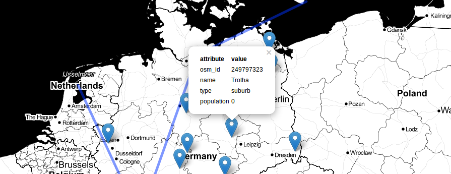
It was just a small idea but I haven’t slept much since it came to my mind to build a plugin fo QGIS. It should create a basic…

Dear folks, most of you probably know how to map things using software on your pc. Some of you might also know cartoDB. We like their service as…
I just found a nice web interface for converting Shapefiles to geoJSON, the preferred format of vector geodata on the web. And yes, you can also convert back…
As Daniel already wrote: There is an awesome tool available online. With geojson.io you will be able to add, edit and remove spatial data used maybe in webmapping…
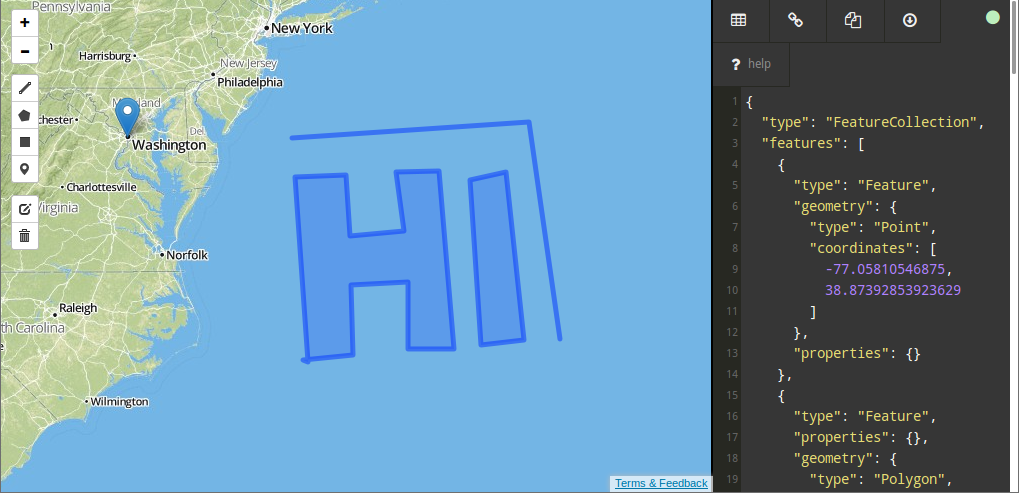
The web is built upon a small set of languages that are present everywhere. Besides HTML, Javascript is the most common technology around here. So it is not…
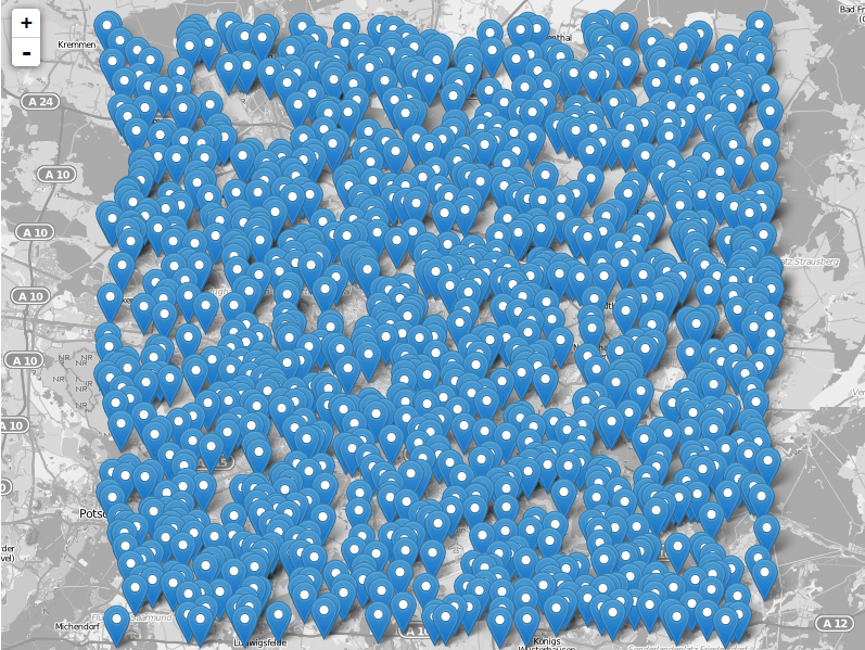
The leaflet API is very simple and tries to deliver best performance and style for commonly used features like tilelayers, points and lines and markers in general. So…

Within that tutorial I will show you how to: add a geoJSON file using pure Leaflet open a geoJSON file with D3 open a TopoJSON file with D3…