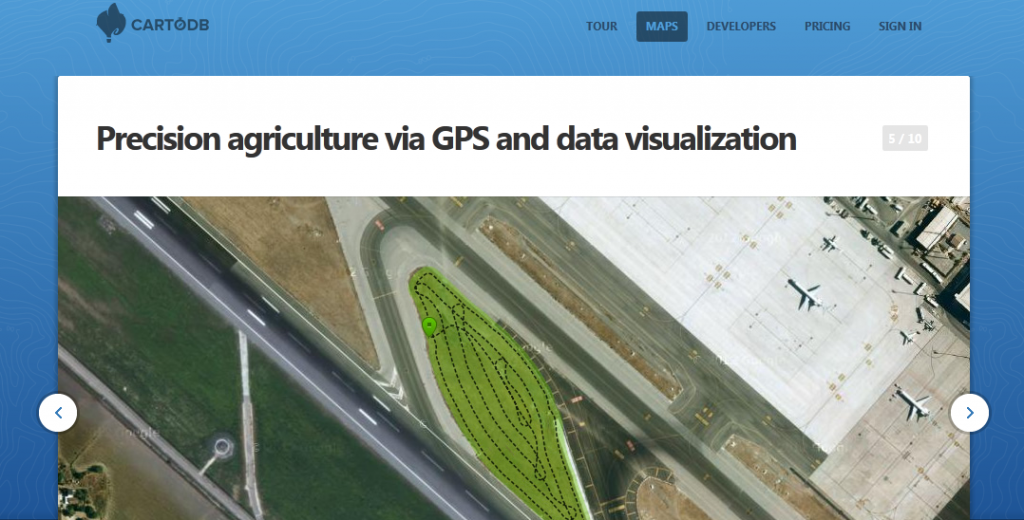
As we are running several projects besides this blog we ran across CartoDB. CartoDB is more or less a nice GUI that serves you either a table of your data or a map that refers to this data. As a user you register yourself and you are able to use the service for free if one can waive the feeling of privacy.
You get several things: easy import of your table via *.csv or *.xls file, export to GEOjson, SQL engine and a geocoder who can compute the coordinates of your points if you serve fields for an adress.
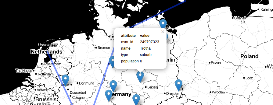
Best thing on it: You can consume the map either as a WMS with tiles or as a WFS with vectors and attributes. And with the API you can fetch the needed data with SQL which is great for the usage with openlayers.
In fact cartoDB is a manifold of open source software packages that work together. The creators of cartoDB vizzuality state that it is possible to run CartoDB on your own server but it is tricky as well (“installation process is only for hardy souls”).
Have anyone some experience in it?