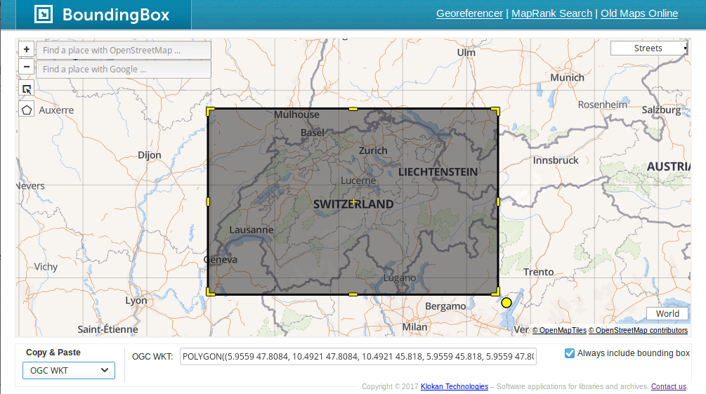
Create Bounding Boxes without Desktop GIS
Bounding boxes are crucial for a lot of geospatial projects: wether you need to limit the extent of your web mapping application or need to cut your research…

Bounding boxes are crucial for a lot of geospatial projects: wether you need to limit the extent of your web mapping application or need to cut your research…
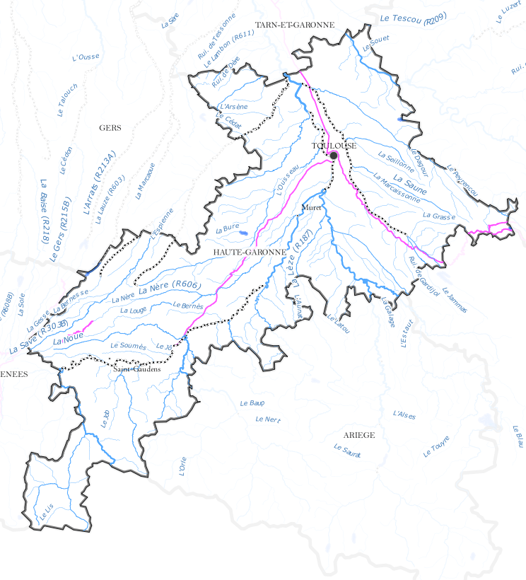
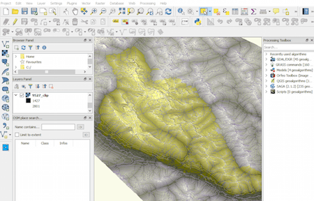
Last time we had the task to create mountain ranges polygons for the whole world. I prepared a small tutorial referred to that. Maybe you can find something…
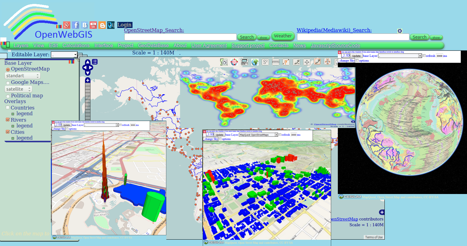
Perhaps you have already used in your work OpenWebGIS or just have seen it or read about it. Due to this system exists since 2014. But we will…
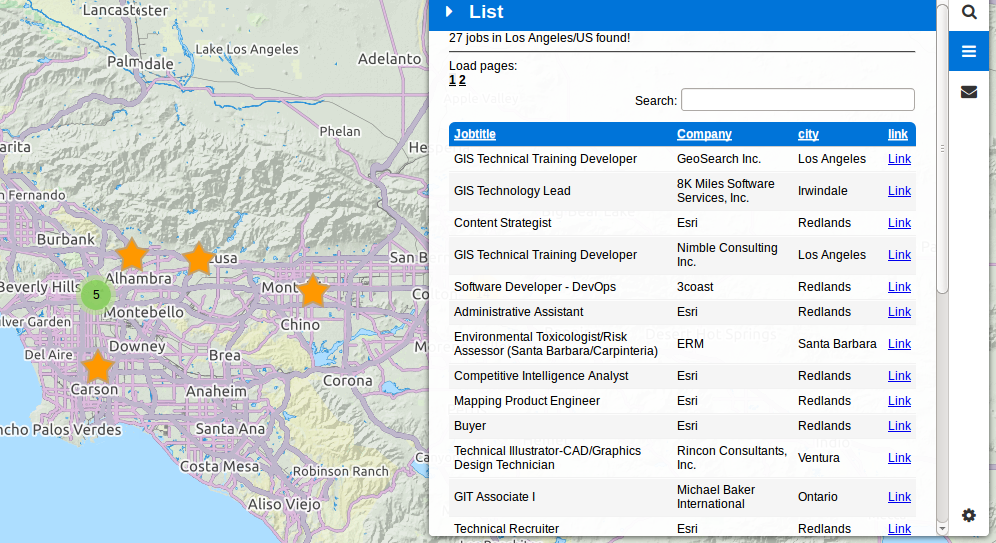

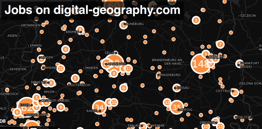
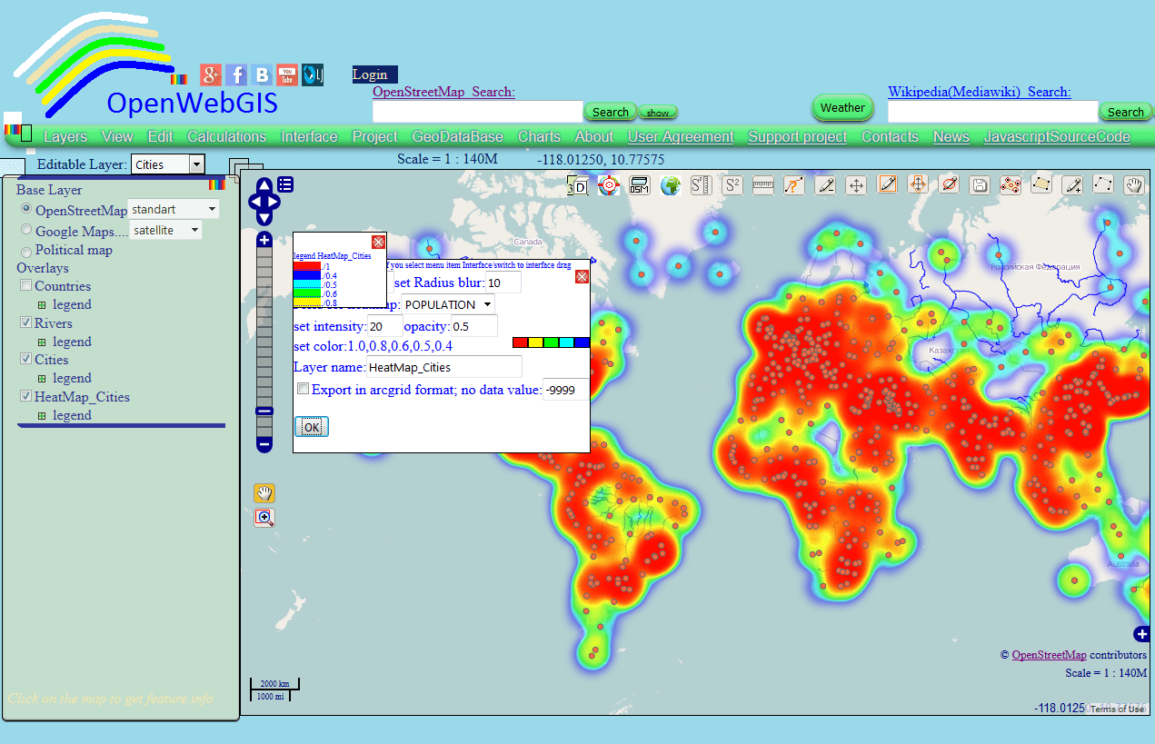
In this article we consider the creation of Heatmap and Interpolation with the help of OpenWebGIS interface. In the next article it is planned to describe its technical…
Typically GIS and geodata nerds are male. Anyhow, 99.9 % of our contacts, freelancer sign ups, comment writers here on the blog are boys. But where are the…
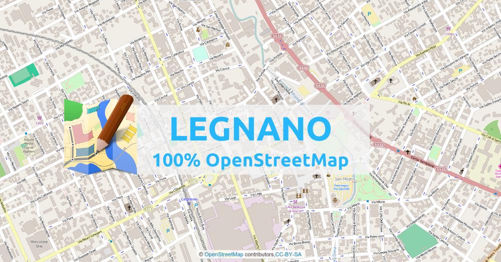
One day last month, I came back to OpenStreetMap, to see how the city of Legnano (city of 60k people – near Milan – Italy) was mapped. I knew I…