Category: Data

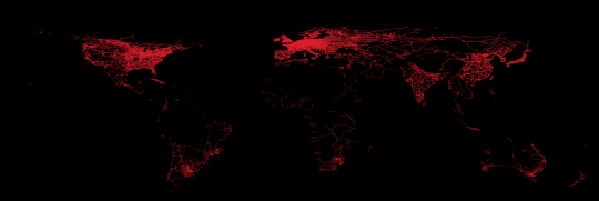
In the summer of 2019 Michael Marz started to extract most important items from OpenStreetMap and published those extracts as geopackages on his webpage. Back then I looked…
GDEM V3 vs SRTM 1: a comparison
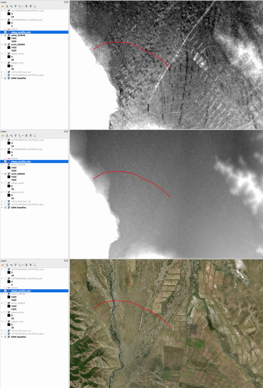
Some time has past since I last wrote a DEM comparison, comparing ALOS World with SRTM 1 and GDEM V2 with SRTM 3. But as NASA and METI…
Geocoding with Microsoft’s Azure Maps
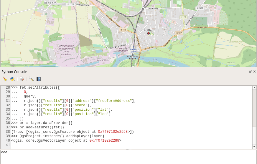
API’s are getting more and more important as some (maybe the majority?) of GIS users don’t want to handle large datasets, don’t want to care about addresses and…

Copernicus, Sentinel and your favourite GIS
The Copernicus Program provides an interesting alternative data source for your work with Landsat data… Sentinel images: Copernicus will deliver an unprecedented volume of free data, provide new…
A Digital Earth: the Potential of Data Brokers
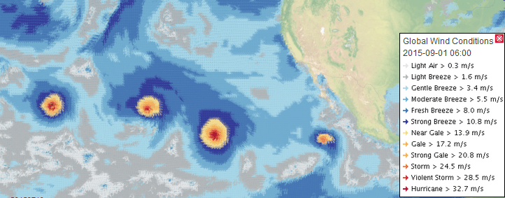
Introduction In my previous two posts I introduced the Cloud based data broker technology ERDDAP and demonstrated how one can use it to obtain geo-spatial scientific environmental data:…
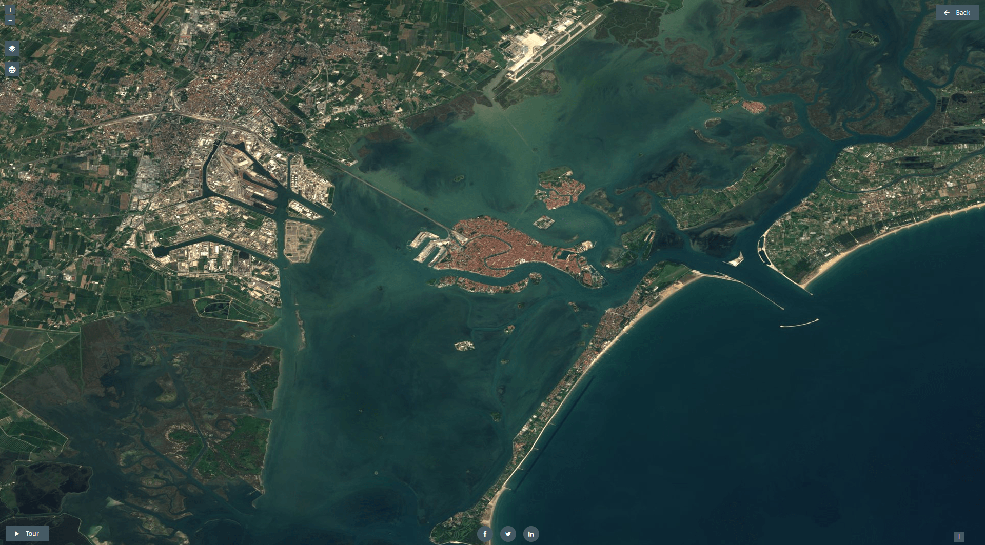
Short Announcement: New Sentinel Cloudless Atlas
Mapbox created a cloudless Landsat map in 2013. That was a huge step for all the webmapping enthusiasts as we got a composit image of the world with…

ALOS World 3D V1.1 vs. SRTM1
Some days ago a new version of the ALOS 30m DEM was released: Void pixels due to clouds and snow pixels within 60 deg. of north and south…

Observing deforestation with Sentinel-1
While preparing for an upcoming presentation at the annual meeting of the American Geophysical Union (AGU) I came across a topic that I thought might make an interesting blog…
Do you need open data? Ask for it.
The well-known Q/A-forum StackExchange has started a new “Open Data” section. Users can ask for needed datasets and get feedback from the great StackExchange community. Especially for our…
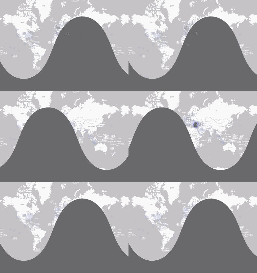
The Coup in Turkey: the Twitter Perspective
The coup/attempt in Turkey kept me up from going to sleep after the two nice hours of “Back to the Future” on German television. So despite of the…
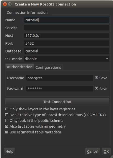
PostgreSQL and PostGIS: A brief introduction
You probably seen this already (maybe on your very own PC as well): A folder with shape files. Well we’re living in the 21st century and I do…
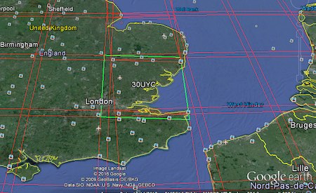
Accessing Landsat and Sentinel-2 on Amazon Web services
The cloud has made it easier to process large amount of data, and satellite imagery processing benefits from cloud processing too. One of the cloud services that offers…