The earth observation satellite Sentinel-2 with Sentinel-2A and Sentinel 2B was launched on June 23rd 2015 from space centre Kourou in French Guiana. The mission is part of the Copernicus mission by ESA. The liftoff was recorded by ESA and can be watched here.
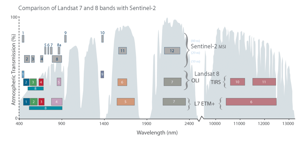
Sentinel will be a complement to the multispectral satellites of the Landsat mission and SPOT. All observation systems in combination reveal a higher temporal resolution by shifted orbits and large stripe widths (Sentinel: 290km). Sentinel has a repetition rate of 10 days, Landsat 8 of 16 days but in combination with Landsat 7 a 8 day repetition. Together they offer to monitor the same point on our earth in a weekly period. Sentinel satellite contains 13 different bands with wavelength from 443 to 2190nm. The red and near-infrared bands, mainly for monitoring vegetation, combined with its two shortwave infrared bands have a ground resolution of 20m whereas all other bands have a spatial resolution of 10m or 60m.
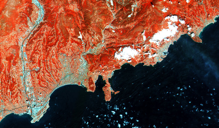
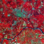
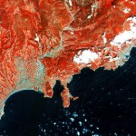
Only four days after liftoff, first images are ready to explore. Images were taken over Italy with cloudfree sky. The atmosphere was more cloudy in northern and central Europe during the first overpass. The first images show the northern part of Italy, the city of Milano and French Rivera. The ground resolution of 10m enables the differentiation between single houses, agricultural plots and many more.
During the next 3 months the satellite will be calibrated but as ESA stated already “the quality of these first images already exceeds expectations”.


Is this data going to be available like Landsat 8?
I was wondering the same but couldn’t find information about that question. Press both thumbs!