GDEM V3 vs SRTM 1: a comparison
Some time has past since I last wrote a DEM comparison, comparing ALOS World with SRTM 1 and GDEM V2 with SRTM 3. But as NASA and METI…

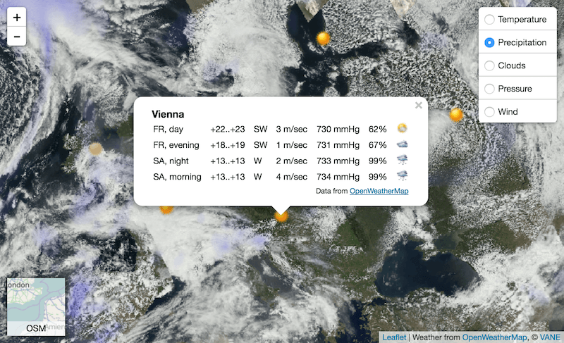
Introduction In my previous two posts I introduced the Cloud based data broker technology ERDDAP and demonstrated how one can use it to obtain geo-spatial scientific environmental data:…
If you are reading this post – you might know something about satellite imagery. This is a valuable source to power quite a lot of analytics and monitoring…
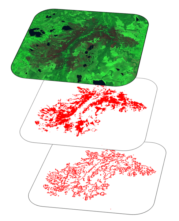
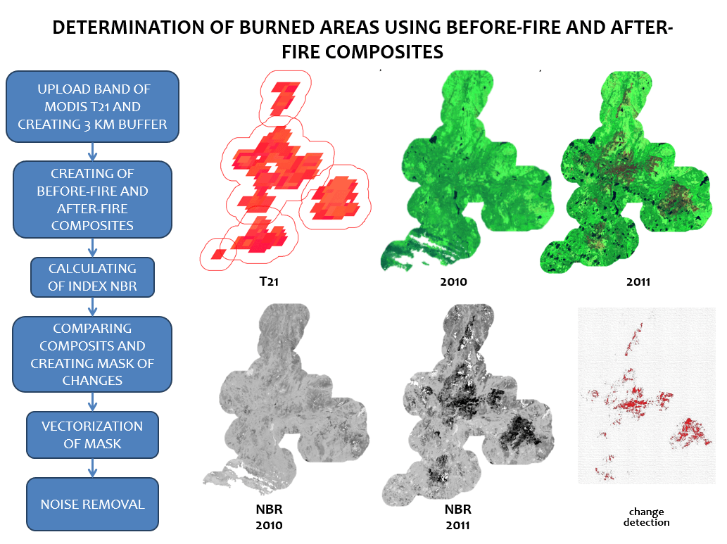
I want to continue my article “Using the Google Earth Engine (GEE) for Detection of Burned Areas” (link) and describe in detail script for detection burned areas. I decided…

This post is just a quick update on a unique event unfolding in my home state of Alaska and a cool new tool to help you post image…
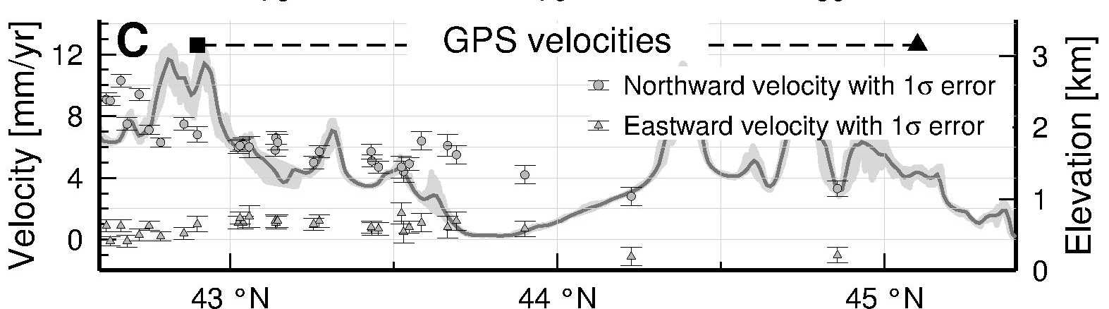
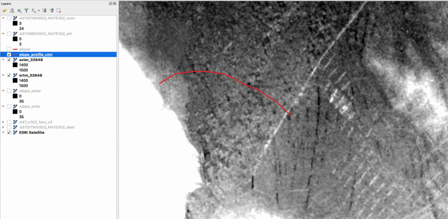
For a geomorphological study that I am working on I want to produce topographic swath profiles across a mountain range, that is, I want the average elevation along…