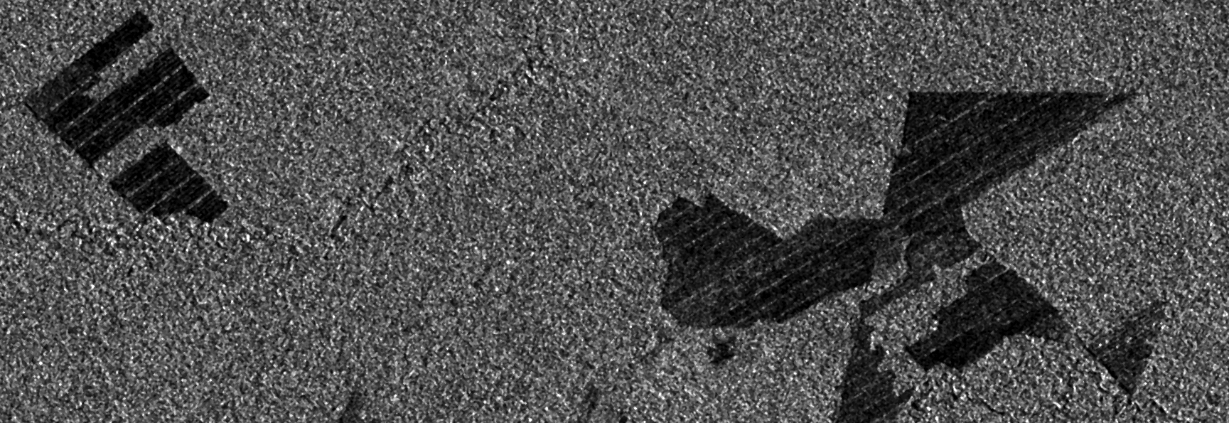
Observing deforestation with Sentinel-1
While preparing for an upcoming presentation at the annual meeting of the American Geophysical Union (AGU) I came across a topic that I thought might make an interesting blog…

While preparing for an upcoming presentation at the annual meeting of the American Geophysical Union (AGU) I came across a topic that I thought might make an interesting blog…
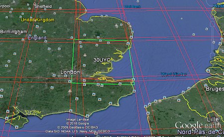
The cloud has made it easier to process large amount of data, and satellite imagery processing benefits from cloud processing too. One of the cloud services that offers…
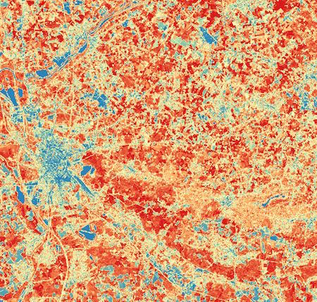
Sentinel-2 is the optical satellite of the Copernicus programme. It can be compared to Landsat, although it has a better resolution, of 10 to 20 meters. We’ll be…
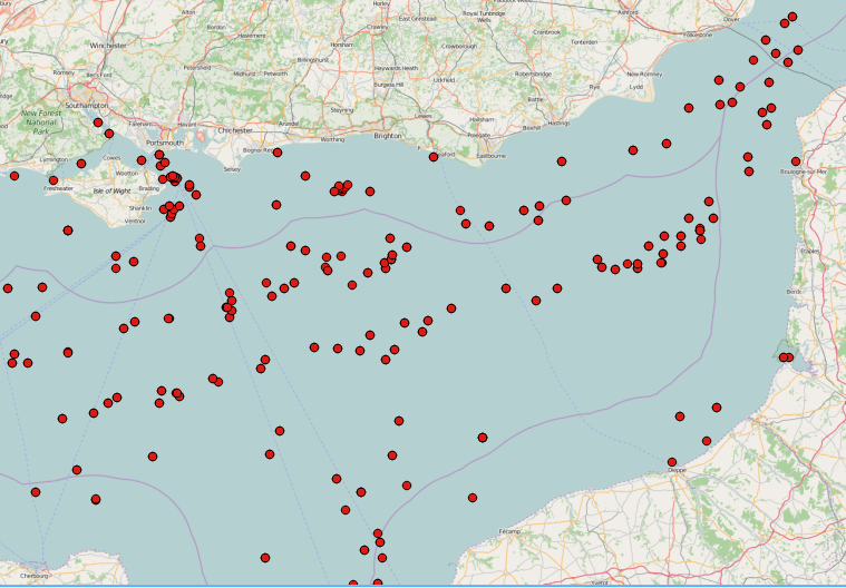
SAR images can see through clouds and in darkness, and are therefore very useful for operational monitoring of our seas. Detecting ships, icebergs, wind patterns, and oil spills…
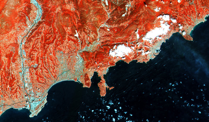
The earth observation satellite Sentinel-2 with Sentinel-2A and Sentinel 2B was launched on June 23rd 2015 from space centre Kourou in French Guiana. The mission is part of…
Since we are still in the International of Year of Soils , another Digital Soil Science post is ready. Some of you might already know that I’m addicted to…
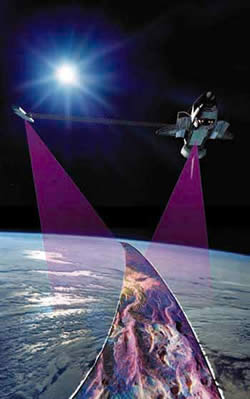
The White House announced on September 23th during the United Nations Heads of State Climate Summit in New York that they are going to release the high-resolution images…
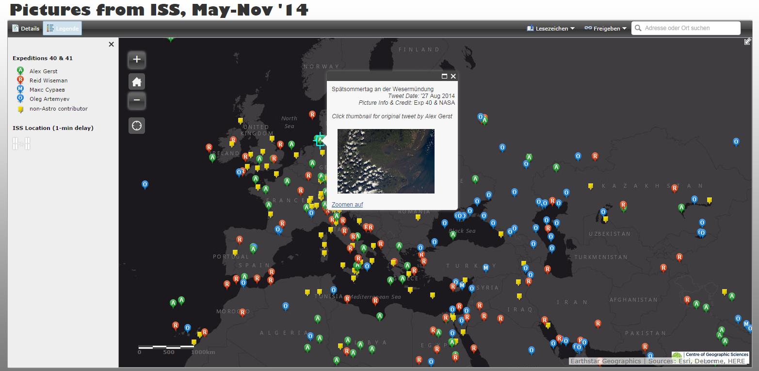
The Sojus TMA-13M started on May 28th 2014 from Baikonur to bring the German Alex Gerst, the Russian Maxim Surajew and the American Reid Wiseman to the ISS…
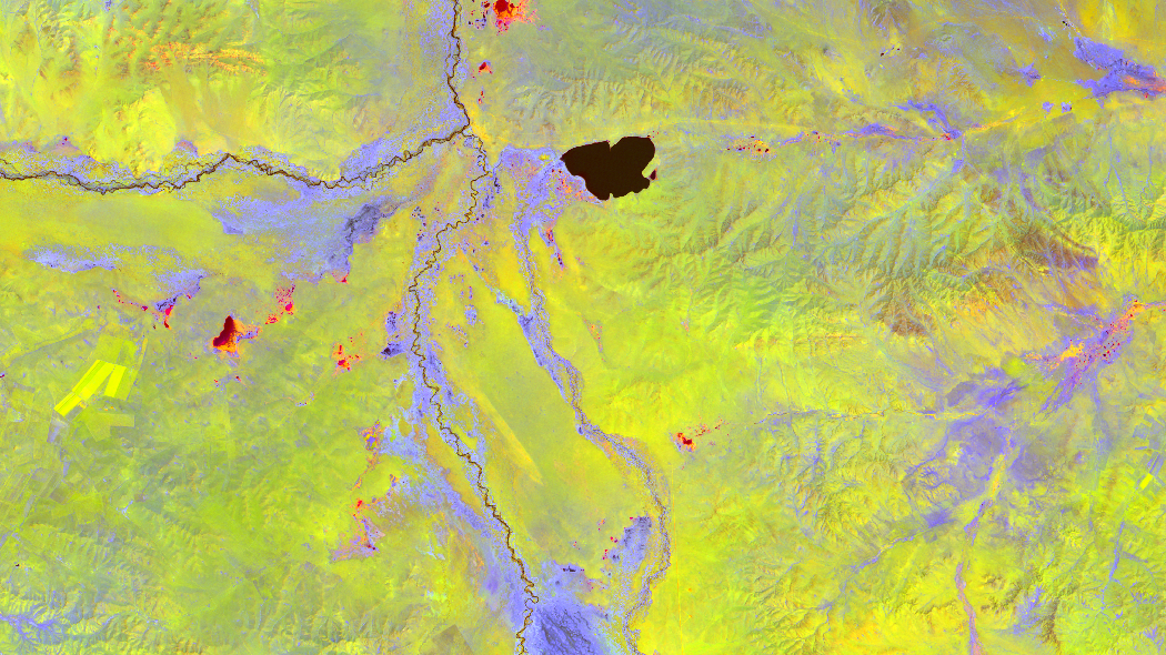
When it comes to data we are more or less lost nowadays. We can acquire more and more data for a current area and find answers on our…
The sub-title to this post could easily be “reasons to love DLR #123 (transparency)”. You’ll see why in a moment. In this post I am going to do…

Following sequestration and bitter budget wars in Washington NASA find itself in a difficult position. NASA has proposed a budget of $17.715 billion, down from $17.893B last year.…
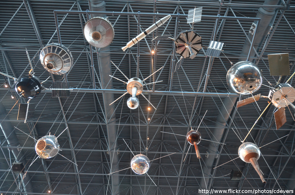
Since the start of Google Earth in 2001 (it was re-released in 2005 after Google acquired it from Keyhole, Inc ) remote sensing images made their way into…