Accessing Landsat and Sentinel-2 on Amazon Web services
The cloud has made it easier to process large amount of data, and satellite imagery processing benefits from cloud processing too. One of the cloud services that offers…
The cloud has made it easier to process large amount of data, and satellite imagery processing benefits from cloud processing too. One of the cloud services that offers…
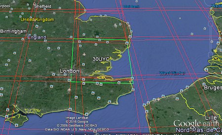
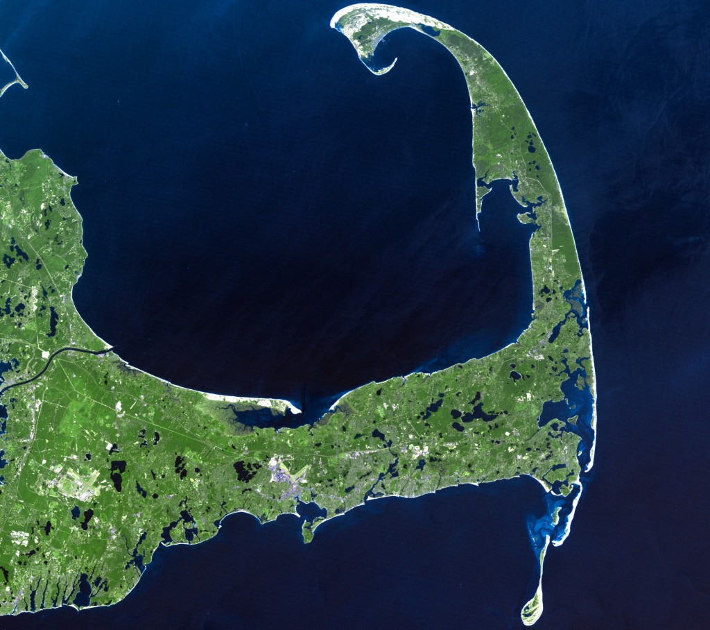
The earth observation satellite Sentinel-2 with Sentinel-2A and Sentinel 2B was launched on June 23rd 2015 from space centre Kourou in French Guiana. The mission is part of…
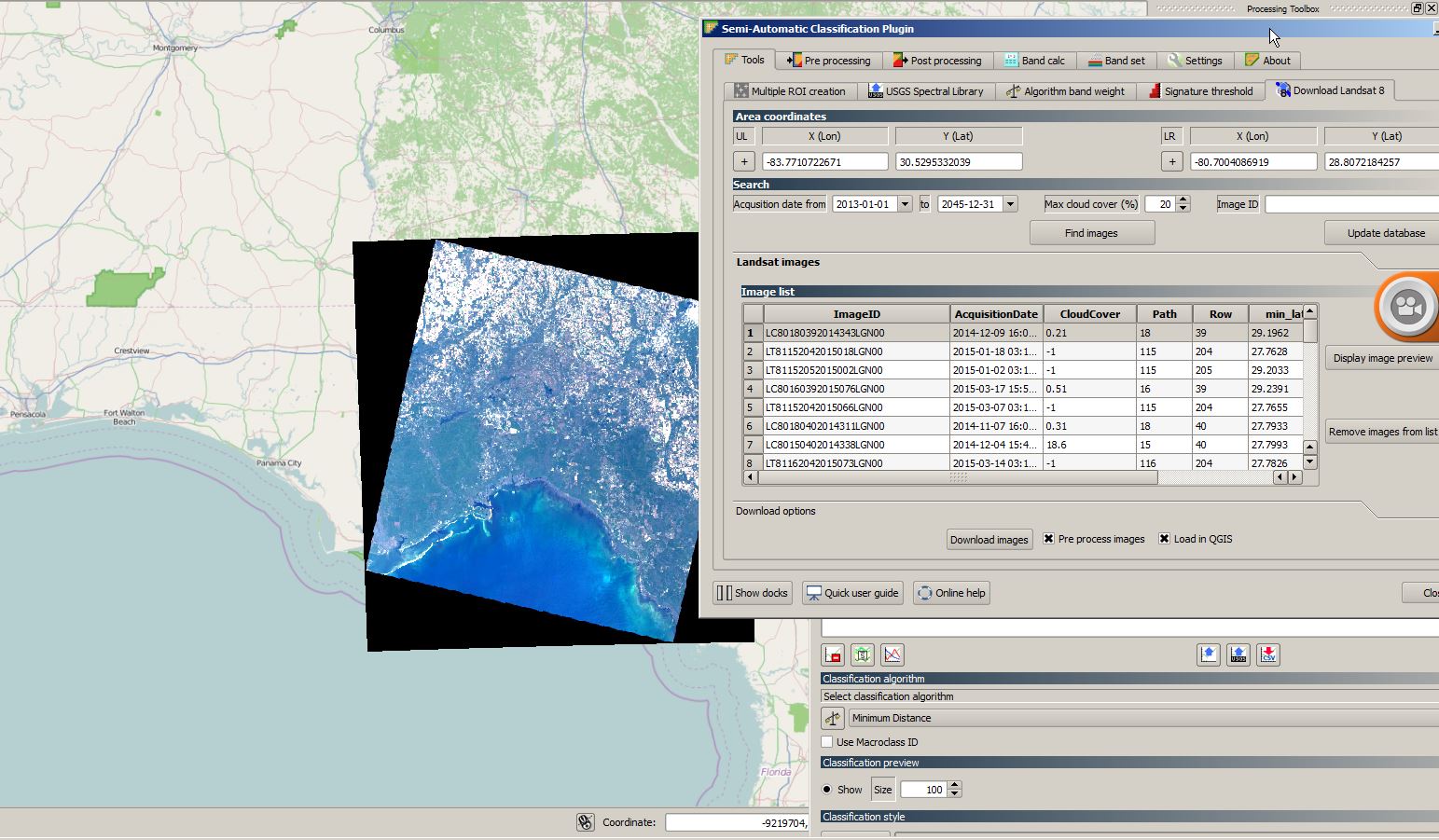
As I have already covered the creation of a layer stack using the merge function from gdal and I’ve found this great “plugin” OrfeoToolBox (OTB) we can now…
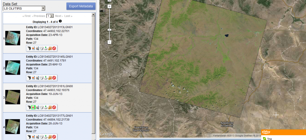
Thanks to a post from the mapbox colleagues I’ve found out that new Landsat 8 scenes are already available on EarthExplorer. The data is great!!!
On the 9th of May Google introduced an astonishing new technology that makes the good old flickr function in Erdas Imagine quite useless. With the Earth Engine from…
Sorry to talk about this important tool with a little delay. As I was lecturing at the university I was using the Warehouse Inventory Search Tool (WIST) by…
Looking Back Most people using GIS or remote sensing data came across the data obtained by the landsat satellite family. It all started with the Landsat 1 mission…
If you have been working in the space remote sensing community for any length of time you have almost certainly crossed paths with Landsat 5. After 29 years…
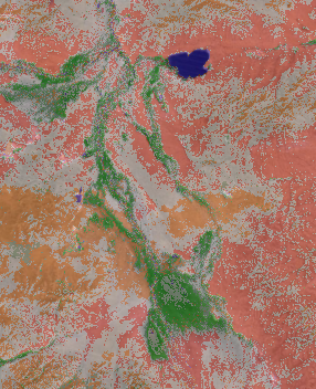
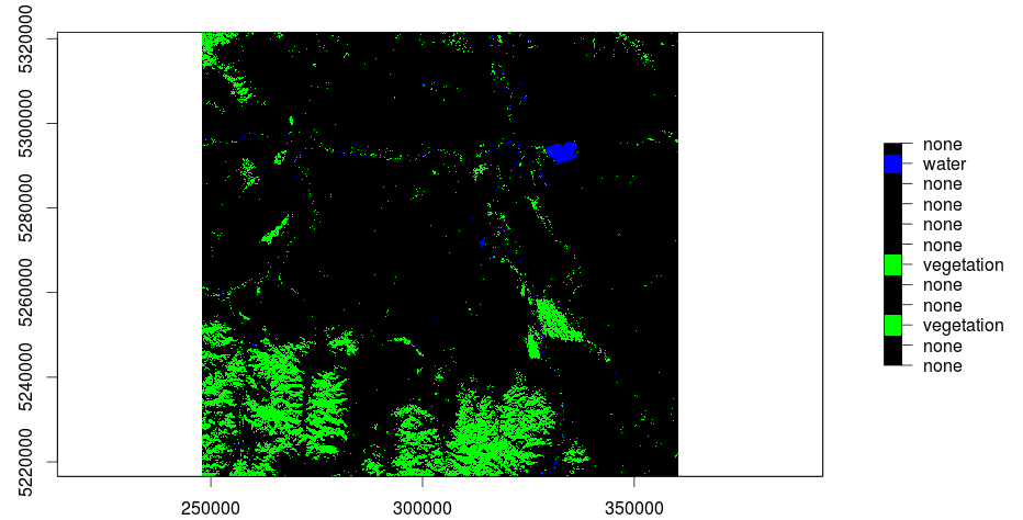
The main question when using remote sensed raster data, as we do, is the question of NaN-treatment. Many R functions are able to use an option like rm.NaN=TRUE…
In my last post I was explaining the usage of QGis to do a layerstack of a Landsat-scene. Due to the fact that further research and trying out…