Short Announcement: New Sentinel Cloudless Atlas
Mapbox created a cloudless Landsat map in 2013. That was a huge step for all the webmapping enthusiasts as we got a composit image of the world with stunning ground resolution and still cloudless! Now EOX, a company based in Vienna, provided a similar product called Sentinel Cloudless. And it is “for free”.QGIS 2.16 tutorial: georeferencing images
Since our last tutorial regarding georeferencing images in QGIS is 4 years old, let us have a second look at this task in the current times of QGIS 2.16. For this tutorial we will use a Soviet map of Crewe in England to see changes in city structure with a snapshot from 1957. We will use simple and quite easy affine transformations for this purpose.Accessing Landsat and Sentinel-2 on Amazon Web services
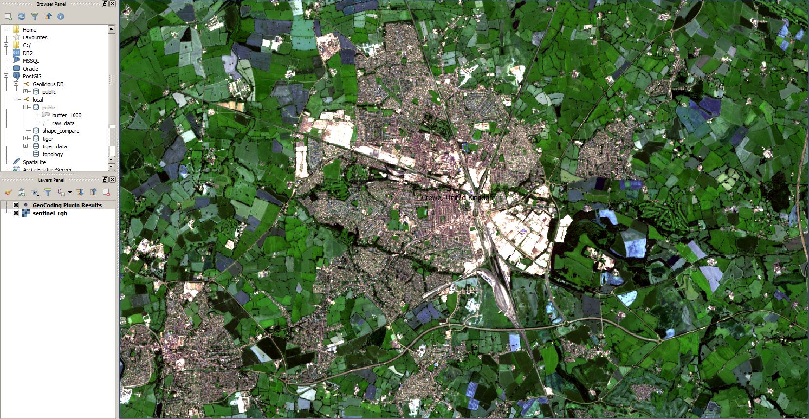
The cloud has made it easier to process large amount of data, and satellite imagery processing benefits from cloud processing too. One of the cloud services that offers access to satellite images, and abilities to process them in the cloud – no more need to download it to your computer and process it there – is Amazon Web Services. If you’ve never worked with cloud processing, getting started with AWS can be a bit daunting. This tutorial gives beginners an introduction to accessing satellite images – Landsat and Sentinel-2 – on AWS.
Using Sentinel-2 for crop monitoring
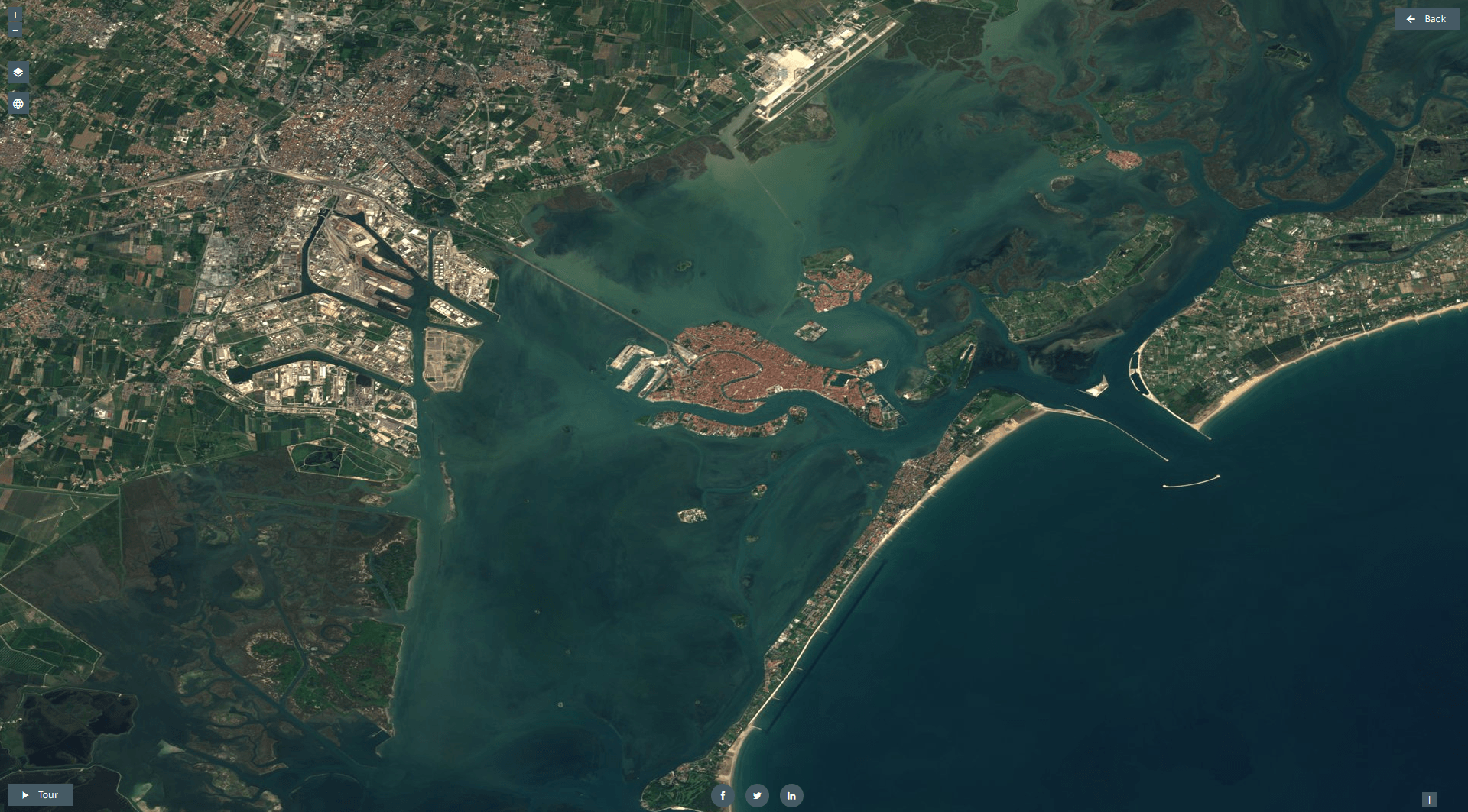
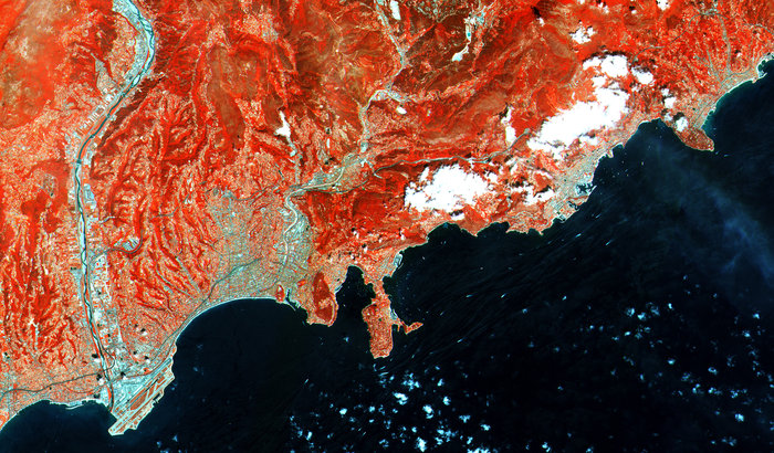
Sentinel-2 is the optical satellite of the Copernicus programme. It can be compared to Landsat, although it has a better resolution, of 10 to 20 meters. We’ll be using it for crop monitoring with simple vegetation indices.
Extracting information from Sentinel-1
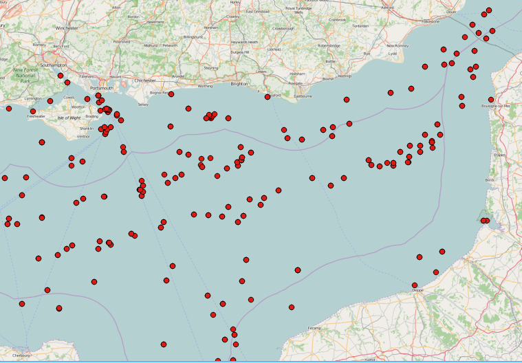
SAR images can see through clouds and in darkness, and are therefore very useful for operational monitoring of our seas. Detecting ships, icebergs, wind patterns, and oil spills is daily business in Europe with the Sentinel-1 satellite. Want to see for yourself how to extract information from a SAR image? In this tutorial, we’ll use the SNAP toolbox for Sentinel-1 to extract information on the number of ships at sea.
Downloading Sentinel satellite imagery
Sentinel is the buzzword for a series of Earth observation missions like Sentinel-1 (Land and Ocean monitoring,launched in April 2014), Sentinel-2 (land monitoring, launched in June 2015) and Sentinel-3 (marine monitoring, launched 16th of Feb 2016) and many more are planned. But how to get the data? Check it out in this post
First images from recently launched Sentinel 2 satellite
The earth observation satellite Sentinel-2 with Sentinel-2A and Sentinel 2B was launched on June 23rd 2015 from space centre Kourou in French Guiana. The mission is part of the Copernicus mission by ESA. The liftoff was recorded by ESA and can be watched here. Sentinel will be a complement to the multispectral satellites of the Landsat mission and SPOT. All observation systems in combination reveal a higher temporal resolution by shifted orbits and large stripe widths (Sentinel: 290km). Sentinel has a repetition rate of 10 days, Landsat 8 of 16 days but in combination with Landsat 7 a 8 day…