Observing deforestation with Sentinel-1
While preparing for an upcoming presentation at the annual meeting of the American Geophysical Union (AGU) I came across a topic that I thought might make an interesting blog…
While preparing for an upcoming presentation at the annual meeting of the American Geophysical Union (AGU) I came across a topic that I thought might make an interesting blog…
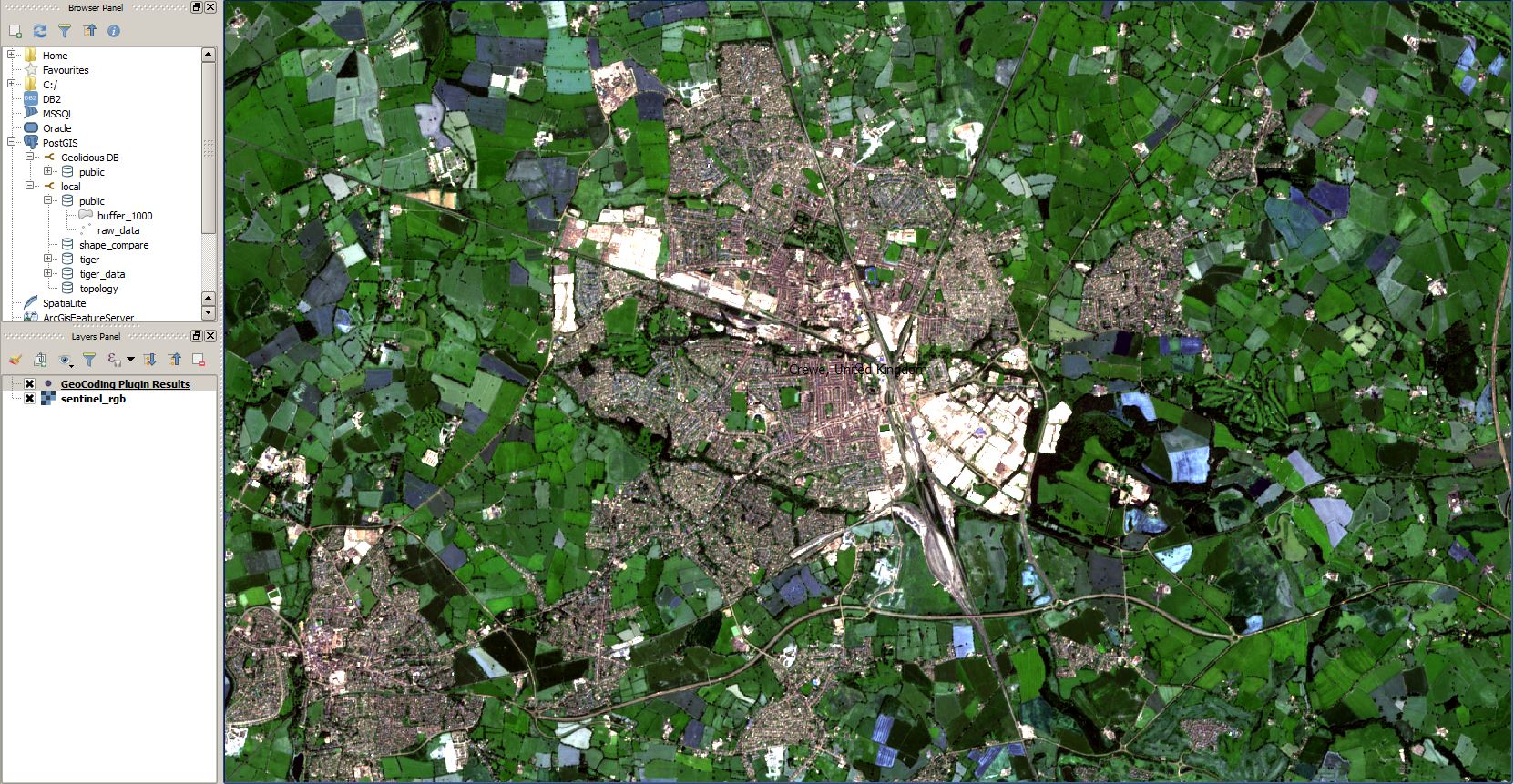
The cloud has made it easier to process large amount of data, and satellite imagery processing benefits from cloud processing too. One of the cloud services that offers…
Sentinel-2 is the optical satellite of the Copernicus programme. It can be compared to Landsat, although it has a better resolution, of 10 to 20 meters. We’ll be…
What’s GDAL? GDAL is the Geospatial Data Abstraction Library, it’s a library to transform raster and vector data and it’s the Swiss Knife of GIS. Topography and bathymetry…
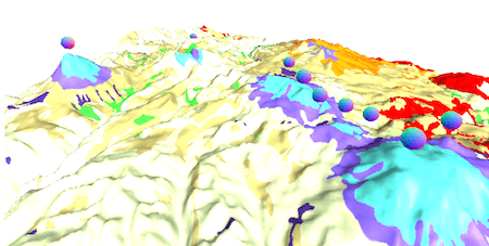
Mapalomalia lets geologists create and visualize 3D geological models from their browsers. It’s a free to use geological modeling platform. I hope people will use it to convey information about…
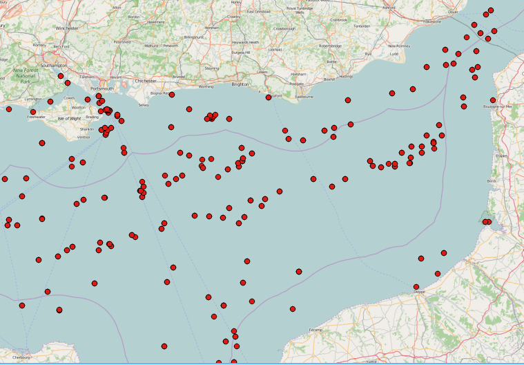
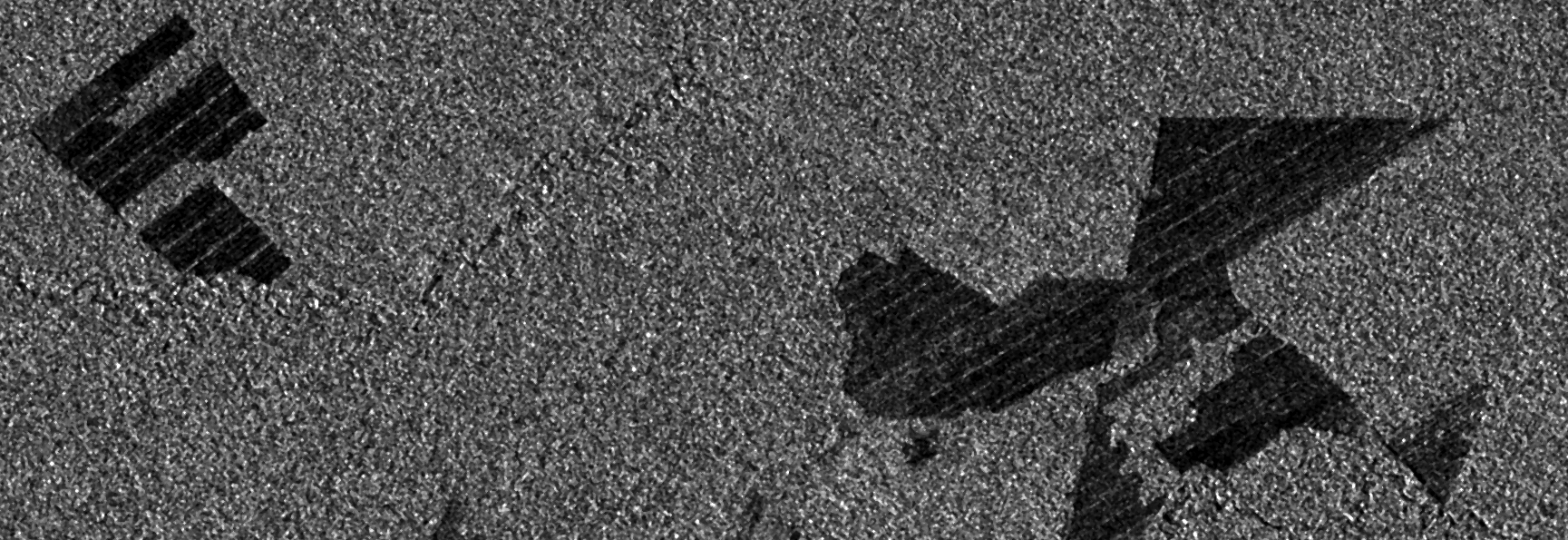
SAR images can see through clouds and in darkness, and are therefore very useful for operational monitoring of our seas. Detecting ships, icebergs, wind patterns, and oil spills…

Sentinel is the buzzword for a series of Earth observation missions like Sentinel-1 (Land and Ocean monitoring,launched in April 2014), Sentinel-2 (land monitoring, launched in June 2015) and…
Once in a while you may need to take an unprojected file and add coordinate parameters to the header. Assuming you use ENVI, the hard way is to…
The earth observation satellite Sentinel-2 with Sentinel-2A and Sentinel 2B was launched on June 23rd 2015 from space centre Kourou in French Guiana. The mission is part of…