openrouteservice v4.5 is released
We’re happy to announce the release of v4.5 of openrouteservice, which exposes unique services for two of our core API’s, routing and isochrones. Now you can restrict routes…
We’re happy to announce the release of v4.5 of openrouteservice, which exposes unique services for two of our core API’s, routing and isochrones. Now you can restrict routes…

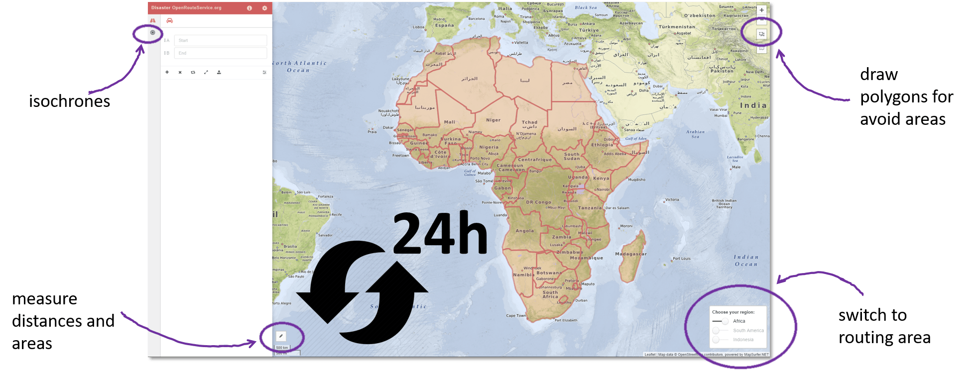
Recently HeiGIT @ GIScience Heidelberg released a dedicated stable disaster versionof OpenRouteService (ORS) to support humanitarian logistics within specific regions of catastrophes with data from OSM in a more sustainable…
Why GPX? For what? It's convenient to record tracks of your hiking/field trips with the GPS of your smartphone, tablet or just GPS as .gpx files. You can…
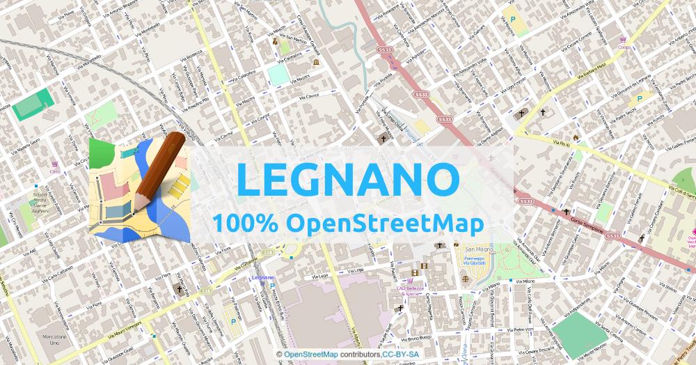
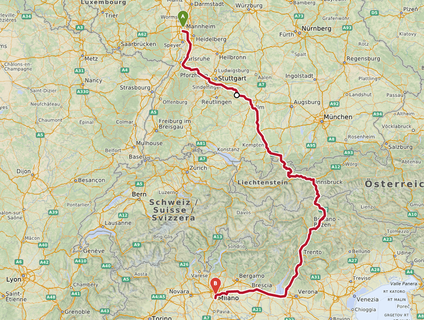
One day last month, I came back to OpenStreetMap, to see how the city of Legnano (city of 60k people – near Milan – Italy) was mapped. I knew I…
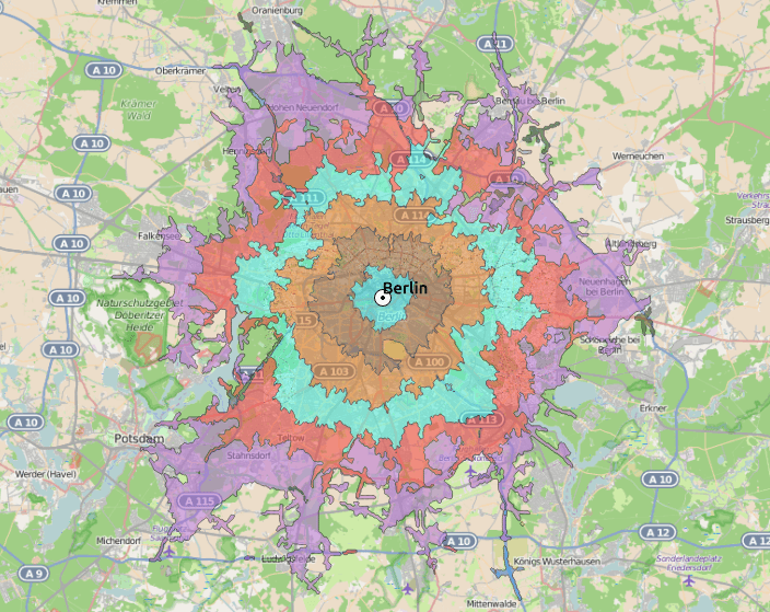

OpenStreetmap is the fastest growing community mapping project of all times. Beside the “normal” map result, what you can use for your daily navigation through cities and countries…
Digital’s digest – This new post series gives you a weekly overview about new exciting geo-, project- and gis-links. We should write about a special link? Please submit…
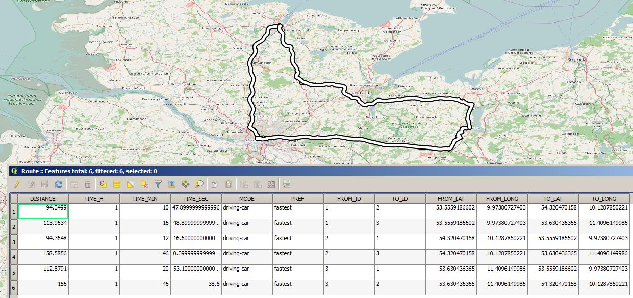
In this post I’ll show how to explore (or data mine) Open Street Map data and use features off-line that normally can be hard to get. Many use…