OpenStreetmap is the fastest growing community mapping project of all times. Beside the “normal” map result, what you can use for your daily navigation through cities and countries like Google Maps, OpenStreetMap allows you to get the geodata and use it for your own ideas and projects (with some licence regulations).
For many peoples the difficult part is not getting the data but the usage and adoption. Therefore the Humanitarian OpenStreetMap Team created LearnOSM.org.
What can you learn on “LearnOSM.org?”
The following lists are copied from LearnOSM.org for a fast linkage to OSM and GIS knowledge ressources.
Beginner guides
- Introduction to OSM
- Starting OSM
- Editing with Potlatch
- Getting Started with JOSM
- JOSM Plug ins
- Using the GPS
- GPS: extrex20
- Walking Papers
- Editing with JOSM
- Imagery Offset
- Moving Forward
Intermediate
- Editing in Detail
- Conflict Resolution
- Using Orbview Imagery in JOSM
- Quality Assurance
- Tasking Manager
- Editing the Wiki
- Creating Custom Presets
- Private Data Store
Advanced
- PostGIS Configuration
- Cartography with TileMill
- Putting Maps on a Website
- Github Sharing
- WMS Service Configuration
- Private Data Storage Configuration
- Projections and File Types
- SQLite Databases
- Virtual Machine Setup
Additional Fun
QGIS
- The Basics of QGIS
- Managing Your Data
- Adding Labels to Maps
- Adding Style to Maps
- Printing Maps
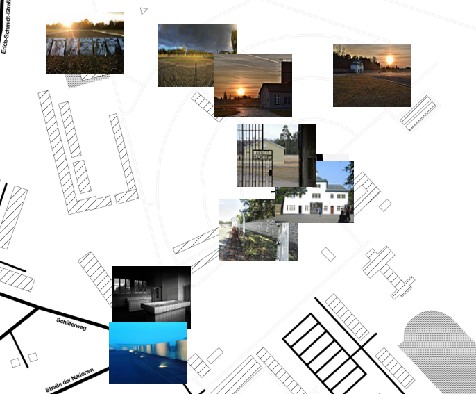
- Attaching Photos to Maps
- Useful Plugins
Here you get to the general “LearnOSM.org” homepage:
Learn OSM Homepage


