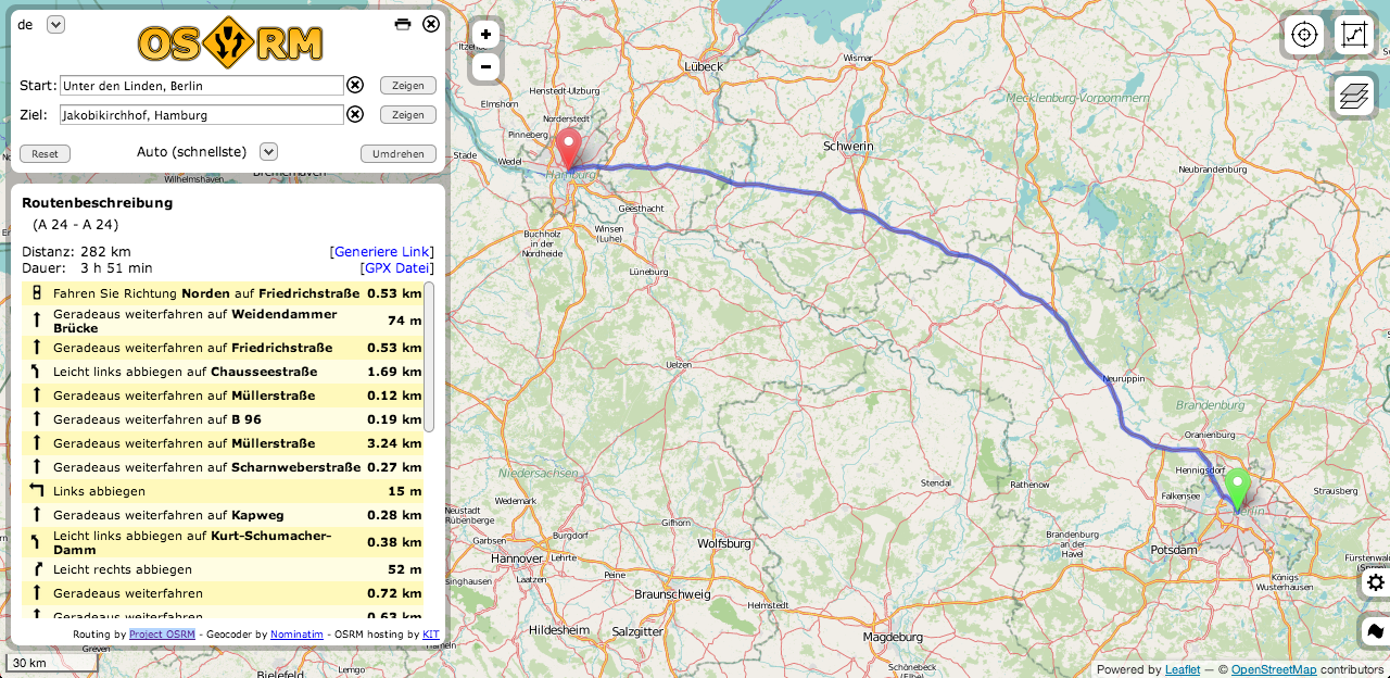
open navigation overview: 4 OSM routing services
Routing is one of the main tasks when using Google Maps and co. Some systems are directly inserted into cars, some others should show us practical routes to…

Routing is one of the main tasks when using Google Maps and co. Some systems are directly inserted into cars, some others should show us practical routes to…
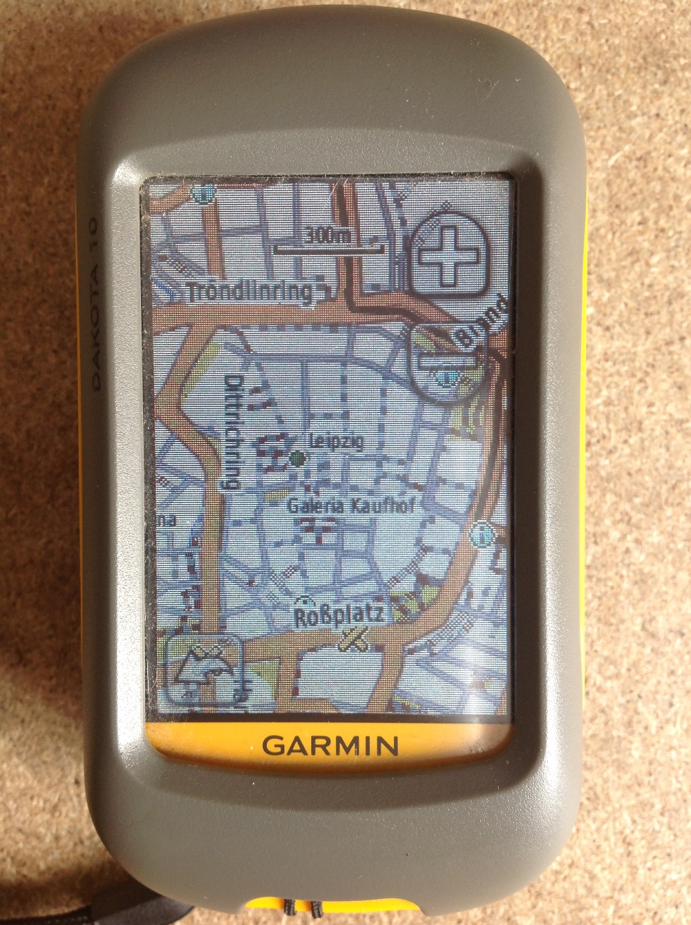
Since most people working with digital-data they are always interested in obtaining their own data using a Global Positioning System (GPS). Therefore I’ll give a short introduction for all…
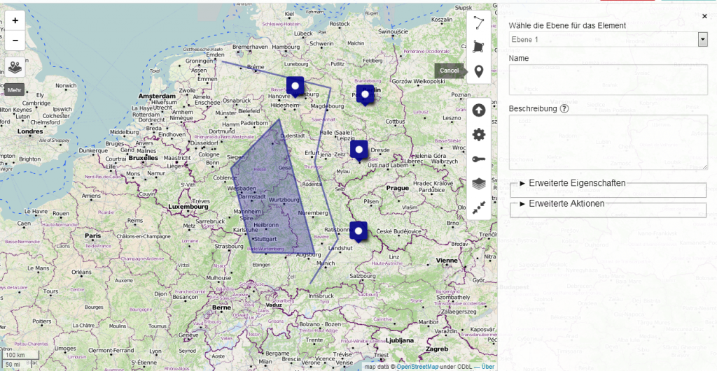
Creating maps is the most appropriate way to present spatial data. In the last years several methods appeared to generate such webmaps. Based on a tile-layer, wich contains…
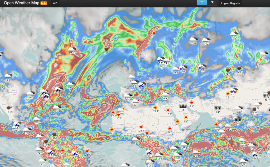
It’s snowing here in Berlin. And I already thought, that we wouldn’t have any white color out there before Christmas Eve. In order to check the weather forecast…
You probably already referenced maps with written coordinates but using photos or images is a little different as you need some characteristic points so you can control the…
Thanks to the Twitterline of @directionsmag I’ve seen this new beautiful tiled WMS: OSM roads (new)