When I started to work on
QGIS2leaf about one year ago it was a nice idea and my first real dive into Python programming and using the possibilities of pyqgis. So what is the current state and where are we going? Please, come and take a look: Happy Birthday QGIS2leaf!
QGIS2leaf – Current Usage
After some commits to QGIS2leaf
Tom Chadwin from the
North Umberland National Park joined the short list of contributors to the plugin and the whole thing got some drive. As far as I know the UK
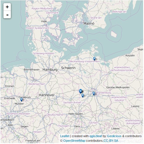
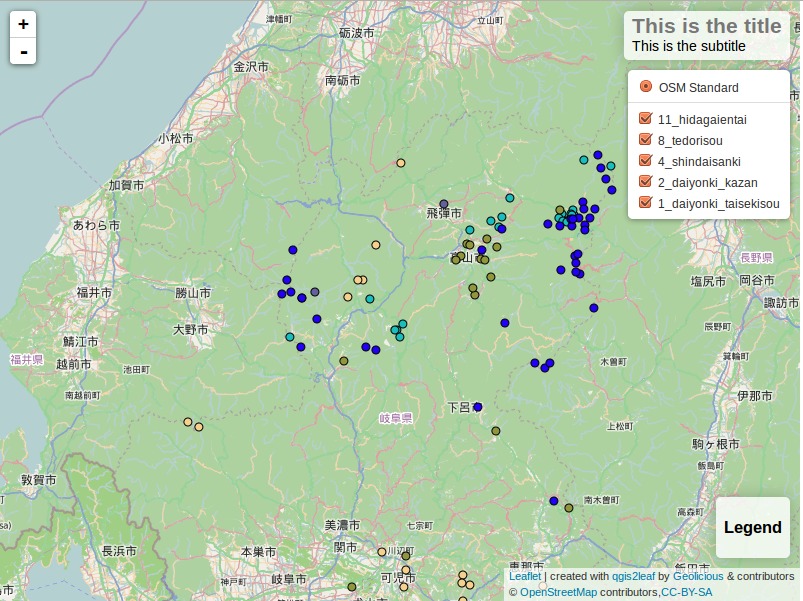
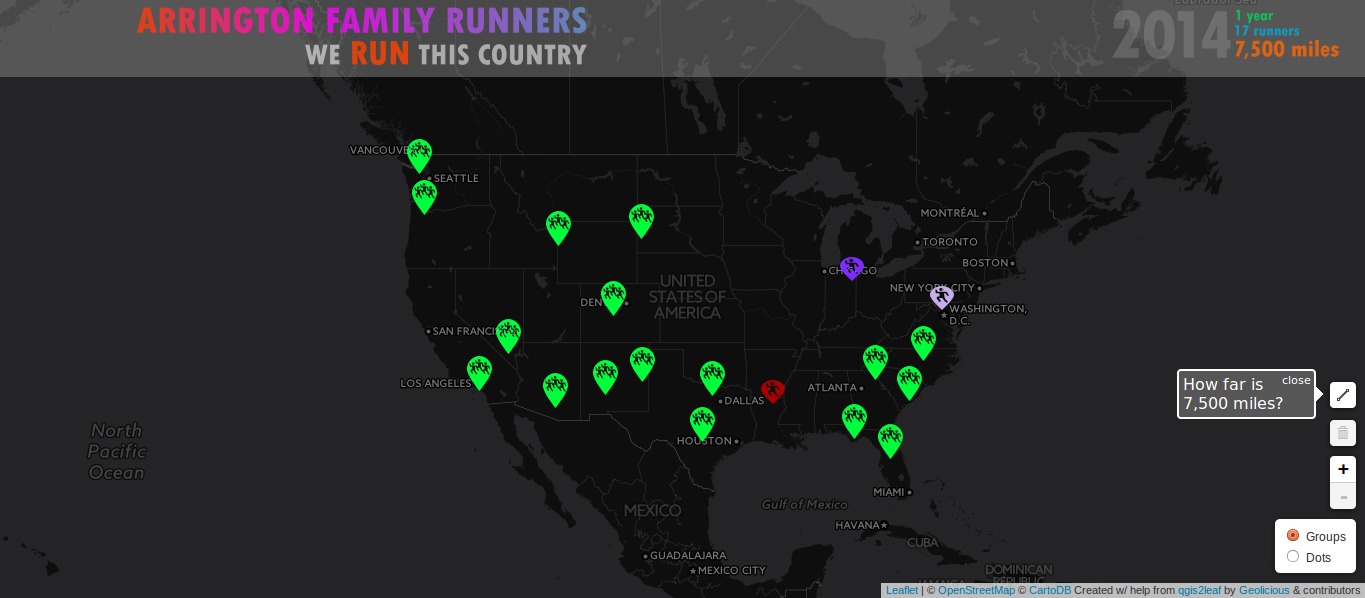
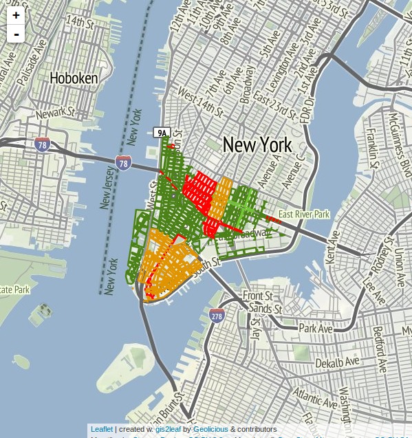
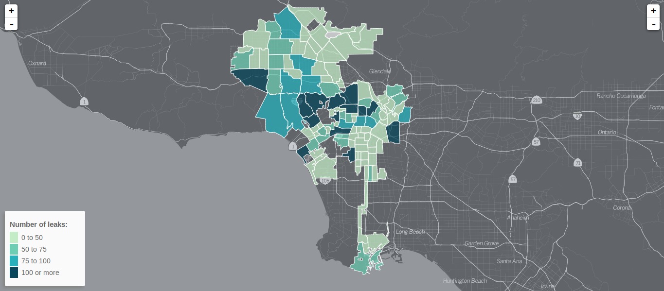
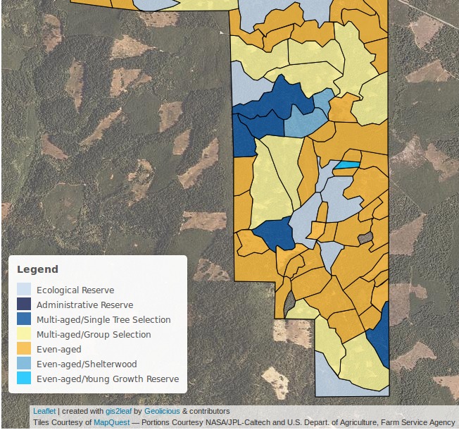
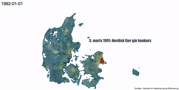
National Parks decided to work on and with QGIS2leaf as the preferred way to publish QGIS projects on websites. Besides this organization there are several other webmaps published on the web which were created with QGIS2leaf. Some of them are rapid prototypes (QGIS2leaf was meant to work like this 😉 ) and some others are heavily altered webmaps based on the output of QGIS2leaf:
I am impressed on the wide-spread of the plugin after one year: 25.000 downloads and many users all around the world.
QGIS2leaf: Capabilities
I started the plugin with a simple export of points, lines and polygons to geoJSON and embedding those in a leaflet based webmap. At the current version 1.5.2 and thanks to Tom and the UK National Parks as well as the
Social Planning Council of Ottawa the plugin can do much more:
- embed of WMS/WFS layers
- legend creation for your webmap
- cluster functionality for points
- address search in your webmap
- labels on hover
- raster export (as png with opacity!!!) and opacity control
- auto locates on your device
- customizable and multiple basemap selection
- save and restore your export settings
- smaller geoJSON outputs
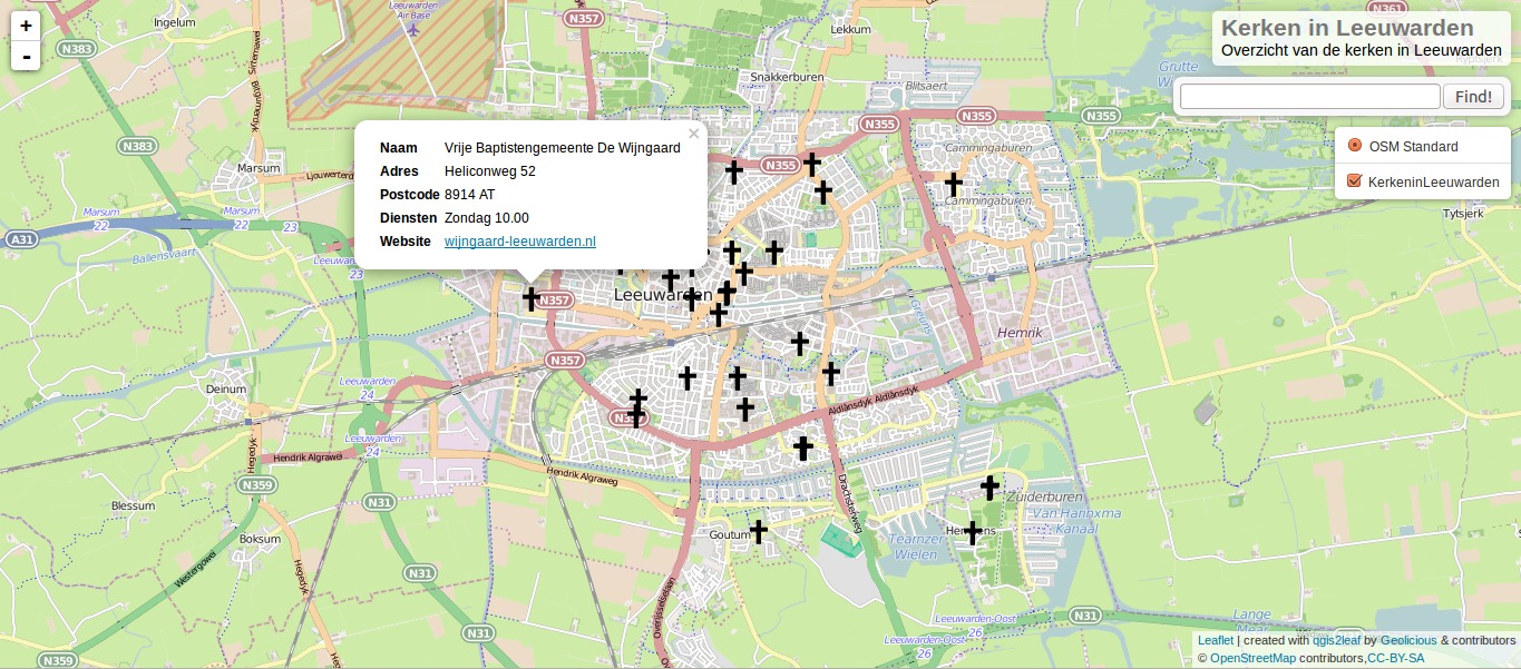
If you want to try it out for yourself. You can find some example project
here. And here is the export:
QGIS2leaf: the Future
QGIS2leaf will have a future. To what extend is unclear! Of course the community will try to fix current issues (which are a lot 😉 ) and will try to increase functionality but we are probably on a turning point. ATM Tom started to work on
QGIS2web which tries to be a hybrid of
qgis-ol3 (the openlayers exporter from Victor Olaya) and QGIS2leaf. There is plenty of work to do: Please take an active part and try the current experimental release of the plugin and report any issues you find as well as try to contribute to QGIS2web!

😉
All the best..
Thank you for all you did, you made a very convolute process in an immediate and automatic one. Every new release brings new features and they are chosen wisely.
But there is something I don’t like, putting style description inside single features. Style should be style, if I need changing it, I should be able to modify only in one place. Maybe putting it as a conditional feature at the end of the json features could be an improvement, but I think you may have even better ideas.
You’re right! Please create an issue and we might change it or implement this advice in qgis2web.
Picture What is happening at the expo2015 Milan? awesome #qgis2leaf http://goo.gl/CSGTbD
qgis2leaf is helping me to build webmap apps, it’s great