GIS with javascript – tutorial part 1
An article from Anders. Geodata in javascript GeoJSON is the standard way of storing geodata in JSON, javascripts native data format. The wikipedia article has very clear and…
Since 2007 I'm focused on Geography, GIS and remote sensing issues. In 2011 I founded geo-works.de, a german language geoblog. 2012 the blog was merged with geo-affine.org and now contains bilingual content. With new ideas and impetus I try to combine GIS-stuff with originary geographic thoughts, also in business projects.
An article from Anders. Geodata in javascript GeoJSON is the standard way of storing geodata in JSON, javascripts native data format. The wikipedia article has very clear and…
Typically GIS and geodata nerds are male. Anyhow, 99.9 % of our contacts, freelancer sign ups, comment writers here on the blog are boys. But where are the…
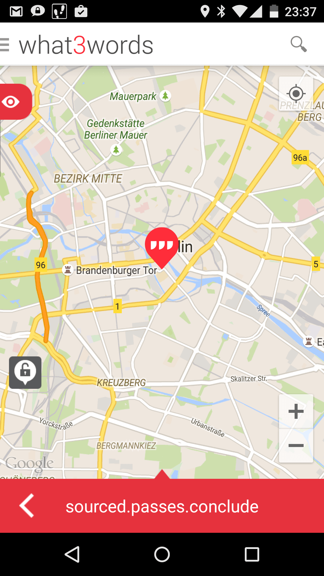
A few days ago I saw an announcement about what3words, a new startup which claims to have invented the simplest way to communicate a location. This statement forced…
In the past I’ve learned one thing: the only chance to do efficient geodata-projects is to have a clean data structure.
In this post I’ll show you some tools and share my thoughts about organizing (geo)data to have more efficient project-workflows. After that I would be very interested in your solutions and approaches to do smart data-projects.

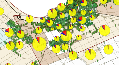
To map excel data onto a print- or webmap is one of the most needed and chosen data preparations. Companies and scientists are often highly interested in located…

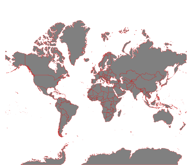
OpenStreetmap is the fastest growing community mapping project of all times. Beside the “normal” map result, what you can use for your daily navigation through cities and countries…
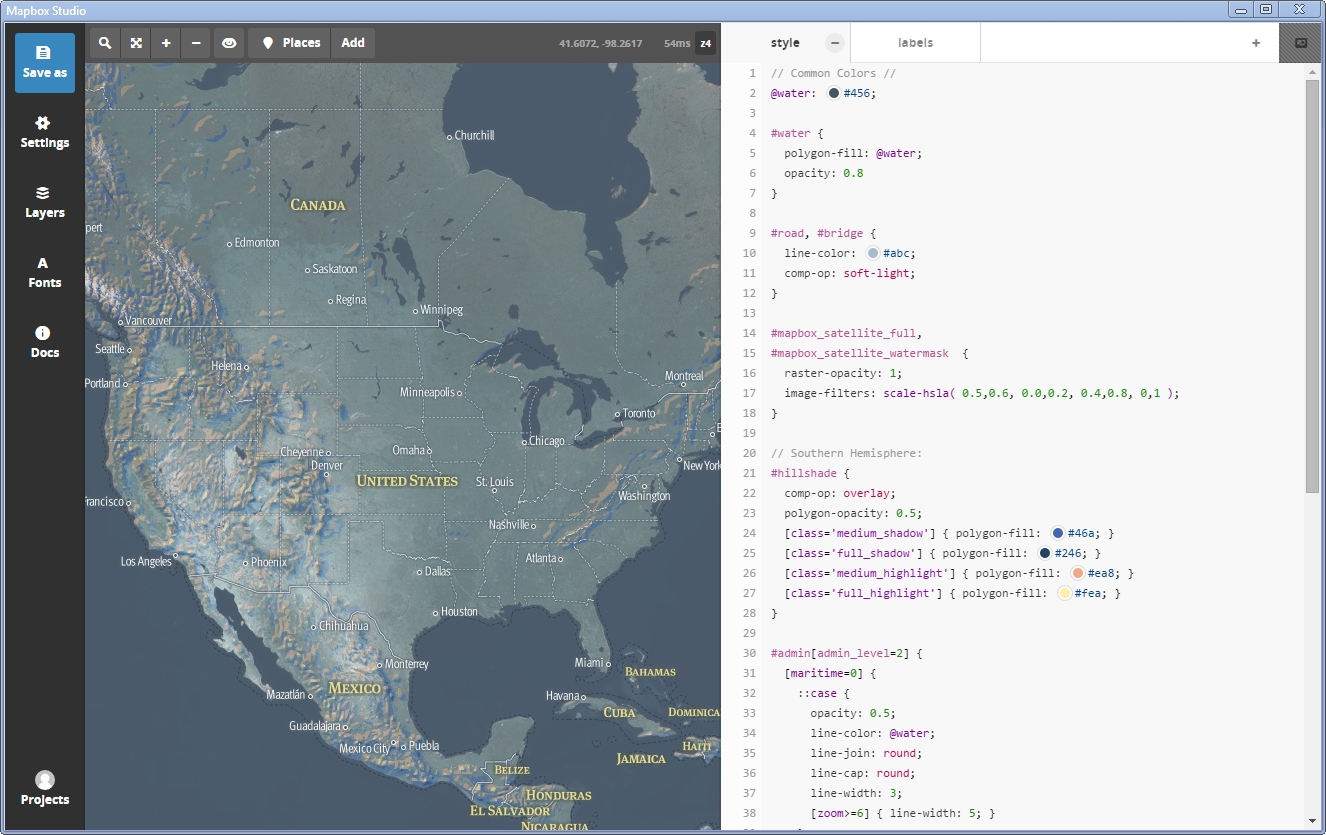
The new Mapbox Studio was unveiled and we want to give you a first tutorial to master the installation, understand the GUI and create your first map.
Digital’s digest – This new post series gives you a weekly overview about new exciting geo-, project- and gis-links. We should write about a special link? Please submit…
digital’s digest – what’s this? Every week I visit a lot of webpages related to geographic, mapping and other “Digital-Geography.com”-stuff. I’m afraid I cannot write full-size articles about…
This is the first digital-geography.com tutorial for setting up an initial webmap with D3.js-JavaScript library by Mike Bostock.
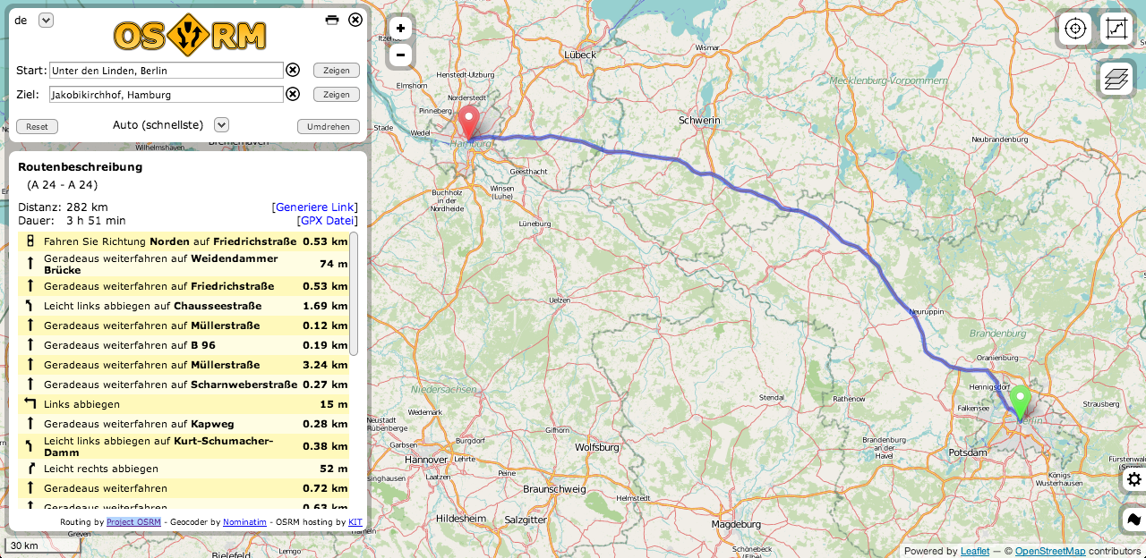
Routing is one of the main tasks when using Google Maps and co. Some systems are directly inserted into cars, some others should show us practical routes to…
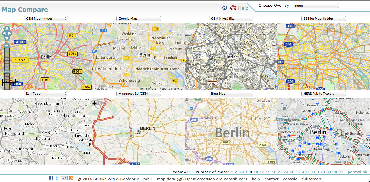
Driven of the high usability of webmaps for companies and projects, many background-styles are available online. The existing styles can be easily implemented in your own project-map. Depending…