Tag: OSM

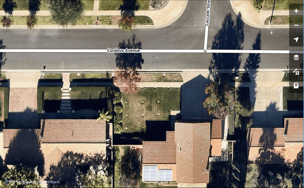
Short Announcement: ESRI World Imagery Basemap now open for OSM Mapping
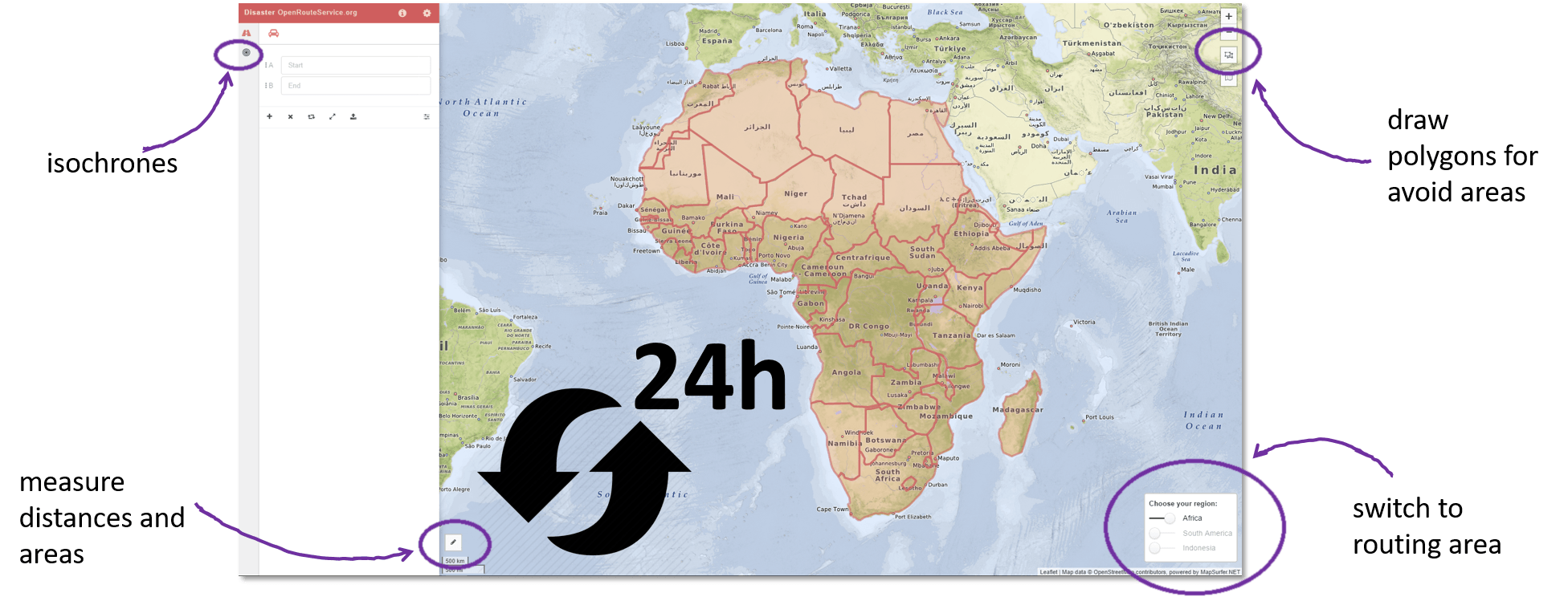
Supporting humanitarian logistics with OSM in a more sustainable way: New Disaster OpenRouteService for Africa, South America and Indonesia
Recently HeiGIT @ GIScience Heidelberg released a dedicated stable disaster versionof OpenRouteService (ORS) to support humanitarian logistics within specific regions of catastrophes with data from OSM in a more sustainable…
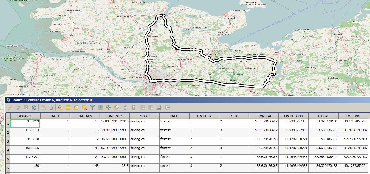
Short Announcement: New OSM routing plugin for QGIS OSM Tools
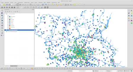
Import OSM Data Into A PostGIS Database (The Easy Way)
I often find myself in a situation where I want to work with large areas and datasets of OpenStreetMap data. No matter if you want to use them…
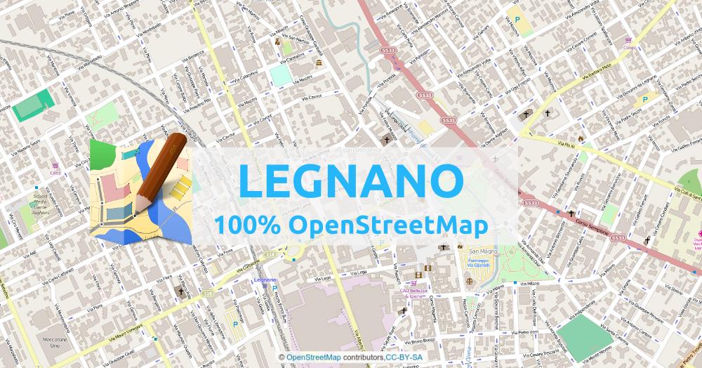
Map a whole city with OpenStreetMap
One day last month, I came back to OpenStreetMap, to see how the city of Legnano (city of 60k people – near Milan – Italy) was mapped. I knew I…
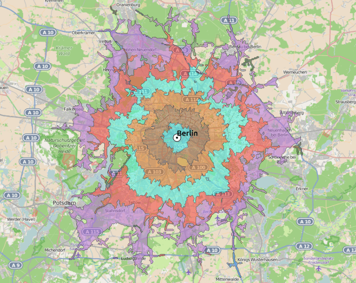
How far can you travel? Answers in QGIS with OSM route.
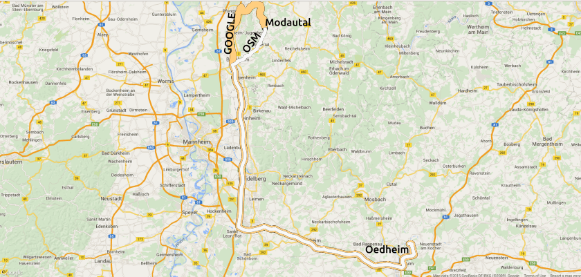
Routing in QGIS… with OSM
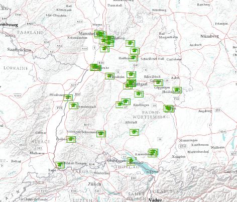
Geocoding Addresses in ArcGIS: the other approach

How to use OpenStreetMap, guides for beginners and advanced users on LearnOSM.org
OpenStreetmap is the fastest growing community mapping project of all times. Beside the “normal” map result, what you can use for your daily navigation through cities and countries…

digital’s digest – 37/2014: compare google with OSM, balloon and kite Mapping, rectify maps online, load OSM tiles in QGIS, High Road OSM filter
Digital’s digest – This new post series gives you a weekly overview about new exciting geo-, project- and gis-links. We should write about a special link? Please submit…
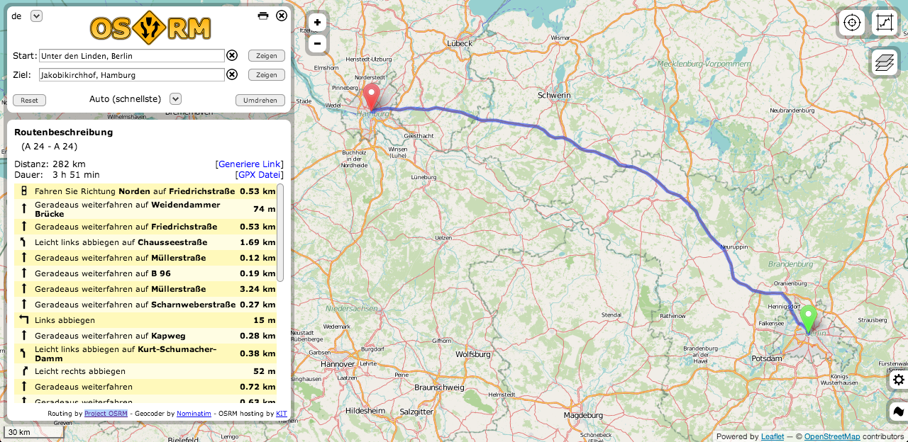
open navigation overview: 4 OSM routing services
Routing is one of the main tasks when using Google Maps and co. Some systems are directly inserted into cars, some others should show us practical routes to…