Category: PostGIS

Short Note: export layers to PostGIS with Processing
PostgreSQL and PostGIS: A brief introduction
How to organize geodata storage?
In the past I’ve learned one thing: the only chance to do efficient geodata-projects is to have a clean data structure.
In this post I’ll show you some tools and share my thoughts about organizing (geo)data to have more efficient project-workflows. After that I would be very interested in your solutions and approaches to do smart data-projects.

How to use OpenStreetMap, guides for beginners and advanced users on LearnOSM.org
OpenStreetmap is the fastest growing community mapping project of all times. Beside the “normal” map result, what you can use for your daily navigation through cities and countries…
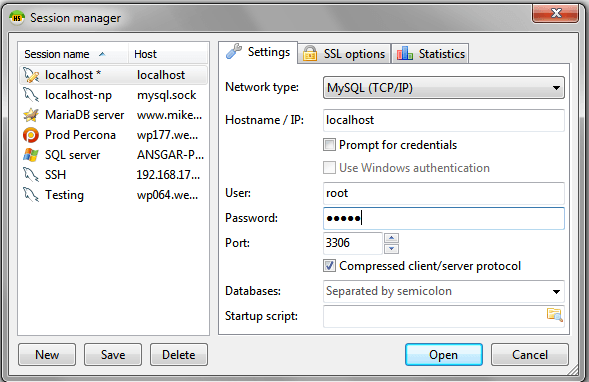
HeidiSQL vs. pgAdmin III – a small speed-test
HeidiSQL, a free database-client, now supports PostgreSQL/PostGIS in the newest nightly builds. Using HeidiSQL with MySQL was always a pleasure and I often had the feeling that the…

OpenSource QGIS + PostGIS installation: “the Windows way”
A short time ago I’ve posted an article on the installation of QGIS in combination with a PostGIS database in the background. As we all know, Windows is…
OpenSource QGIS + PostGIS installation: “the Ubuntu way”
A lot of you out there are probably working on Windows Systems using ArcGIS and I have to admit that the possibilities with ArcINFO in the background and…