Category: Studies & Basic Concepts

Off Topic: self hosted GIT-server with Bonobo

Using the Google Earth Engine (GEE) for Detection of Burned Areas
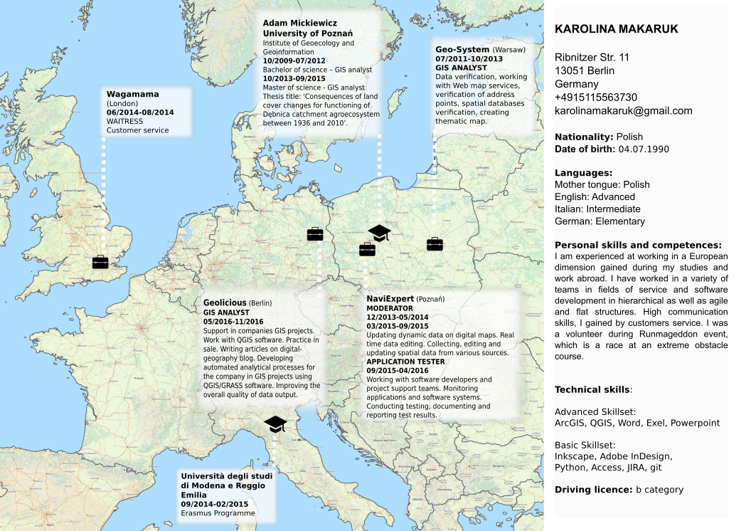
Map your CV
Probably everyone at least once in your life was searching for a job and had faced the challenge of creating an interesting resume. But when you start to…
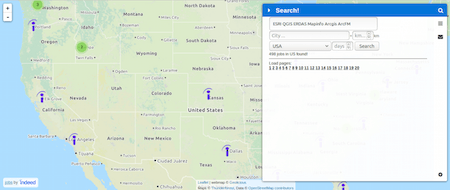
5 ways to get a job in the “geo-industry”
Studying geosciences, geography or geology and all related disciplines commonly ends in the question of appropriate job position. Personally I felt very lucky about my former studies in…
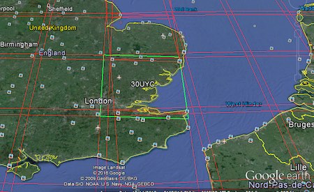
Accessing Landsat and Sentinel-2 on Amazon Web services
The cloud has made it easier to process large amount of data, and satellite imagery processing benefits from cloud processing too. One of the cloud services that offers…
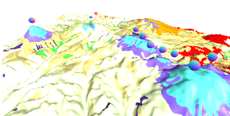
Topography and Bathymetry: GDAL to the rescue
What’s GDAL? GDAL is the Geospatial Data Abstraction Library, it’s a library to transform raster and vector data and it’s the Swiss Knife of GIS. Topography and bathymetry…
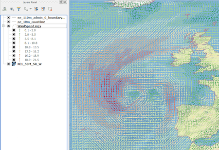
From Cloud to GIS: Getting Weather Data.
Introduction In this post we are going to look at how to get weather forecast data and display it as a layer in a desktop geographical information system…
ERDDAP: Diving into a Data Ocean
Data Lakes has become a popular term in the Big Data community. It’s used to refer to a large storage repository and processing engine. However there is now…
GIS with javascript – tutorial part 1
An article from Anders. Geodata in javascript GeoJSON is the standard way of storing geodata in JSON, javascripts native data format. The wikipedia article has very clear and…
Pixel Map Generator
