Once again I switched from Windows back to Ubuntu as I only needed Win for my granted ESRI license but hated to be “interrupted” by automatic updates, missing dll libraries and crashing flash container plugins on Firefox. So now I am building my personal computational slave once again based on Ubuntu and wanted to share with you my list of applications that I need for my daily work with geodata, matrices, graphics, cartographic outputs and statistical analysis.
I am using it mostly in a non-desktop way: in the train, on the airport/airplane, shared desks and so on.
The Usage Scenario
I am mostly working with geodata:
map design
ETL (extract, transform, load) tasks
geodata acquisition
geostatistical analysis
webmap production
My second major work is related to programming:
coding
GUI design
general design
hosting
database work
Looking at this short list you might get an idea about my software stack. So let’s check your thoughts:
The Application List
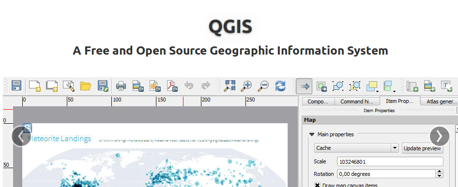
QGIS– for my major GIS work. Supports nearly anything with its Python backend
PostgreSQL with postGIS extension – data mart for my daily tasks and webmapping projects
RStudio – a GUI for the statistical, functional language R with syntax highlighting, package support, embedded pictures and visual log to do analysis on my spatial data
Filezilla – a FTP client to connect with ftp data providers and to the digital-geography.com servers
Inkscape – an editor for vector graphics. Useful in final level map production as well as marker/pin designs
Gimp – always good for image enhancement and maybe broader image related work
Libre Office – a good office package. For simple forms/graphics I use Libre Office Impress a lot!
Knime – for automated tasks when it comes to geocoding addresses from a file or reprojecting coordinates in a xls file
Sublime3 – I love a good editor which supports any coding style
Virtualbox – to host my Windows installations and my portable servers
Tilemill – to create my own tiles for stunning webmaps
custom tiles with tilemill
So this was probably more GIS/every day applications. As we are working on qgis2leaf and some other software I also need something for development:
I also used pycharm a while ago, but I like sublime as it supports all other scripting languages as well 😉 Of course pycharm support html, css and JS but what about R, Matlab and Markdown?
Agreed. Sublime has been my favourite editor since I have mainly worked in MATLAB and C++. I quit MATLAB in a sprit of FOSS and I ended up with Pycharm (Python) and QtCreator( C++). I Occasionally use it for Octave as well. This combination is boosting my speed by several times and I am happy with it but this might be different for others.
Chk.
9 years ago
FileZilla bundles adware with its installer these days, I check out WinSCP. Especially if you are dealing with Linux/SSH accounts from time to time as well.
Ruben Remelgado
9 years ago
For me idl is a necessity for multiple tasks, from image analysis to statistical analys and report generation. I find that R is useful for a lot of similar tasks anf it is definetely a lot easier to use. Since a lot offspatial analys tools are already implemented the coding effort is minimal. But it is far less powerfull for image processing at the moment. Idl has long years of work built into it for this purpose. Also, wthe increase in data size, hardware specifications tend to increase. In my previous job i was relying in a 8 core 32gb… Read more »
And if you need to layout a brochure or blurb it’s hard to go past Scribus. It gets a lot of use on my OpenSUSE GIS workstation …
pimplbe
9 years ago
How steep is the learning curve with KNIME ? It looks like a useful tool but reminds me of WEKA
(what scares me ;>) with its Java backend and the graphical interface.
Hansinger
9 years ago
i can recommend SADA for geostatistical analysis, especially indicator kriging… as far as i know this is the easiest way to do indicator kriging which is important for regionalization of non normal distributed data … they got a pretty nice support and an awesome documentation
As a long time linux user, apart of most of yours I use:
– Terminator as my terminal emulator, lots of features
– Python virtualenvironments to isolate projects and a bigger “datasci” environment
– iPython for prototyping, simple scripting, webscrapping, and much more
– Lots of small unix-style pieces to pipeline pieces like old grep and awk but also some new like jq, xml-json, csvlook, etc
– Shutter to do and edit screenshots
– Hamster to track my time
Jesús DC
9 years ago
It´s nice to know how colegues work! very useful for me. Thanks +Riccardo!
Today QGIS 2.0 was officially released and we will come up with several tutorials in the next weeks. First of all: the installation. As we are fans of…
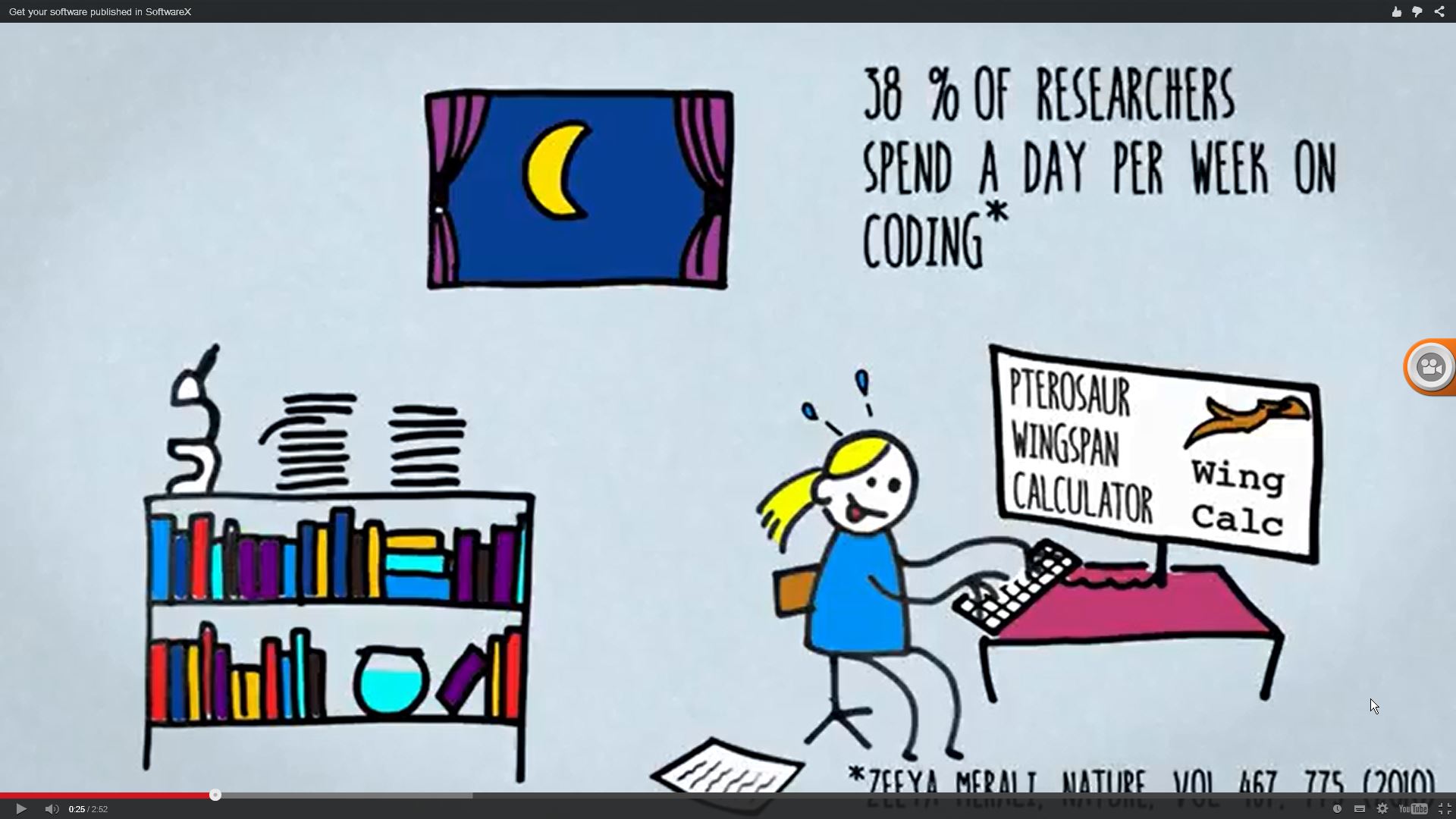
Thanks to a recent post in the Geoscience and Remote Sensing group on Facebook I discovered SoftwareX. SoftwareX is a new journal from the Elsevier. It focusses more…

Pycharm is a great tool. I second Sublime3 to Pycharm otherwise your list is not different than mine. 😛
I also used pycharm a while ago, but I like sublime as it supports all other scripting languages as well 😉 Of course pycharm support html, css and JS but what about R, Matlab and Markdown?
Agreed. Sublime has been my favourite editor since I have mainly worked in MATLAB and C++. I quit MATLAB in a sprit of FOSS and I ended up with Pycharm (Python) and QtCreator( C++). I Occasionally use it for Octave as well. This combination is boosting my speed by several times and I am happy with it but this might be different for others.
FileZilla bundles adware with its installer these days, I check out WinSCP. Especially if you are dealing with Linux/SSH accounts from time to time as well.
For me idl is a necessity for multiple tasks, from image analysis to statistical analys and report generation. I find that R is useful for a lot of similar tasks anf it is definetely a lot easier to use. Since a lot offspatial analys tools are already implemented the coding effort is minimal. But it is far less powerfull for image processing at the moment. Idl has long years of work built into it for this purpose. Also, wthe increase in data size, hardware specifications tend to increase. In my previous job i was relying in a 8 core 32gb… Read more »
And if you need to layout a brochure or blurb it’s hard to go past Scribus. It gets a lot of use on my OpenSUSE GIS workstation …
How steep is the learning curve with KNIME ? It looks like a useful tool but reminds me of WEKA
(what scares me ;>) with its Java backend and the graphical interface.
i can recommend SADA for geostatistical analysis, especially indicator kriging… as far as i know this is the easiest way to do indicator kriging which is important for regionalization of non normal distributed data … they got a pretty nice support and an awesome documentation
As a long time linux user, apart of most of yours I use:
– Terminator as my terminal emulator, lots of features
– Python virtualenvironments to isolate projects and a bigger “datasci” environment
– iPython for prototyping, simple scripting, webscrapping, and much more
– Lots of small unix-style pieces to pipeline pieces like old grep and awk but also some new like jq, xml-json, csvlook, etc
– Shutter to do and edit screenshots
– Hamster to track my time
It´s nice to know how colegues work! very useful for me. Thanks +Riccardo!