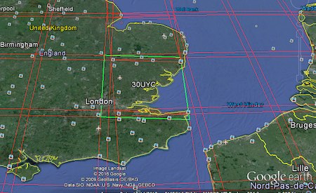
Accessing Landsat and Sentinel-2 on Amazon Web services
The cloud has made it easier to process large amount of data, and satellite imagery processing benefits from cloud processing too. One of the cloud services that offers…

The cloud has made it easier to process large amount of data, and satellite imagery processing benefits from cloud processing too. One of the cloud services that offers…

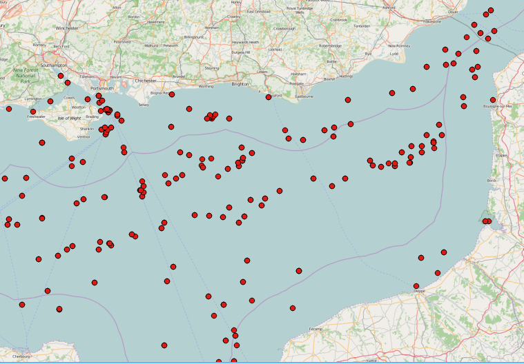
SAR images can see through clouds and in darkness, and are therefore very useful for operational monitoring of our seas. Detecting ships, icebergs, wind patterns, and oil spills…
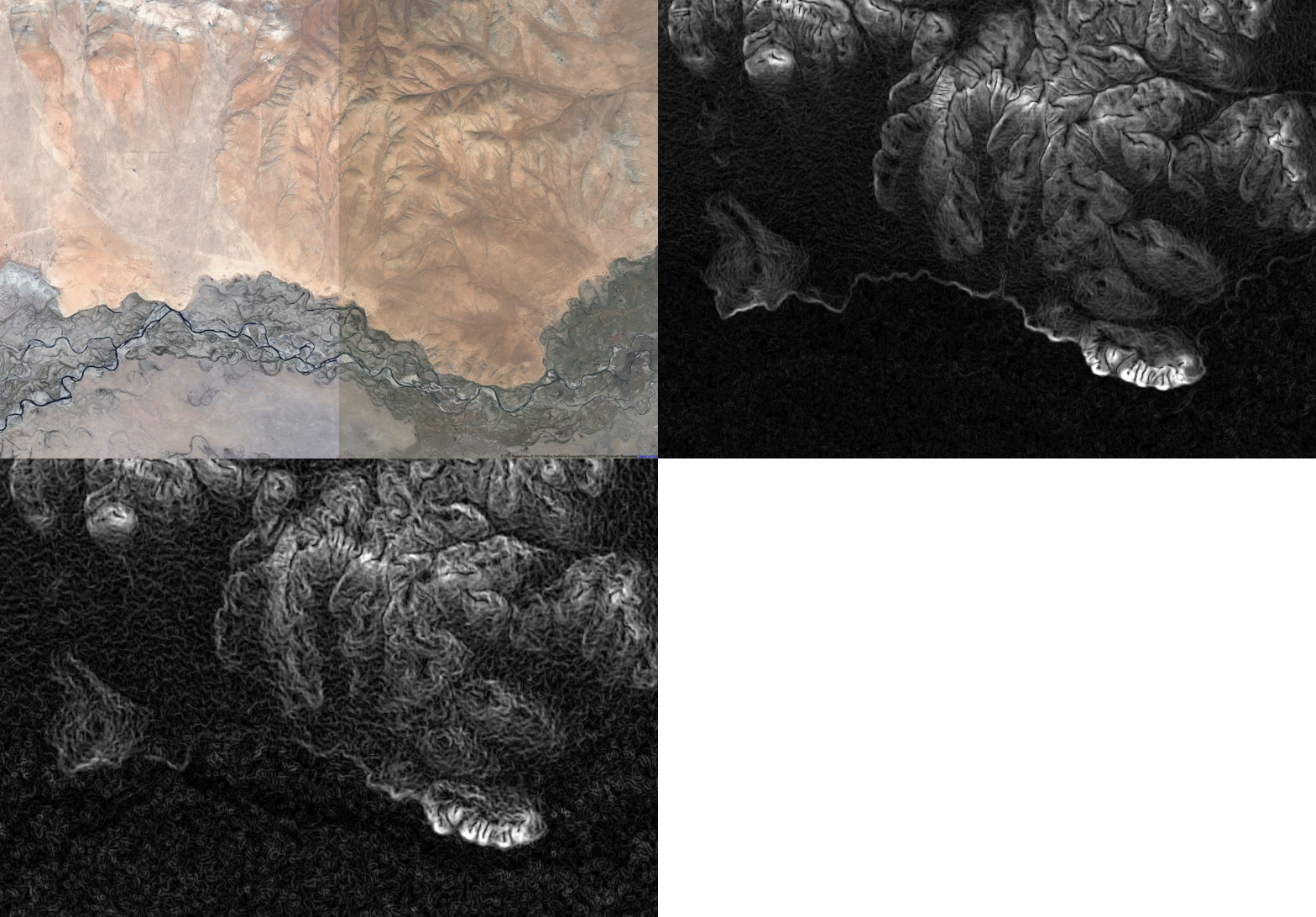
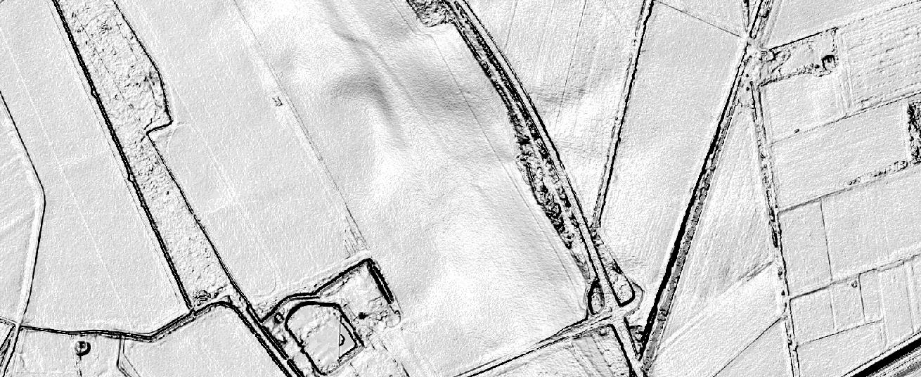
The Ordnance Survey is UK’s mapping agency and frequently releases free datasets. Their OpenData policy is quite progressive compared to Germany’s and they’ve recently published some fresh datasets…

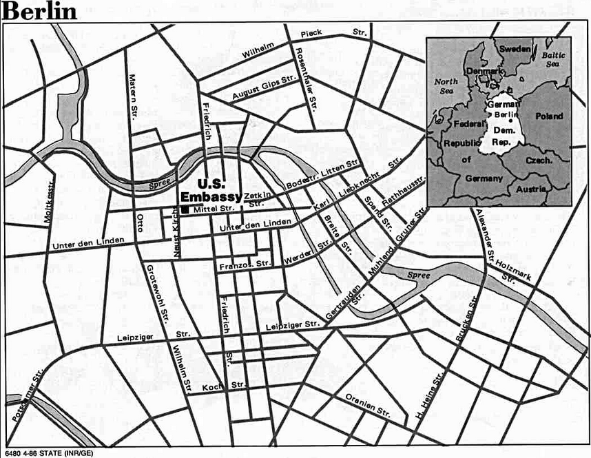

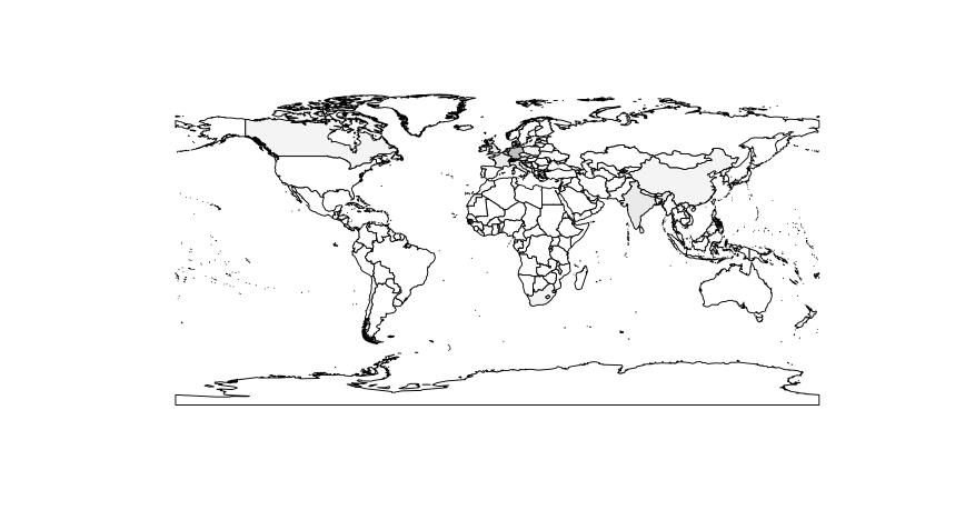
Coursera, hail to Coursera. Despite the uprising criticism on MOOCs and their footprint in the educational landscape at universities Coursera created an interesting R learning course. It is…
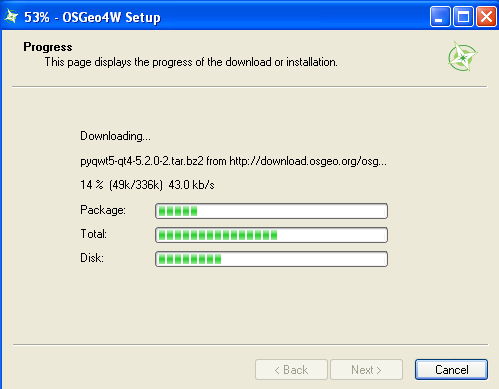
The installation of QGIS 2.0 is fairly easy on Ubuntu but much easier using Windows as an operating system. The installer is very handy and is provided by…
Thanks to @seandebasti who enjoyed this year’s “Society of Cartographers Annual Conference” at Staffordshire University who send us a short link on Twitter. The link provides a huge…
The digital map collection of the Perry-Castañeda library (University Texas) is a free map download source. For many countries you can get map data right online. Besides current…