Short Announcement: New Sentinel Cloudless Atlas
Mapbox created a cloudless Landsat map in 2013. That was a huge step for all the webmapping enthusiasts as we got a composit image of the world with…
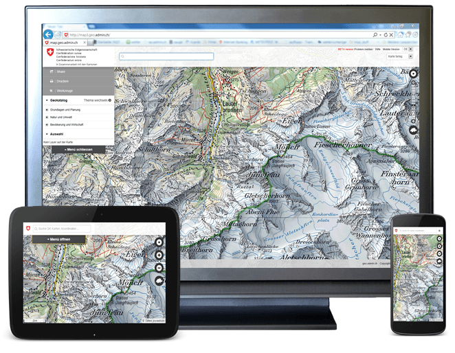
A priorized project of eGovernment Switzerland Usage and exchange of geodata is fostered by geo.admin.ch in a significant way. The Federal geoportal is operated by the Federal Office…
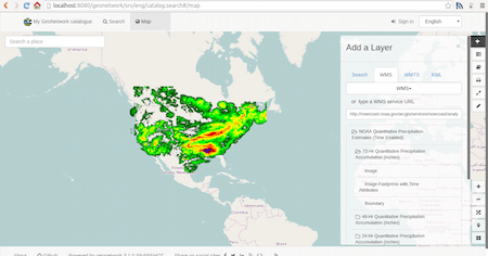
Folks, have you ever questioned yourself how to show a shapefile or your own geotiff on a webmap as a WMS or WFS? MapServer is one thing to…
Thanks to the Twitterline of @directionsmag I’ve seen this new beautiful tiled WMS: OSM roads (new)
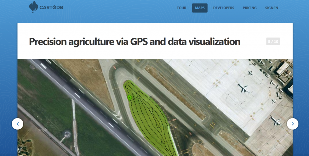
As we are running several projects besides this blog we ran across CartoDB. CartoDB is more or less a nice GUI that serves you either a table of…
In the first two parts in our series on “getting to know openlayers” we concentrated on the question on layer consumption in form of basemaps and labels. We…
In my recent articles I was writing some hints and tutorials for creating a webmap. So what is the basic concept behind it and what are the possibilities.…