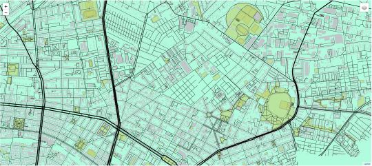
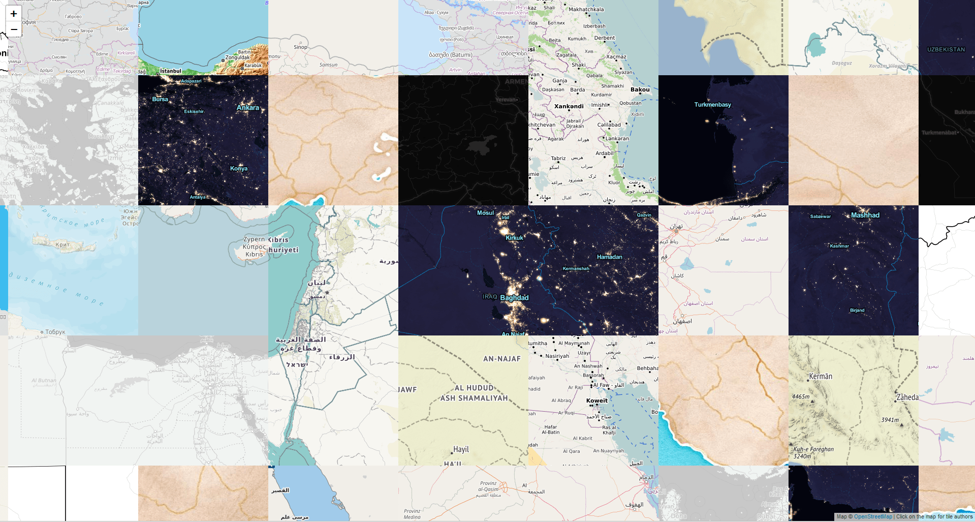
Create your own vector basemaps the easy way
Basemaps are a web cartographers best friend, aren’t they. There are plenty of them online, ready to be embedded in your upcoming nice web map application. In this…
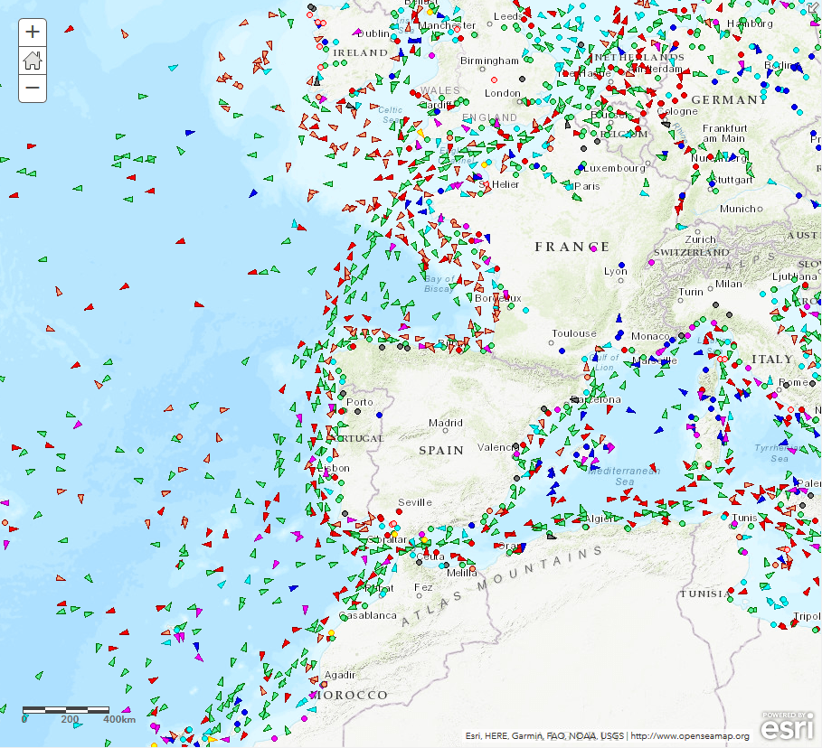
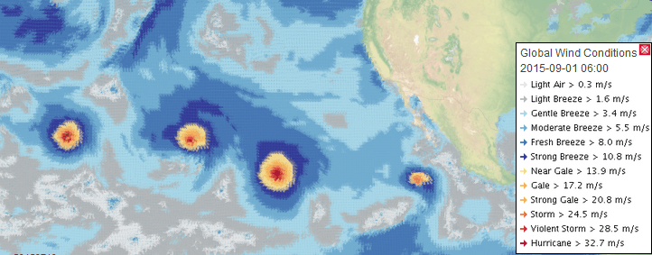
Introduction In my previous two posts I introduced the Cloud based data broker technology ERDDAP and demonstrated how one can use it to obtain geo-spatial scientific environmental data:…

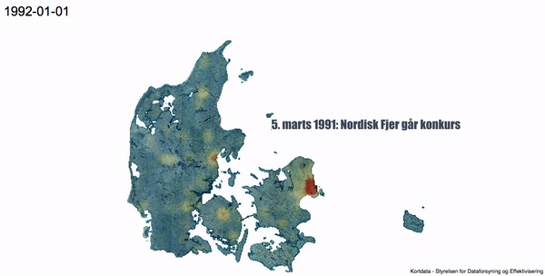
What if you want to build your own webmap on your WordPress blog without any knowledge about javaScript, frontend web development and geojsons? You can use a plugin!…