
Some ways to produce topographic swath profiles
For a geomorphological study that I am working on I want to produce topographic swath profiles across a mountain range, that is, I want the average elevation along…

For a geomorphological study that I am working on I want to produce topographic swath profiles across a mountain range, that is, I want the average elevation along…
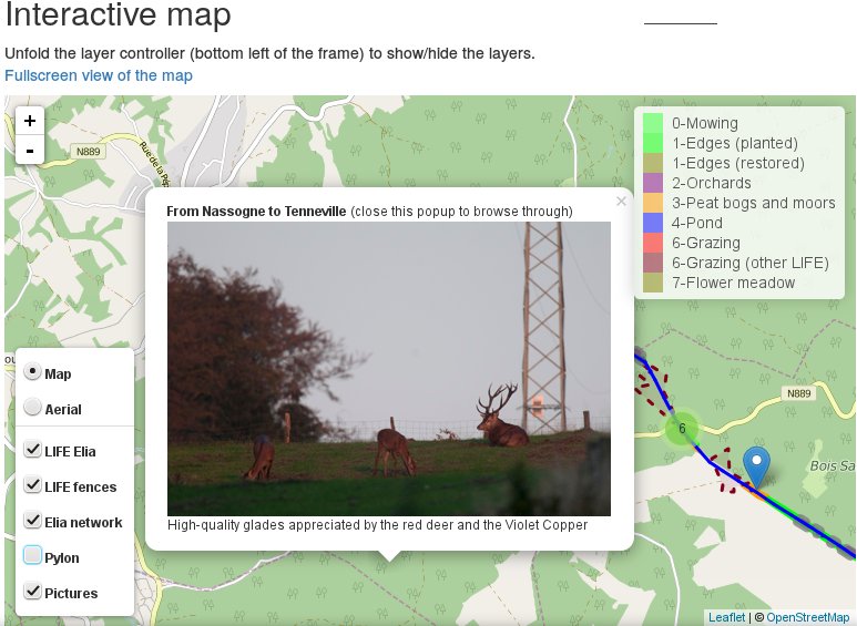
The goal of this post is to explain, based on practical examples from my professional activities, how I use QGIS, its plugin photo2Shape and the processing toolbox, together…
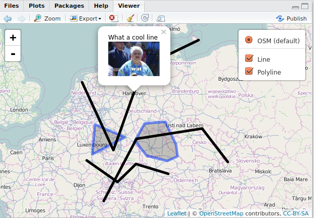
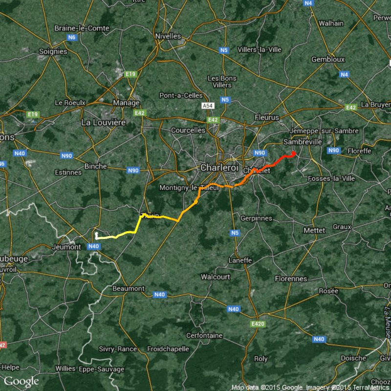
Why GPX? For what? It's convenient to record tracks of your hiking/field trips with the GPS of your smartphone, tablet or just GPS as .gpx files. You can…
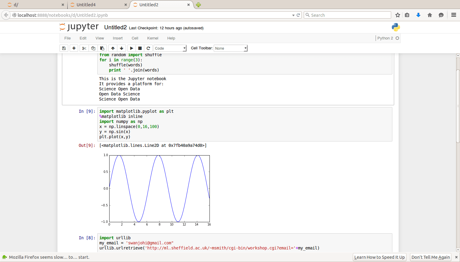
Data analysis in the modern-day computing industry is of great essence as the world tries to understand the data that has been accumulated in many systems across the…
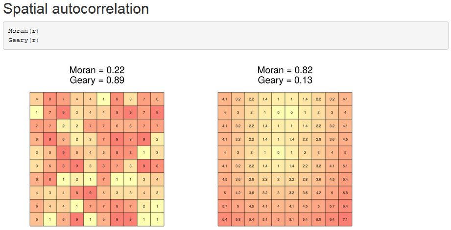
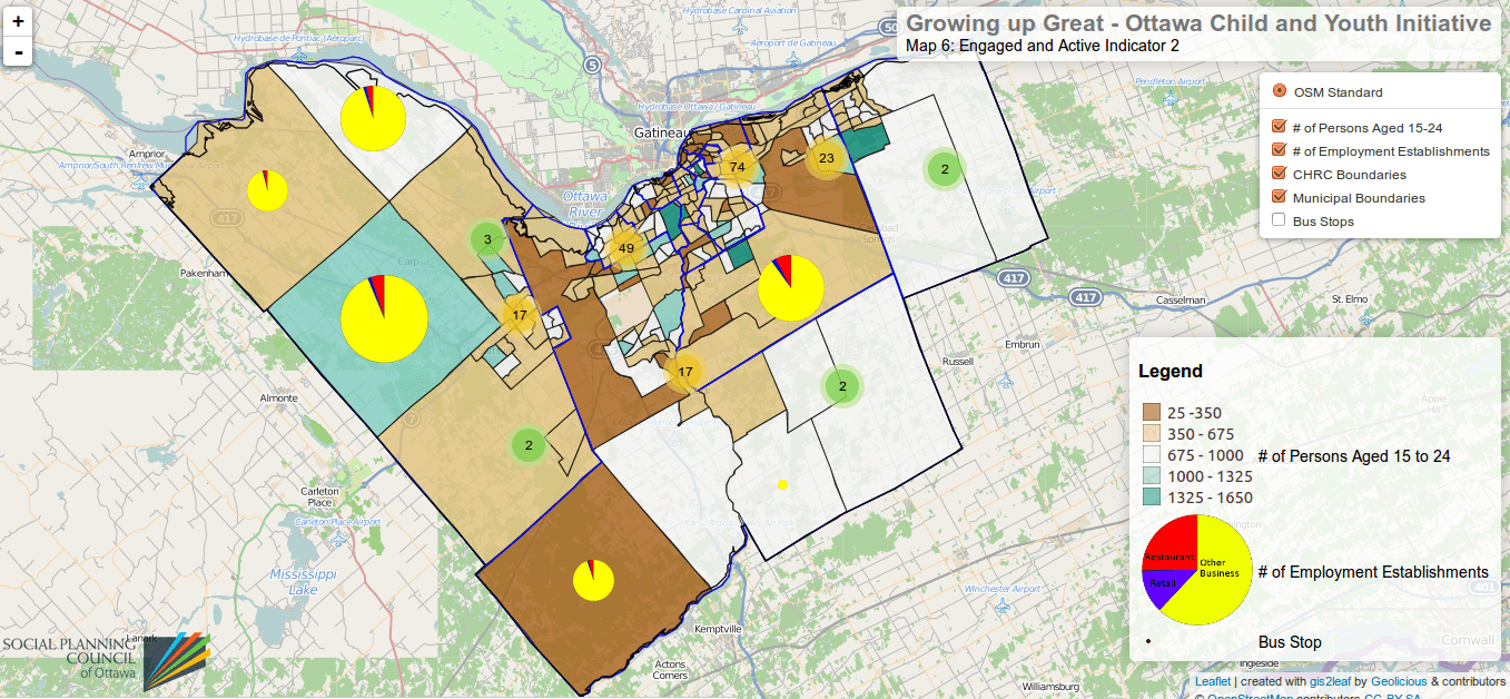
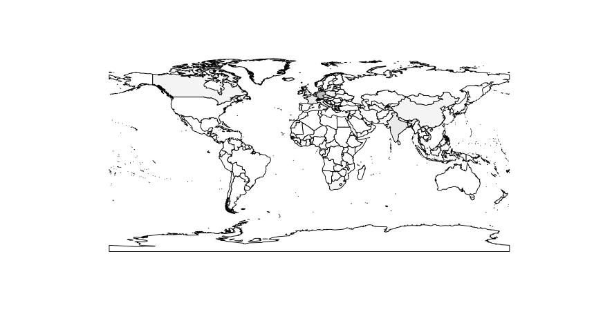
Coursera, hail to Coursera. Despite the uprising criticism on MOOCs and their footprint in the educational landscape at universities Coursera created an interesting R learning course. It is…
I love scripting languages like R, MatLab, Python and Javascript. They are easy to learn and also fast in showing your results. But when it comes to debugging…
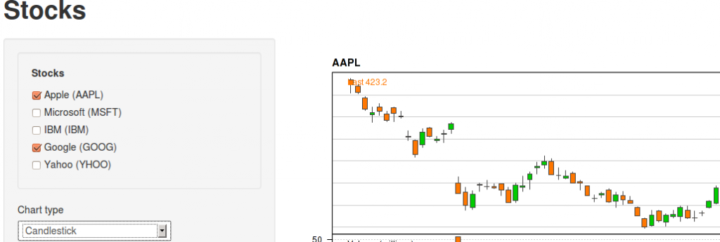
As i was preparing myself for getting funding for the trip to the R user conference this year in Albacete, Spain I was coming across a highlightning talk…
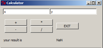
Due to an upcoming presentation about “what is R” and “what can I do with R” in my company I was playing around with GUIs as they are…
Thank’s to Andrej who wrote this comment: “Is it possible to to color the resulting 12 clusters within your original image to get a feel for visual separation?”…