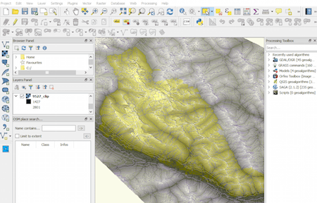
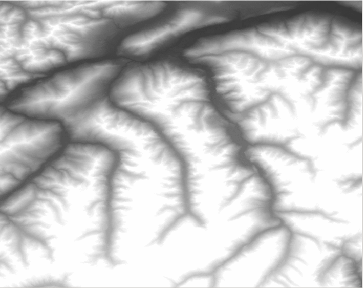
How to create mountain ranges in QGIS?
Last time we had the task to create mountain ranges polygons for the whole world. I prepared a small tutorial referred to that. Maybe you can find something…
Last time we had the task to create mountain ranges polygons for the whole world. I prepared a small tutorial referred to that. Maybe you can find something…
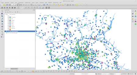
I often find myself in a situation where I want to work with large areas and datasets of OpenStreetMap data. No matter if you want to use them…
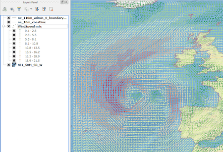
Introduction In this post we are going to look at how to get weather forecast data and display it as a layer in a desktop geographical information system…
SAR images can see through clouds and in darkness, and are therefore very useful for operational monitoring of our seas. Detecting ships, icebergs, wind patterns, and oil spills…
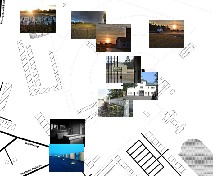

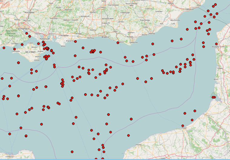
The goal of this post is to explain, based on practical examples from my professional activities, how I use QGIS, its plugin photo2Shape and the processing toolbox, together…
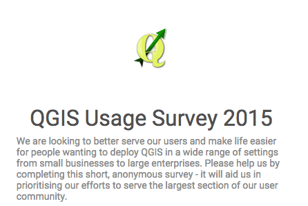
The free and open source gis QGIS started an user survey on its online webpage. The project needs your input to get the best necessary community information for…
Why GPX? For what? It's convenient to record tracks of your hiking/field trips with the GPS of your smartphone, tablet or just GPS as .gpx files. You can…