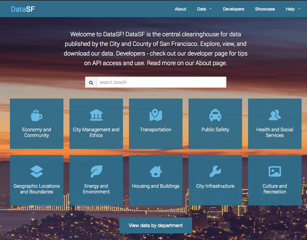
Map excel data for free – 5 steps to your own print- and webmap
To map excel data onto a print- or webmap is one of the most needed and chosen data preparations. Companies and scientists are often highly interested in located…
To map excel data onto a print- or webmap is one of the most needed and chosen data preparations. Companies and scientists are often highly interested in located…

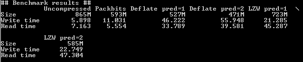
In remote sensing you often have to deal with large datsets because their spatial or temporal resolution is high. A typical Landsat 8 scene clocks in at 0.7…
Since we are still in the International of Year of Soils , another Digital Soil Science post is ready. Some of you might already know that I’m addicted to…
With this post I would like to come back on a topic from September 2014. In this blog post on Digital-Geography I announced that from September 2014 until…
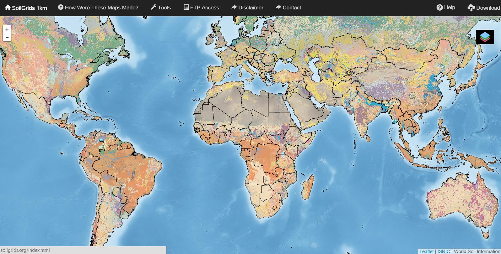
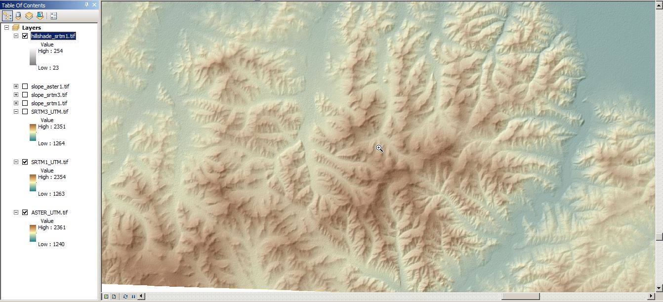
I would like to introduce you the newly global coverage of soils grid at 1km ground resolution (online since August 29th 2014). The dataset is funded and provided by…