With this post I would like to come back on a topic from September 2014. In this blog post on Digital-Geography I announced that from September 2014 until September 2015 high-resultion SRTM-data will be provided for free by the USGS. We also announced the estimated release dates for certain regions around the globe.
After checking the progress of the release in EarthExplorer, I realized that the release is proceeding much faster than expected. Till this day, only Norhteast Africa is missing. Parts of Canada, Russia, Greenland, Scandinavia, Artica and Antarctica are missing due to the SRTM coverage limit of the mission (56°S-60°N).
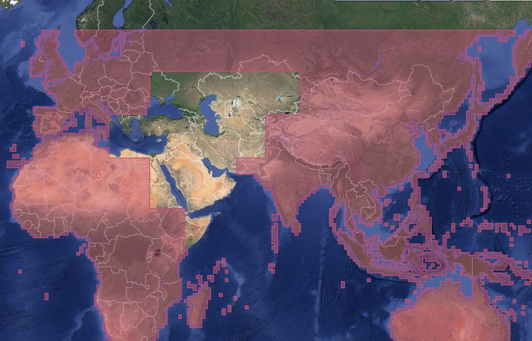
Before September 2014, only the USA was provided with the higher resoluted SRTM-1 images with a resolution of approx. 25m. All other regions only had the chance to use the SRTM-3 with 90m ground resolution.
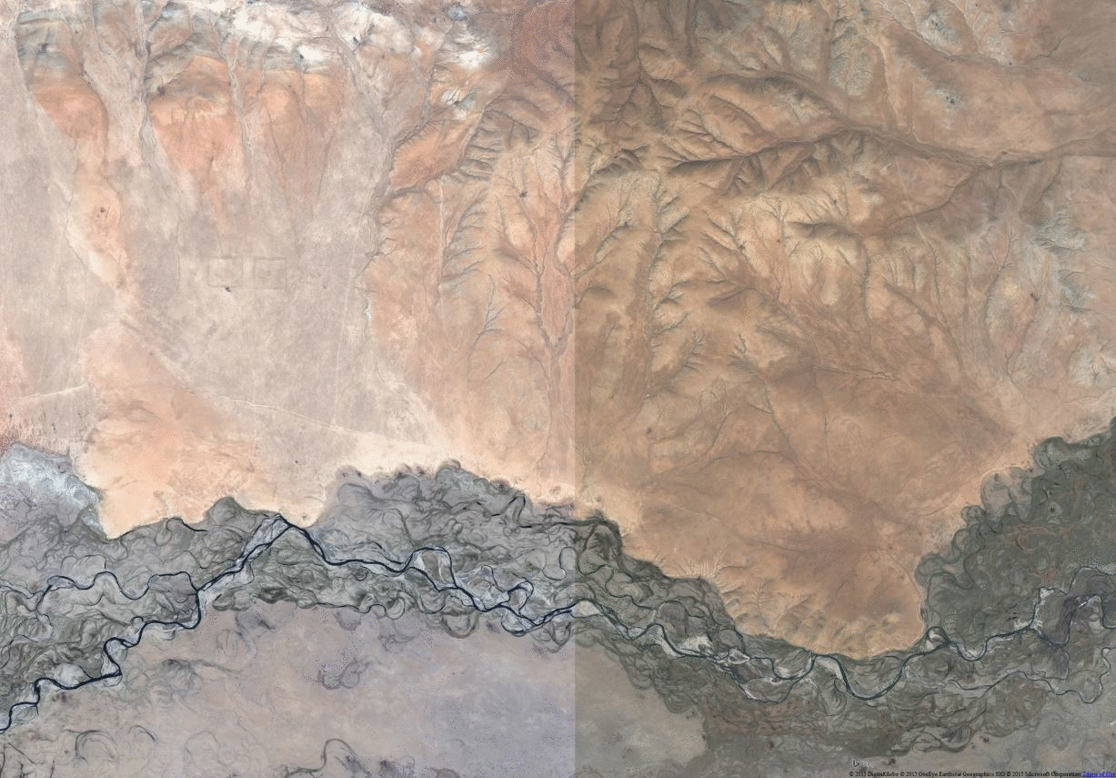
From now on, SRTM-1 can beat the free ASTER-DGM with a large global coverage. It’s worthy to give it a try. Have fun in examining the new data for your region!
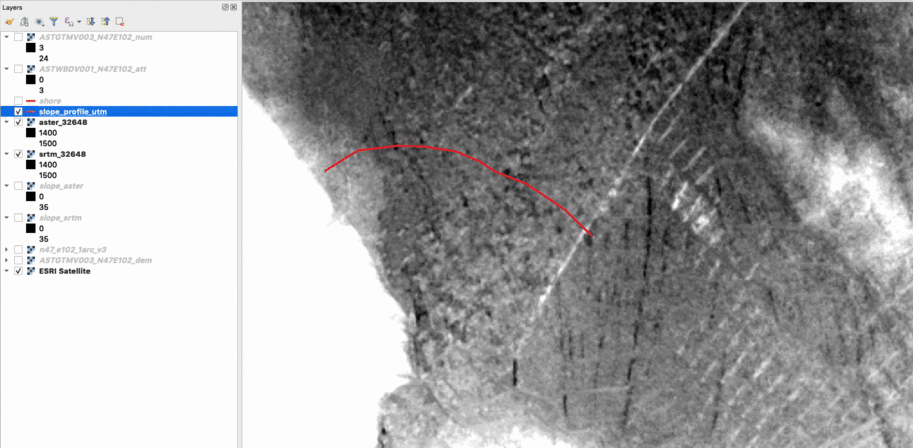

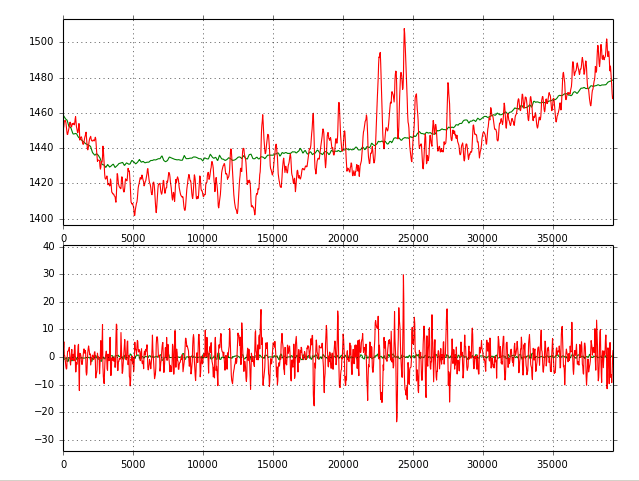
Thanks for notifying! I’Ve already downloaded the SRTM1 dataset for my normal AOI central Mongaolia. I’ll post in a few day how this is compared to ASTER DEM…
ATM this SRTM1 dataset looks very good!
i need 1 arc second for middle east.
how i can get it ?
how can i download SRTM for Middle East (Iraq)