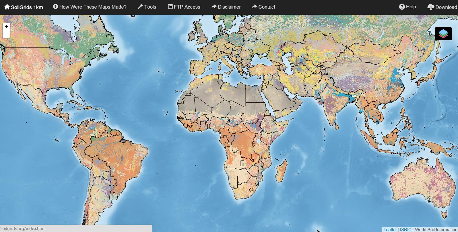
I would like to introduce you the newly global coverage of soils grid at 1km ground resolution (online since August 29th 2014). The dataset is funded and provided by ISRIC.
What attributes does the data contain?
All of you who are working on soils know the difficulty to find datasets with reasonable soil attributes like soil type and different soil properties. Even 1km ground resolution isn’t the best choice for many studies and calculations the data can be used for different purposes like erosion modelling, organic contenct calculations, textur comparison and many more for big areas like europe and so on. See a list with all attributes at six standard depths of the dataset:
- soil organic carbon
- soil pH
- textur (sand, silt, clay in %)
- bulk density
- cation-exchange capacity
- coarse fragments
- soil organic carbon stock
- depth to bedrock
- soil typ by WRB and USDA Soil Taxanomy
![Standard stratification and designation of a soil profile: (left) soil horizons, solum thickness and depth to bedrock (‘R’ layer), and (right) six standard depths used in the GlobalSoilMap project [3].](https://digital-geography.com/wp-content/uploads/2014/10/2.png)
How are the grids been generated?
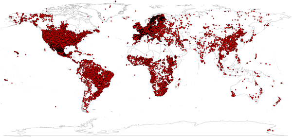
According to the data description the global coverage is generated by modelling it using a compilation of major international soil profile data (110.000 soil profiles) and a selection of ca. 75 global environmental covariates as soil forming factors like climatic and biomass indices, lithology and taxonomic mapping units.
How consistent are the data?
There are some constrains on the dataset.
- weak relationships between soil properties/classes and explanatory variables due to scale mismatches
- difficulty to obtain covariates that capture soil forming factors
- low sampling density and spatial clustering of soil profile locations
How can I download the data?
Downloading the data is very easy. Use this map overview to browse your area. Select it and download it.
But anyway, in my opinion it’s worth to download a sample and try to play a little bit. I’m sure there will be the moment when you remember the dataset and come back to work on it.
Please find a description of the data here.
Hi,geoghrafinBai,
mala kahi jaast samajal nahi,
pan yevadh samajat ki,
‘One day or another,
My bhachi wil be No.1
Lage Raho….happy diwali