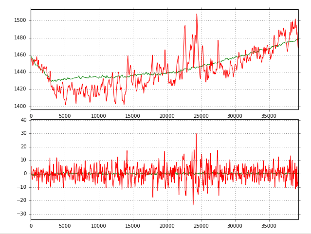
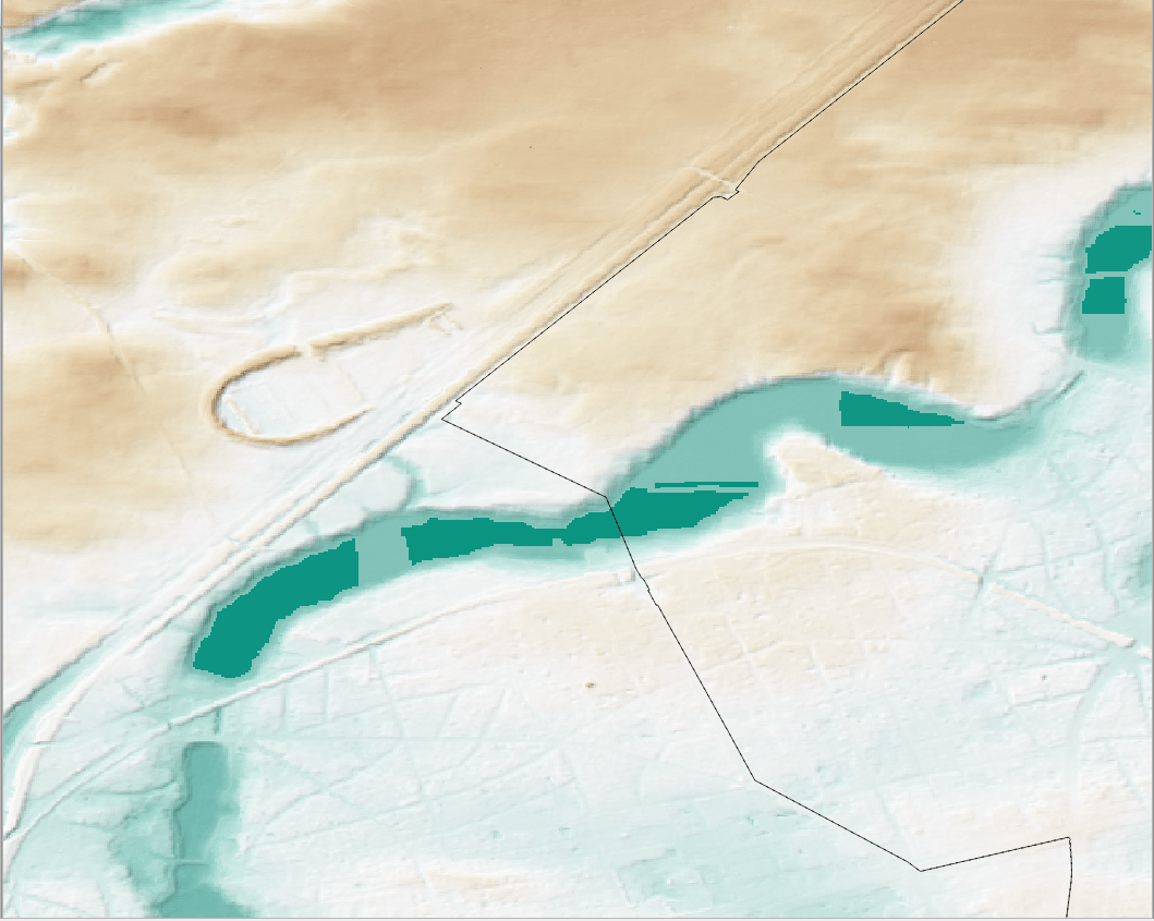
DEM comparison: SRTM 3 vs. ASTER GDEM v2
Let’s get ready to rumble! No, just kidding. We are all excited about the recent message from the white house: SRTM “1” (1 equals 1 arcsecond, whereas 3…
The White House announced on September 23th during the United Nations Heads of State Climate Summit in New York that they are going to release the high-resolution images…
In modern scientific researches of biological direction the geographic information systems (GIS) are increasingly used. For example, GIS technology is successfully applied in the study of patterns of…
Statistical data for a geographer is fun! War is not! Regardless what you think of the military it never hurts to be informed, so… Lets play a bit…

Since July 1st 2014, the Deutscher Wetterdienst (DWD) eased restrictions for the usage of climate data and provides users with a big dataset of free climate data for…
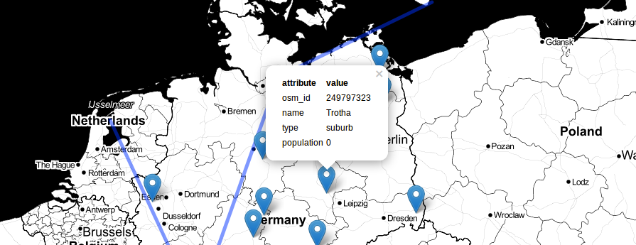
Not long ago I was tasked with finding out how many people live within an arbitrary polygon. In this particular case, the polygon represented the portion of the…
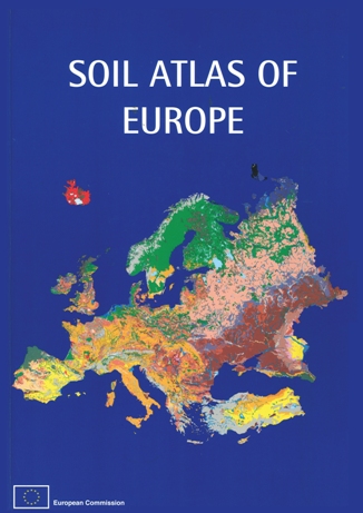
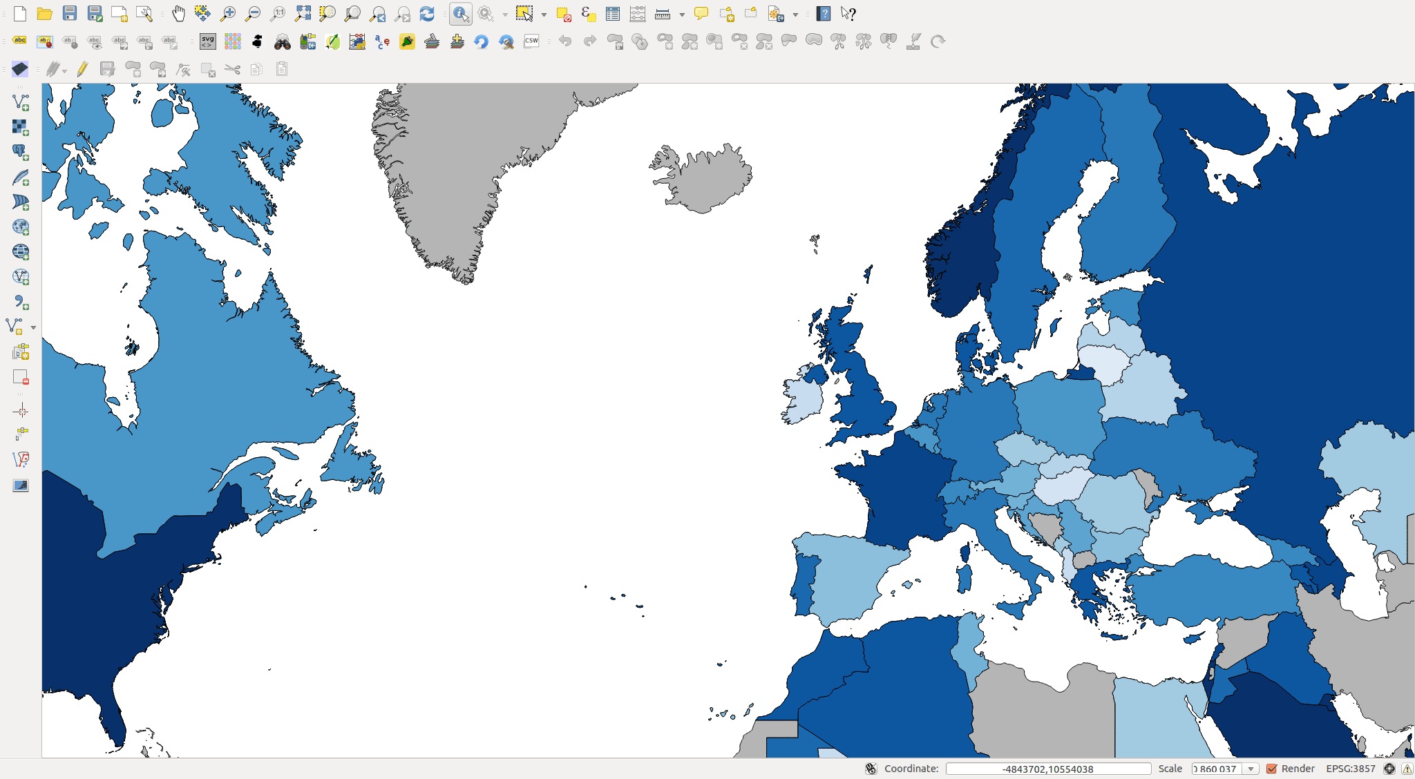
If you are working on European soils, I’m sure you already know the website of the European Union Joint Research Center, the so called ‘European Soil Portal‘. If…
It was just a small idea but I haven’t slept much since it came to my mind to build a plugin fo QGIS. It should create a basic…
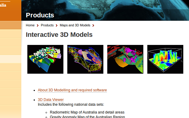
The Australian government now provides a bunch of commercial and free geodata on their Australia Geoscience-Portal. Like the well known U.S. data provider Earth-Explorer, you can do a product…
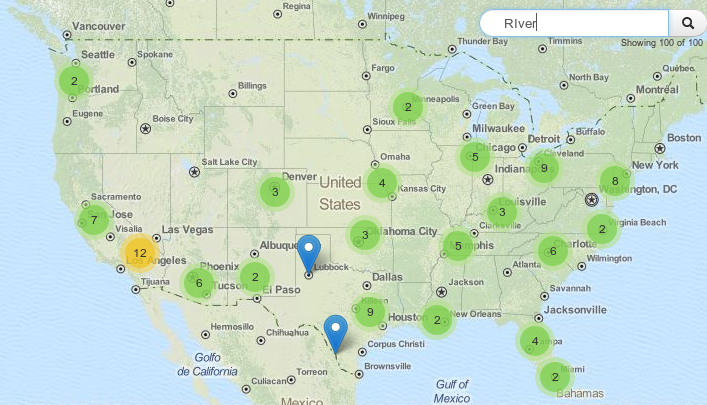
When it comes to certain tasks the usage of leaflet can be tricky. Of course it claims not to be the ultimate webmapping solution but one of the…