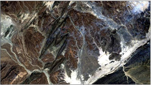
cirrus example taken from Landsat 8 Data Users Handbook . https://landsat.usgs.gov/documents/Landsat8DataUsersHandbook.pdf
Landsat 8 is the successful successor of Landsat 5/ Landsat 7. It was launched on February 11, 2013. Since then we saw a major increase in possibilities of getting access to the data and integrations in software packages. Now the USGS published an in-depth document to support the basic understanding for the Landsat 8 observatory and its science data products.
Landsat 8 Data Users Handbook
The living document “Landsat 8 Data Users Handbook” is a 105-page document which covers several aspects of the sensor and the program.
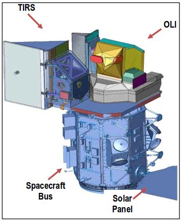
Landsat 8 observatory (taken from Landsat Handbook)
After a short introduction you will get to know:
Landsat Observatory Overview
Instrument Calibration facts
Level 1 Products (generation and description)
Conversion of DNs to Physical Units
Data Search and Access
Known Issues
The handbook describes the current status of the data which is available via a variety of providers incl. an Amazon Web Service or plugin in QGIS in easy sentences. Formulas are explained and it enables you to work with Landsat 8 data in a very convenient way.
The document can be downloaded here.
Looking Back Most people using GIS or remote sensing data came across the data obtained by the landsat satellite family. It all started with the Landsat 1 mission…
The main question when using remote sensed raster data, as we do, is the question of NaN-treatment. Many R functions are able to use an option like rm.NaN=TRUE…
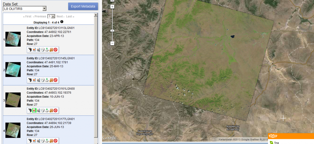
Thanks to a post from the mapbox colleagues I’ve found out that new Landsat 8 scenes are already available on EarthExplorer. The data is great!!! 0 0 votes…
The earth observation satellite Sentinel-2 with Sentinel-2A and Sentinel 2B was launched on June 23rd 2015 from space centre Kourou in French Guiana. The mission is part of…