On the 9th of May Google introduced an astonishing new technology that makes the good old flickr function in Erdas Imagine quite useless. With the Earth Engine from Google Earth you will be able to see the world change since 1984. They have compiled about 900 terabyte of Landsat Data. So they stitched, balanced the contrast, analysed and ordered about 2’000’000 images of the world to provide a comprehensive look into Earth’ history:
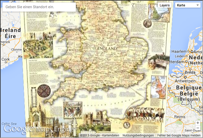
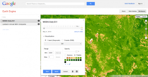
Additionally you are able to browse the data catalog and use different data in your own remote sensing web-app by adjusting your workspace and adding NDVI or Modis data to your current view:
So enjoy it by playing around: the Google Earth Engine
