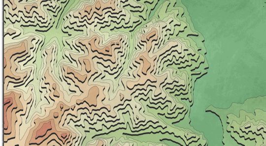
Tag: DEM

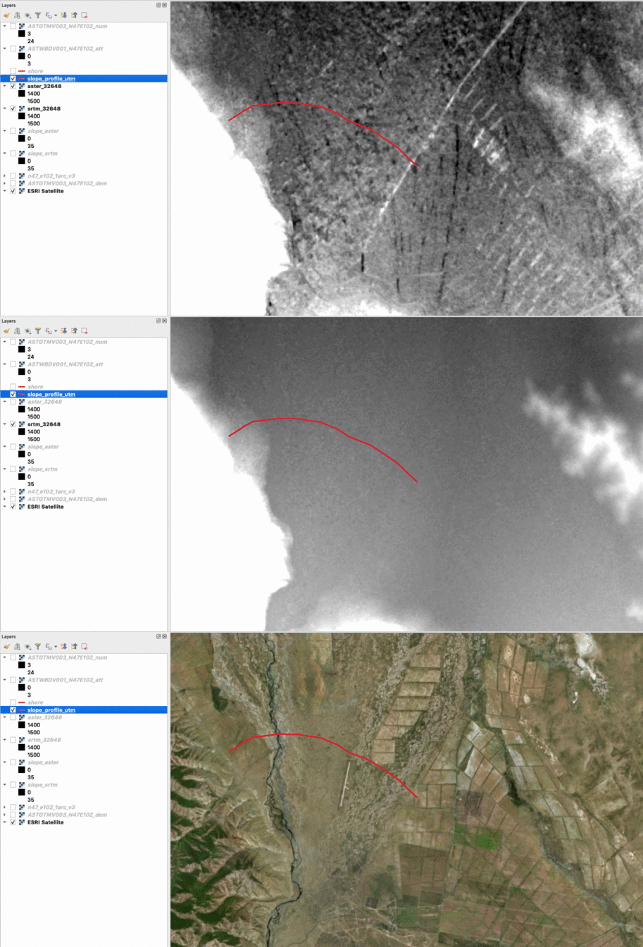
GDEM V3 vs SRTM 1: a comparison
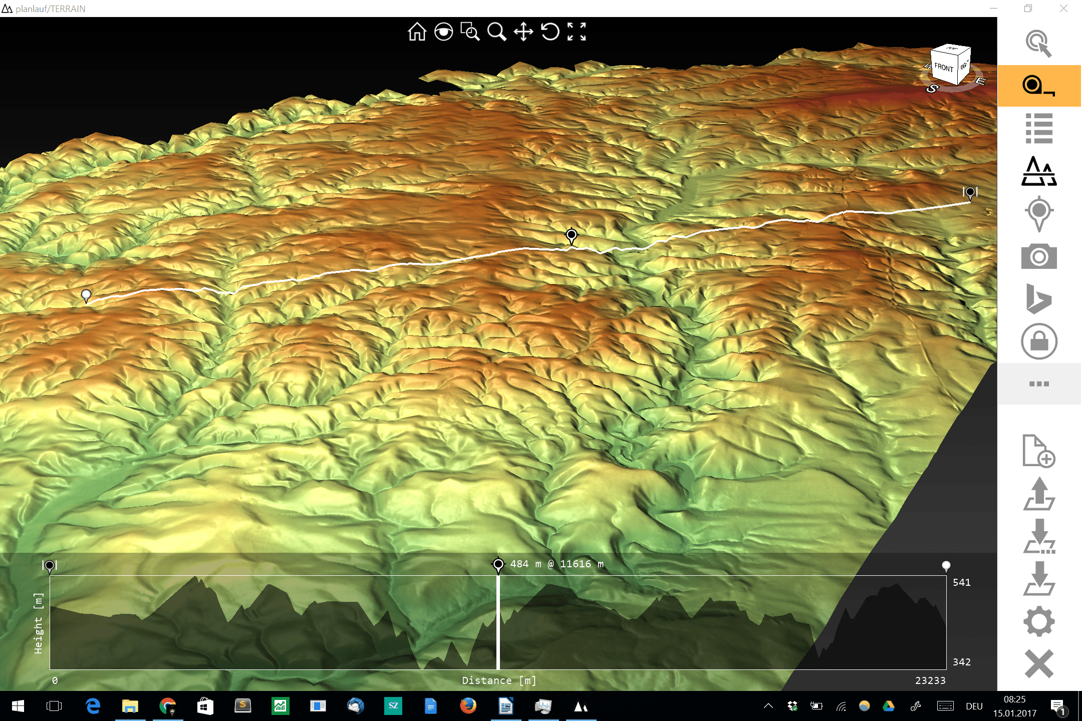
planlauf/TERRAIN – a lightweight 3D DEM viewer for daily usage
The visualization and interpolation of 3D terrain (point) data (DEM or DOM) could be a hard task for current GIS software and small to midsize hardware. One thing…
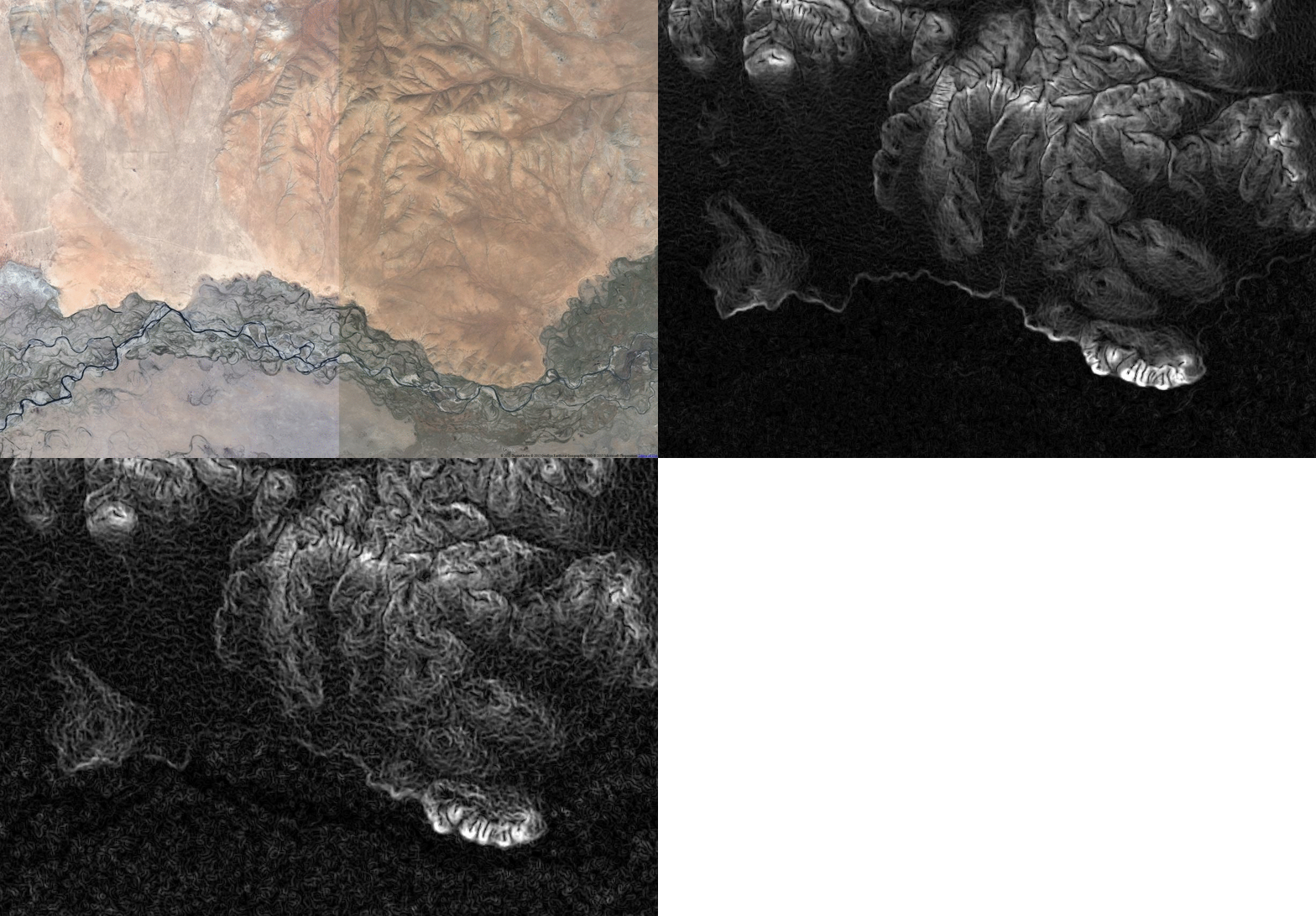
Comparing ALOS Global Digital Surface Model “ALOS World 3D – 30m” with SRTM 1
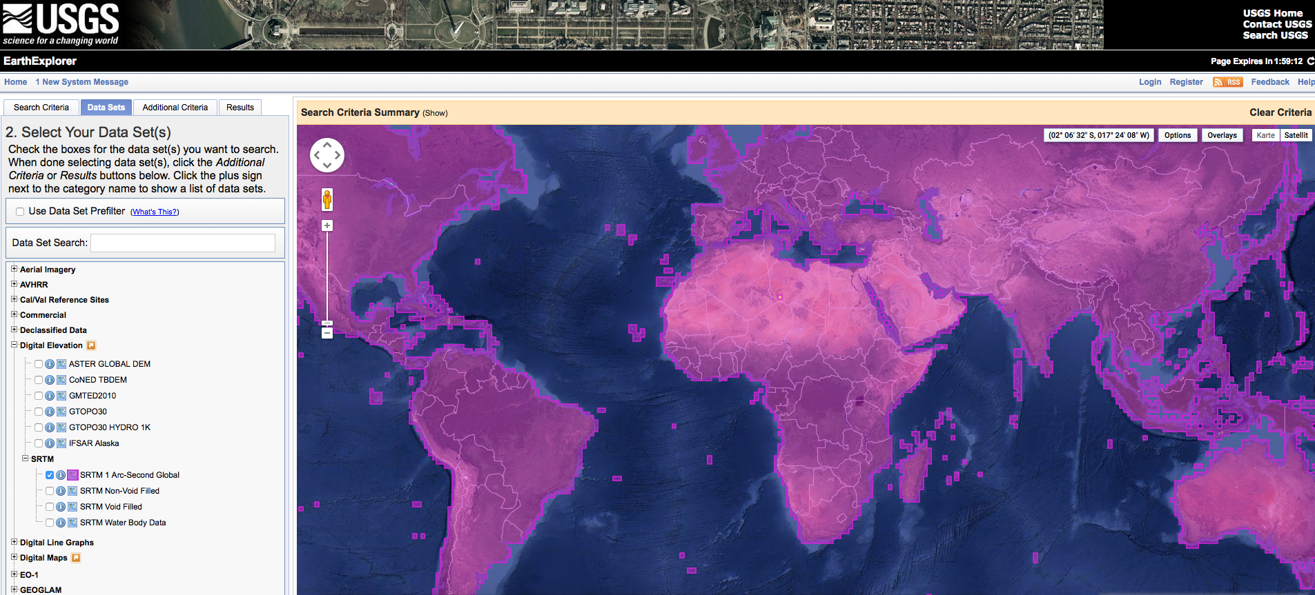
Short Announcement: SRTM 1 Data Worldwide
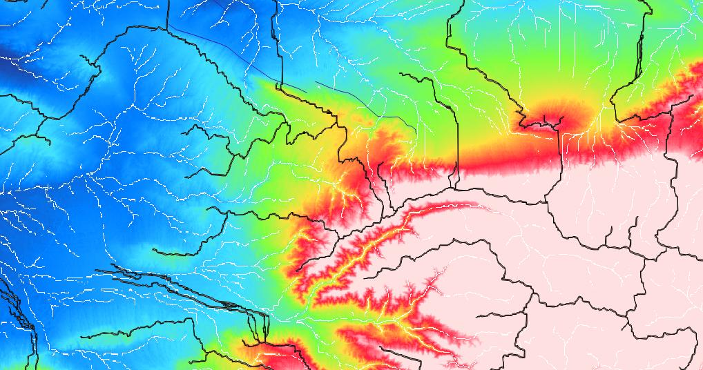
Some ways to produce high-res DEMs – tools and data
Many of us use digital elevation models (DEMs) for a whole bunch of different applications. There are some standard products which everyone should know, like SRTM1, SRTM3, ASTER,…
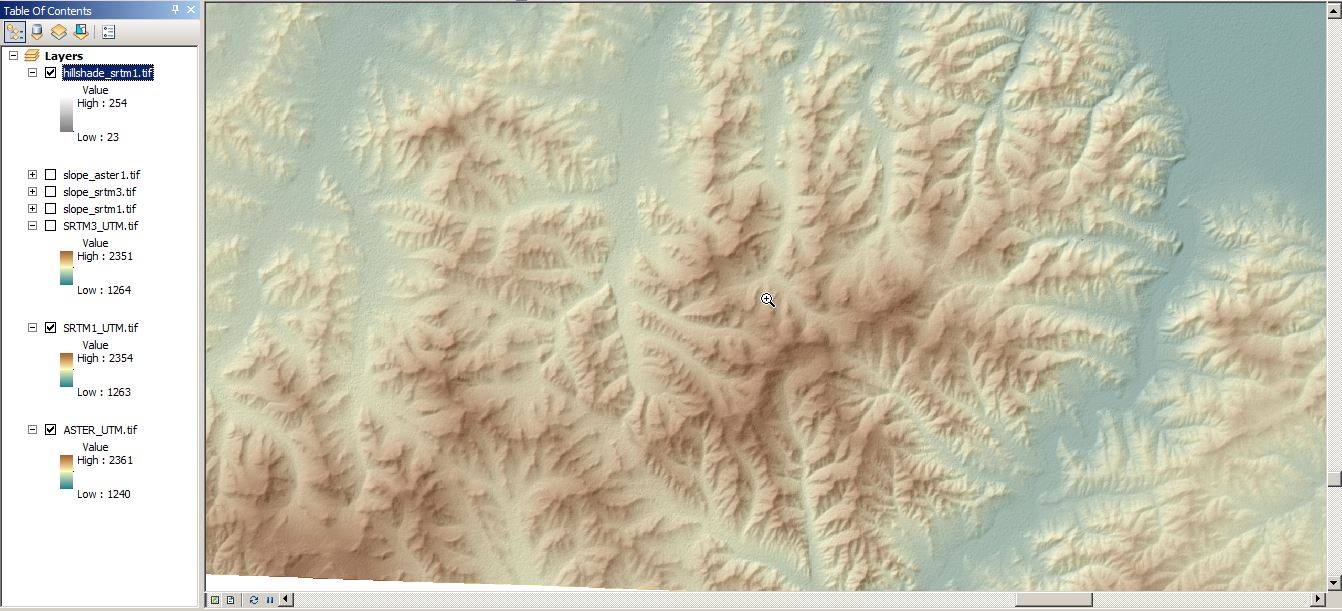
Short Announcement: “Quality Check” on SRTM1
SRTM-1 (1 Arc second) now available with large global coverage
With this post I would like to come back on a topic from September 2014. In this blog post on Digital-Geography I announced that from September 2014 until…
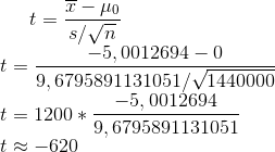
Raster Comparison using ArcGIS
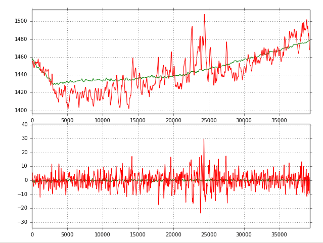
DEM comparison: SRTM 3 vs. ASTER GDEM v2

Announcement: Realease of worldwide high-resultion SRTM-data (30m)
The White House announced on September 23th during the United Nations Heads of State Climate Summit in New York that they are going to release the high-resolution images…

Peakfinder – identify the hills around you
Peakfinder.org is a fascinating website. It’s not new, but I just came across it few days ago by a recommendation of @callanbentley. It appears very simple, very clever and…