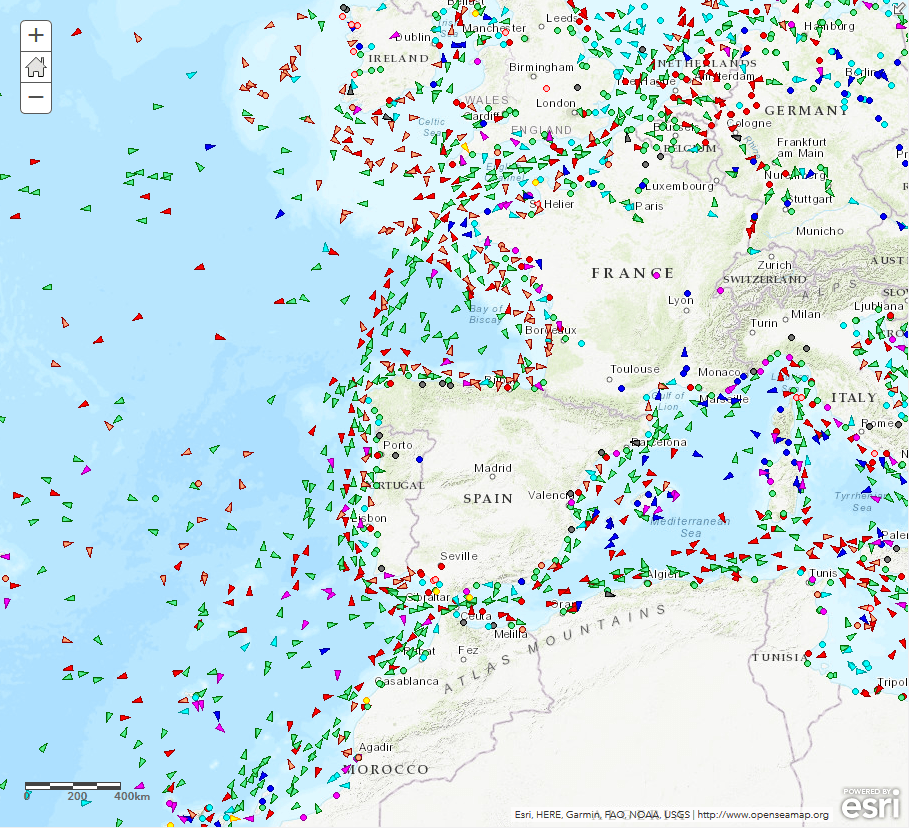
Vessel tracking the python way
Let’s assume you like cruise ships, tanker, ferries or you’re so fortunate and own a fleet of vessels cruising over the oceans. But where the heck are the…

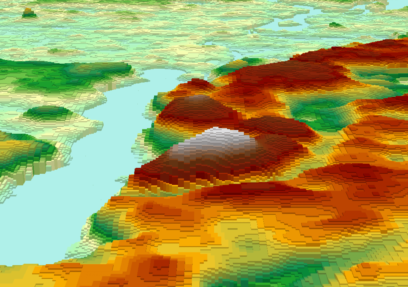
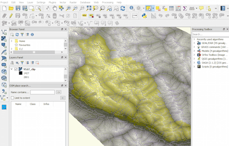
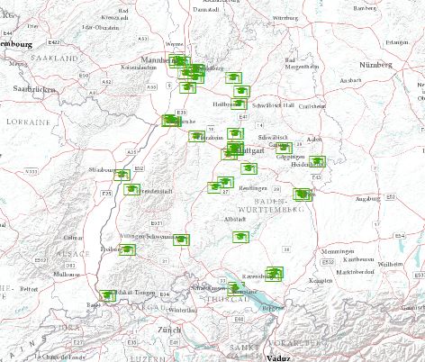
Last time we had the task to create mountain ranges polygons for the whole world. I prepared a small tutorial referred to that. Maybe you can find something…
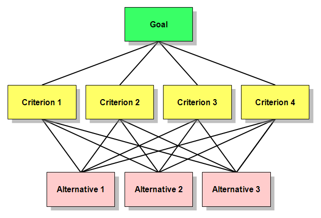
When it comes to site selection problems or suitability models, the spatial Multi-Criteria Analysis (Weighted Overlay) is the most commonly used method. It’s easy, simple and popular. However,…