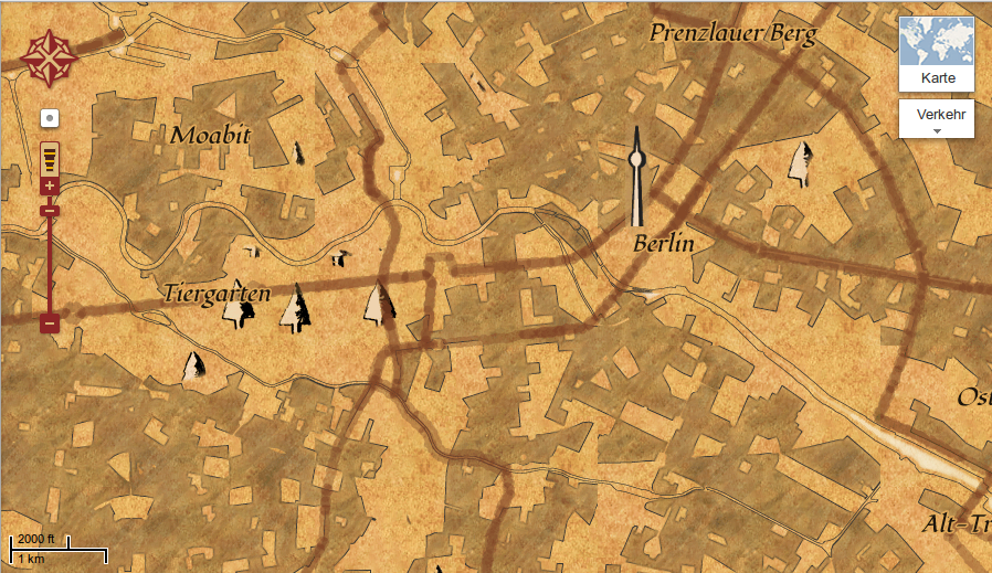
There were some rumors in the blogosphere about the new program of National Geographic Society. But one thing first as it is more important: Our good old friend Mr. Mercator will have an anniversary: about 500 years ago he was born in Rupelmonde (Belgium) and distoretd our view on the world quite significant:
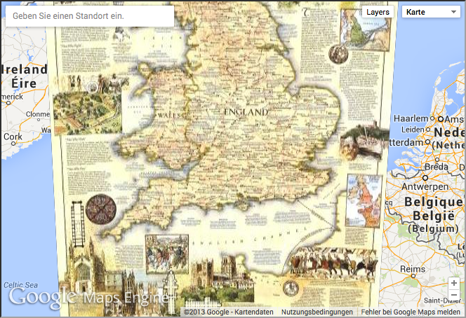
Let’s go back to the NGS: They will give access to low-res versions of about 500 ancient/historic maps which than can be consumed using the Google Earth Maps Engine. Getting access to high resolution data will be granted if you are willing to pay some bucks. They showed some examples on their official enterprise blog:

The reason for this is to get some new money for their projetcs, which is a good way in my point of view. But let me point something out: the NGS website sucks as you are always asked to register… If you wanna feel this pain as well: see this great map of the Colorado River.
The main reason for them was that non-technical editors can easily use the enterprise product from Google to publish their maps:
“We needed a high-performance mapping platform to produce and publish hundreds of interactive maps. We also wanted a relatively simple web-based workflow that could be used by non-technical employees and wouldn’t require any programming or desktop software.” Okay… I would love to see neo-cartographic-enthusiasts working over their at NGS and not “non-technical employees” but that’s another point 😉