Using Sentinel-2 for crop monitoring
Sentinel-2 is the optical satellite of the Copernicus programme. It can be compared to Landsat, although it has a better resolution, of 10 to 20 meters. We’ll be…
Sentinel-2 is the optical satellite of the Copernicus programme. It can be compared to Landsat, although it has a better resolution, of 10 to 20 meters. We’ll be…
Once in a while you may need to take an unprojected file and add coordinate parameters to the header. Assuming you use ENVI, the hard way is to…

In a previous post I talked about some of the remote sensing themes during the first half of the American Geophysical Union Fall meeting. Here I want to talk…
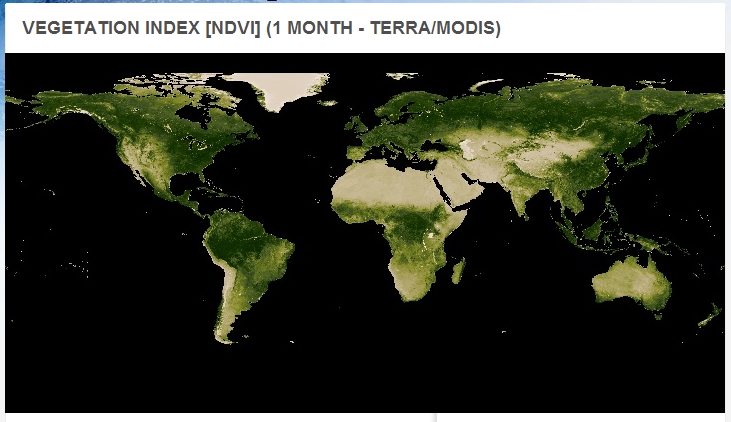
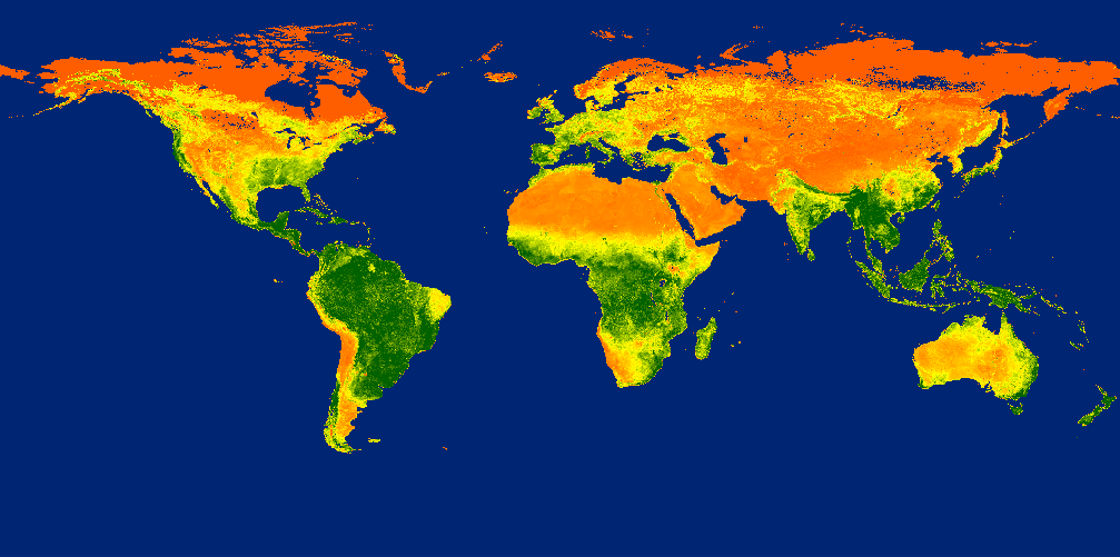
The NASA Earth Observations updated their data archive with fresh NDVI-Datasets from January 2013 to June.
On the 9th of May Google introduced an astonishing new technology that makes the good old flickr function in Erdas Imagine quite useless. With the Earth Engine from…
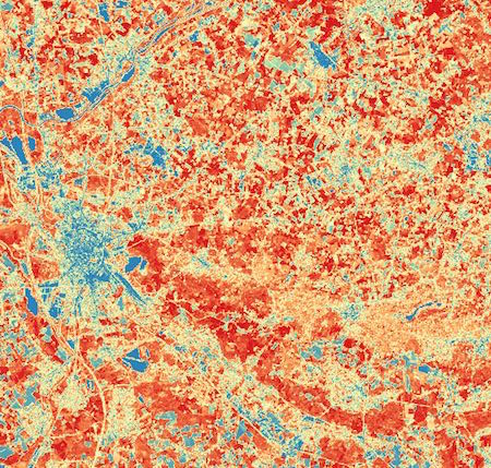
In one of my last seminars relating remote sensing techniques I was blamed for calculationg the NDVI and SAVI directly with the ModelMaker in Erdas Imagine using digital…