Short Announcement: OpenWhateverMap
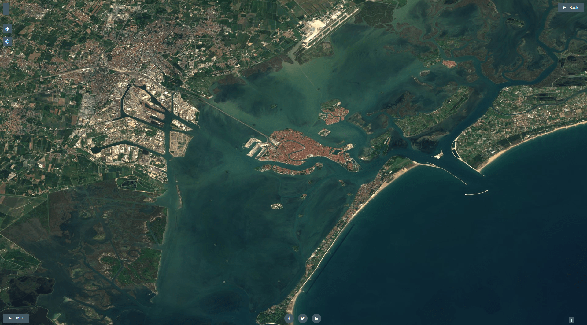
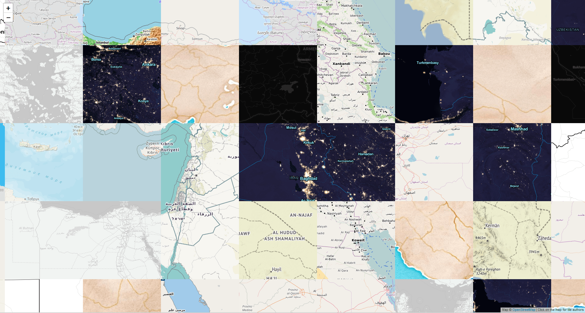
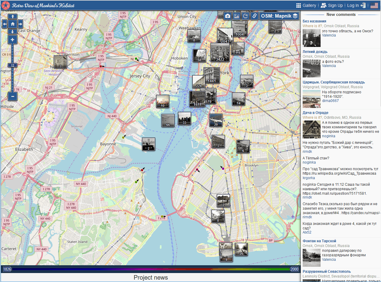
Choosing a basemap for your cool web map is always crucial for the style and perception of your map. A colorful basemap like watercolor might be stunning but…
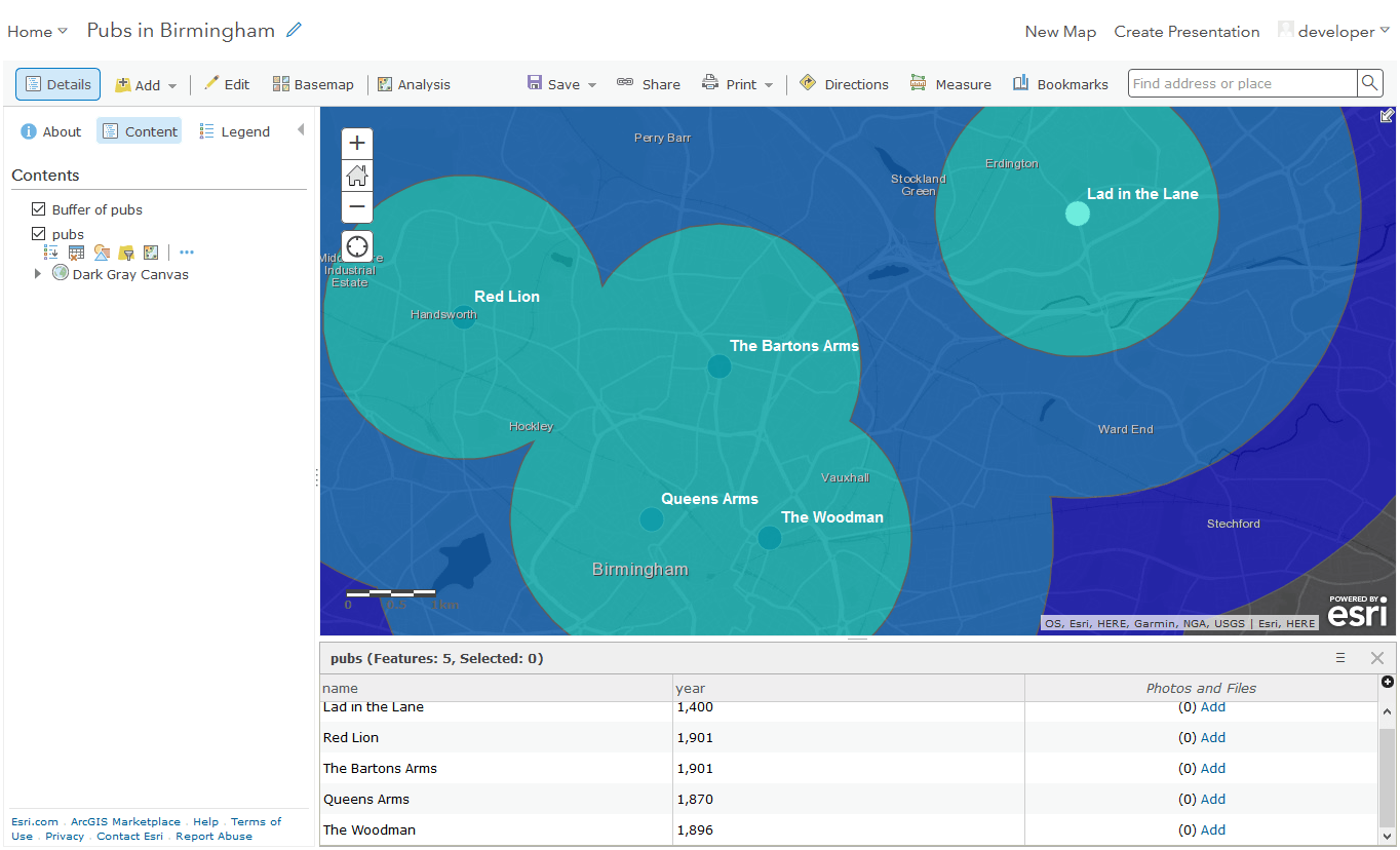
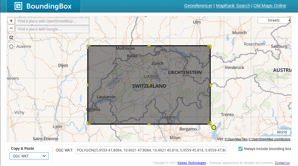
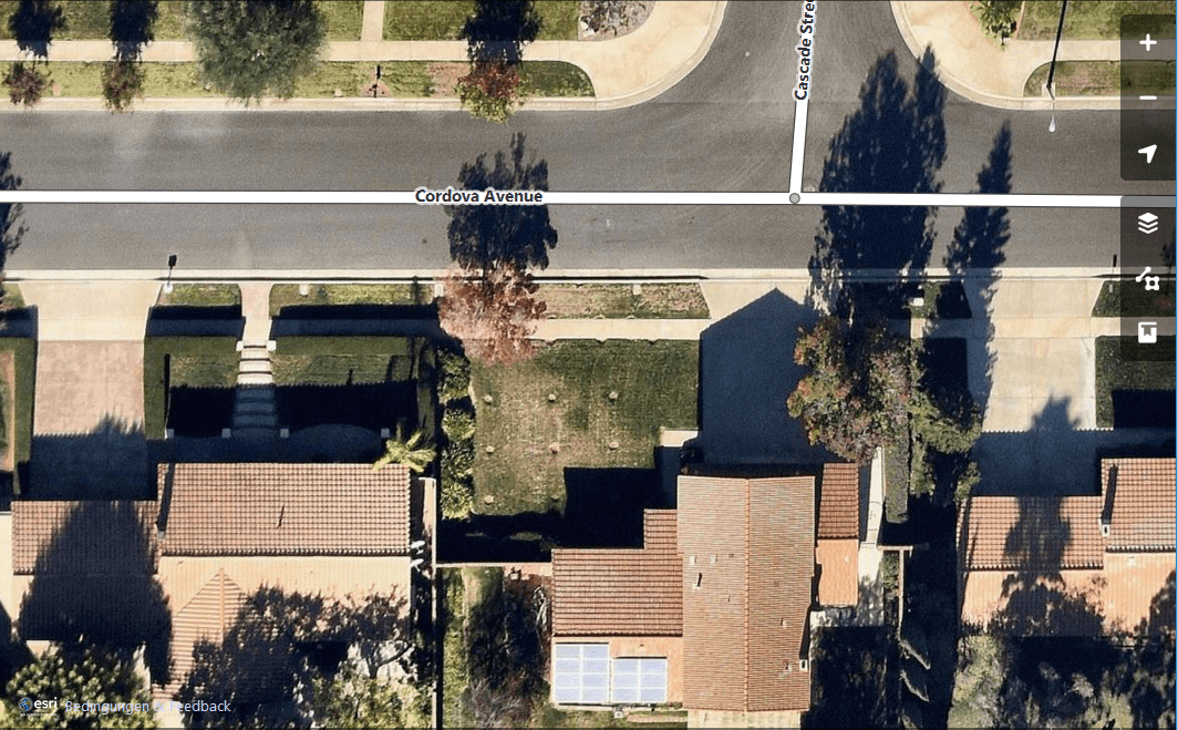
Bounding boxes are crucial for a lot of geospatial projects: wether you need to limit the extent of your web mapping application or need to cut your research…
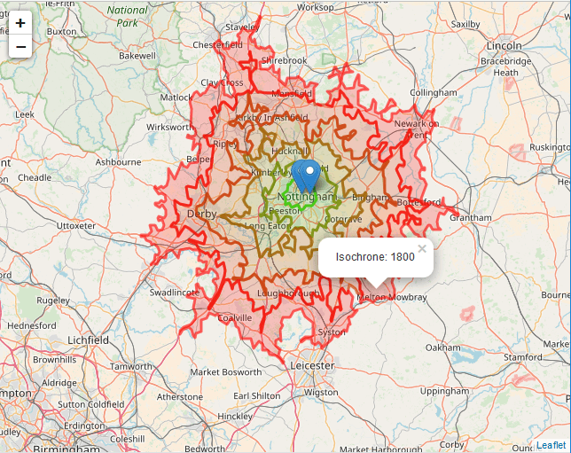
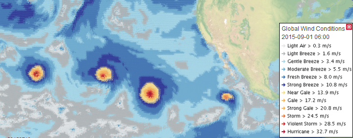
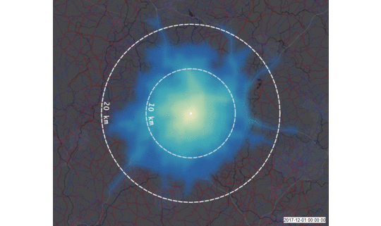
Introduction In my previous two posts I introduced the Cloud based data broker technology ERDDAP and demonstrated how one can use it to obtain geo-spatial scientific environmental data:…